This loop combines various sections of trail into a ride that can be done in under a few hours. It is mostly mellow forest riding, a few miles of road, a few miles of uphill climbing, and some fairly fast but unremarkable downhill. Being in the Fraser area means that there is little true "single track" -- most of the trails are reclaimed forest roads that are being used as bike trails. That means don't count on much roller coaster fun riding. It is pretty much all steady grade climbs and descents, mostly straight trail without a lot of thrills. You can ride this loop clockwise or counterclockwise. Clockwise will present Tipperary as a downhill, which is preferable to riding Spruce Creek down since Spruce Creek is basically a steady grade with lots of loose rock. Tipperary, in my opinion, is the better ride down. On the other hand, riding counterclockwise means you can ride down Flume, which is one of the funner rides in the area. Don't even try to do this ride without a good map or somebody who knows the way; there are too many trails and intersections that can lead you astray. Note, if you are riding counterclockwise, when you get to the bottom of Flume, you will want to go across the creek (the fork to the left) and pick up the lower section of the Creekside trail to take you back to the road. If you ride it clockwise you can ride up Creekside instead of Flume (they both parallel the creek) and not slowdown the downhill riders on Flume.


This trail is mostly old roads that's slowly growing into a singletrack. Little tech, just climbs and descents. Nice riding in the trees.
| ThankThis is a great set of trails with flume and creekside being the best. A great loop is creekside to flume and then ride up creekside again and follow the road up to zoom. Zoom is properly named, you just sit back and enjoy the ride down!
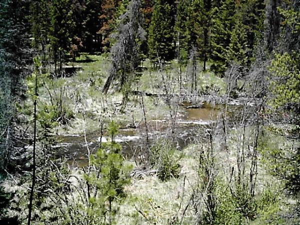
| ThankThe trail system they have in Fraser is fun even though it is not all real single track. I like the climb up tipppery when you are in the meadows and on the switchbacks, the veiws are nice and the singletrack is narrow. There were alot of fun creek crossings also, the biggest one being on Flume.
| ThankThis is actually a fun set of trails in the Winter Park area. The Flume is particularly fun, at least if you hit it on the downhill. I even think Northwest Passage is kind of fun in it's own, flat way.
| ThankIf you ride nothing else in the Fraser area, ride the Flume. Something about riding singletrack through lodgepole forest is almost otherworldly and amusingly disorienting.
| Thank