While still a prairie ride, this one is consistently entertaining with swooping singletrack across the plains and technical, exposed moves on the cliffs above the Missouri River. By starting at the east trailhead, you get to go uphill and against the wind on the way out and more downhill with the ever present wind at your back on the return. From the Morony trailhead, it's about 3.5 mi to the Ryan trailhead. The trail does continue further west from the western (ryan) trailhead to a great overlook above Ryan Island (about .5 mi) and about another mile beyond that before running into a dirt road. About three miles of dirt road will bring you to the Rainbow dam which may be corssed on certain summer weekends to connect to the Rivers Edge trail for an epic ride. Whichever direction you go, it's generally best to take the forks that go closest to the river as they give the best scenery and the most technical entertainment. Parts of this ride are not very well travelled and seem very remote, so be self sufficient. Beware, there are a couple technical moves that, if you fall the wrong way, will plunge you into the unforgiving river far below with no place to exit among the cliffs. This ride is a great way to get away without driving too far.


Great trail
| ThankMy husband and I road the North Shore trail in October 2012. We chose to ride all the technical and difficult sections after Knicker Biker suggested it to us. It was a lot of fun and very scenic. We would suggest to be aware of the prickly pear cactus. I managed to flatten my front tire and we didn't have a repair kit. Then as I jogged along in the trail, with my bike coasting over the terrain to the side of me I managed to completely total my back tire with 100's of cacti needles. It was a great day and a great ride / run.
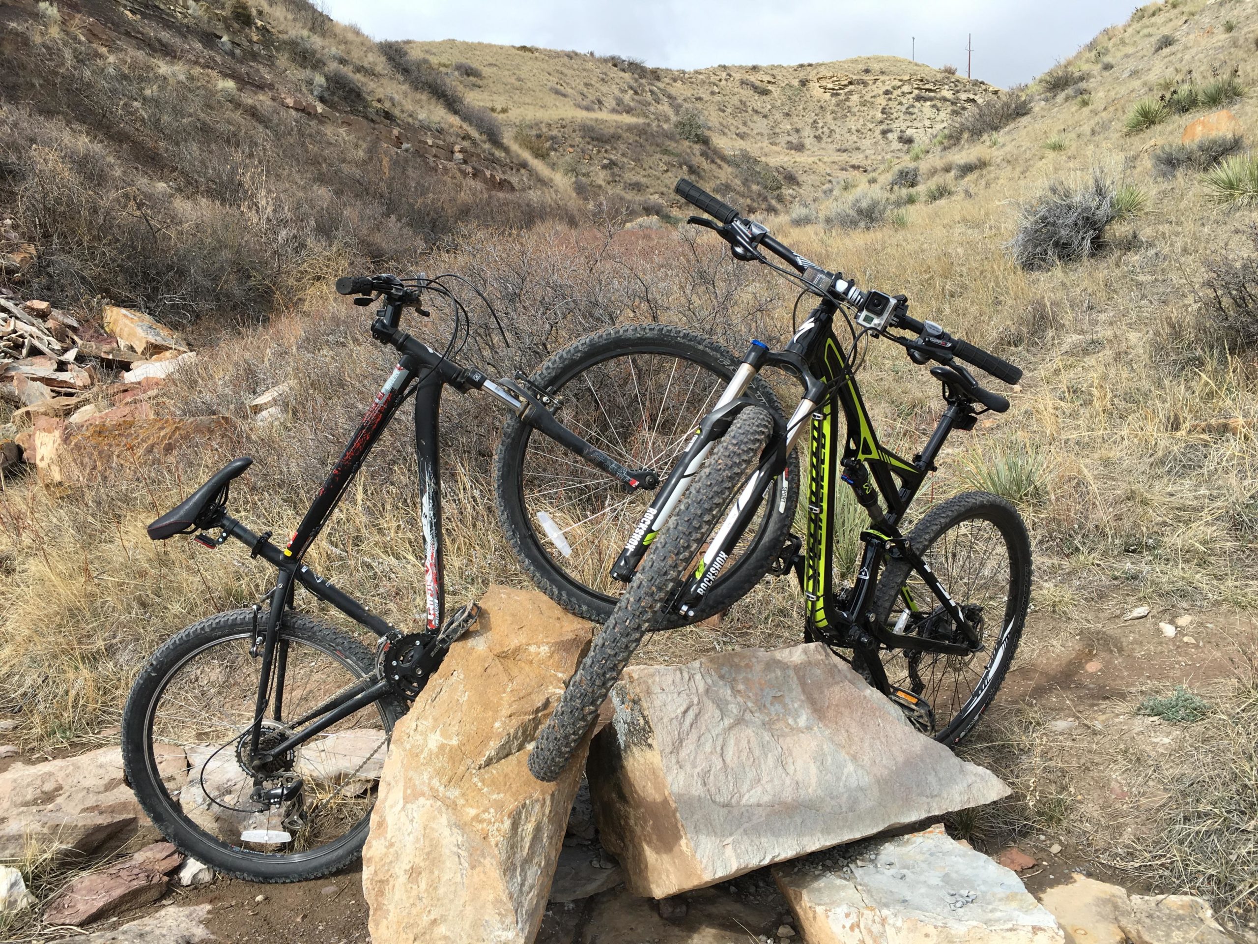
| ThankThis is a great ride along the river technical in some spots. suggest a tire repair kit several jagged rocks. Great views of the Missouri river and even some wildlife. steep cliffs to watch out for 40 to 50 feet to the river be careful.
| ThankAnother great review by Skibum above. Just an update. There have been some improvements and additions to the North Shore trail. If you are an advanced rider follow Skibum's review. Stay near the river for the most technical and interesting riding. However if you are looking for a trail to take the kids on or a way to lengthen your ride you can also use the loop that runs out of the North Shore trail head parking lot and turns North. there is a relaxed single track that starts with a gentle but persistant climb away from the river. The single track eventually makes it's way back to the main trail and you can loop back toward the parking lot you left from. About 1/2 mile along the river (and some cliff exposures) you will see a expert/intermediate trail marker. You can bear right (intermediate) and climb north again away from the river. This climb is moderate but not too long. There is some very nice single track that leads you back to the North Shore trail head parking lot. I normally turn around there and ride East to the Marony dam. The trail along the river is very good singletrack with some severe penalties if you goof up. But it is good riding. Another option is to leave the trail head and ride West for some additional single track. It ends at the dirt/gravel road but it is worth the ride. You could park on the north side of the river at the end of Rainbow Dam road and ride the two track East until you link up with the single track. Then continue on to Morony dam. It is about a 20 mile out and back. Roughly 8 miles would be on the gravel road.
| Thank