×

|
Rate it:
Tags:
Level: Beginner
Length: 11 mi (17.7 km)
Surface: Other
Configuration: Network
Elevation: +10/ -10 ft
Total: 1 riders
Mountain Biking Morrison Dam Conservation Area
#196 of 312 mountain bike trails in Ontario
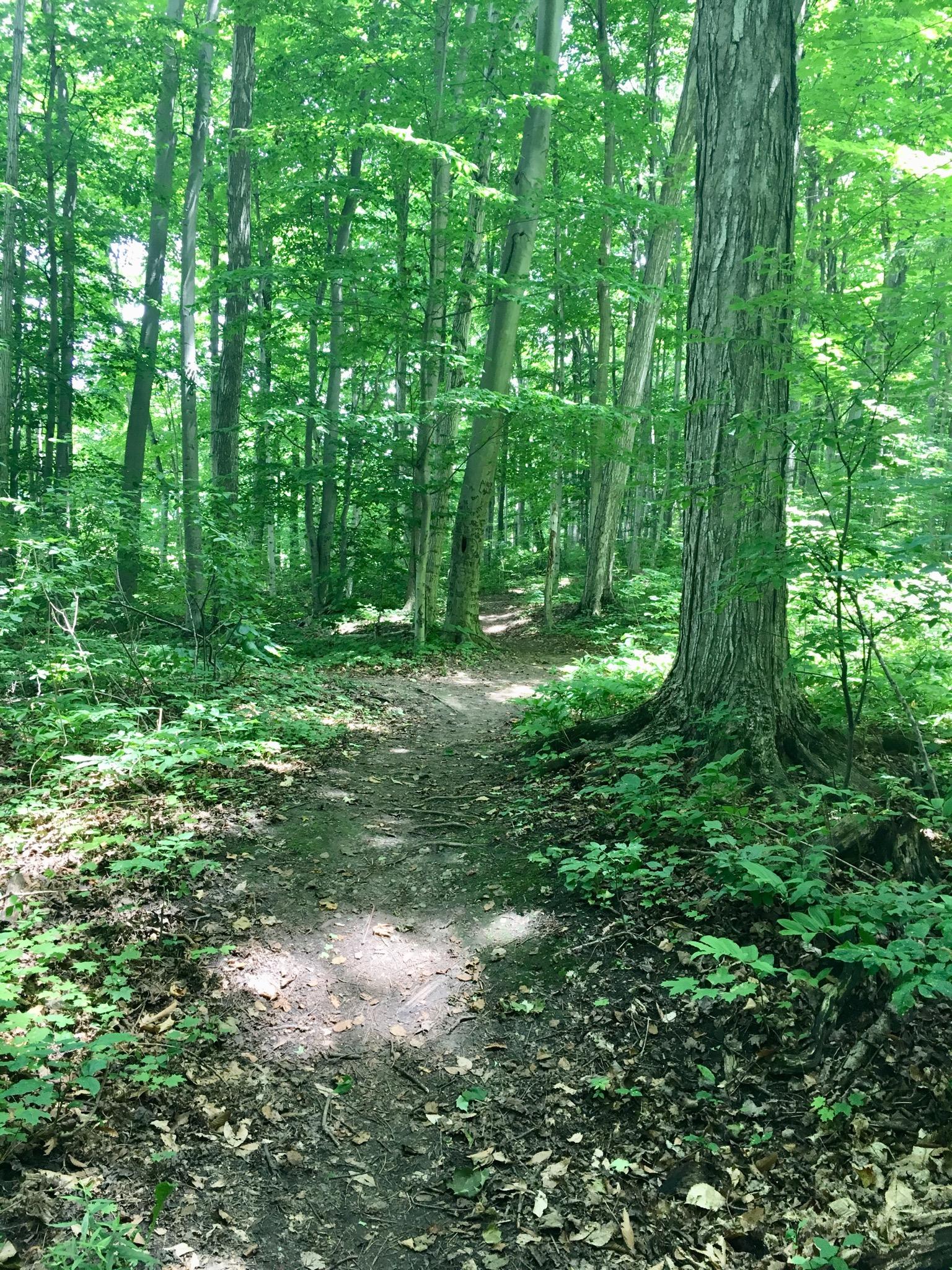
Various gravel path ways around the dam and lake , which also head into the downtown core of both sides of the river. Numerous off shoots and loops of single track trail.
First added by Paul Loeffelholz on Jul 2, 2019. Last updated Apr 17, 2020. → add an update
Before you go
- Drinking water: unknown
- Lift service: unknown
- Night riding: unknown
- Pump track: unknown
- Restrooms: yes
- Fat bike grooming: unknown
- E-bikes allowed: unknown
- Fee required: unknown
This trail information is user-generated. Help improve this information by suggesting a correction.
Conservation office and dam parking lot. Concession road#2


Loading reviews...View more