This loop will take you on a lot of the trails in the system, and is riding in
the uphill direction, though you can ride the other way and have just as
much fun. Pretty much everything in the park loops back to a double track
called "Berry Farm Road". From the visitor center at the park, start up the
road, pass the picnic/parking area on the right. There is a gate on Berry
Farm road, take a right towards the group camping area, and keep your
eyes open on the left, within 50 yards you will see the trail on your left.
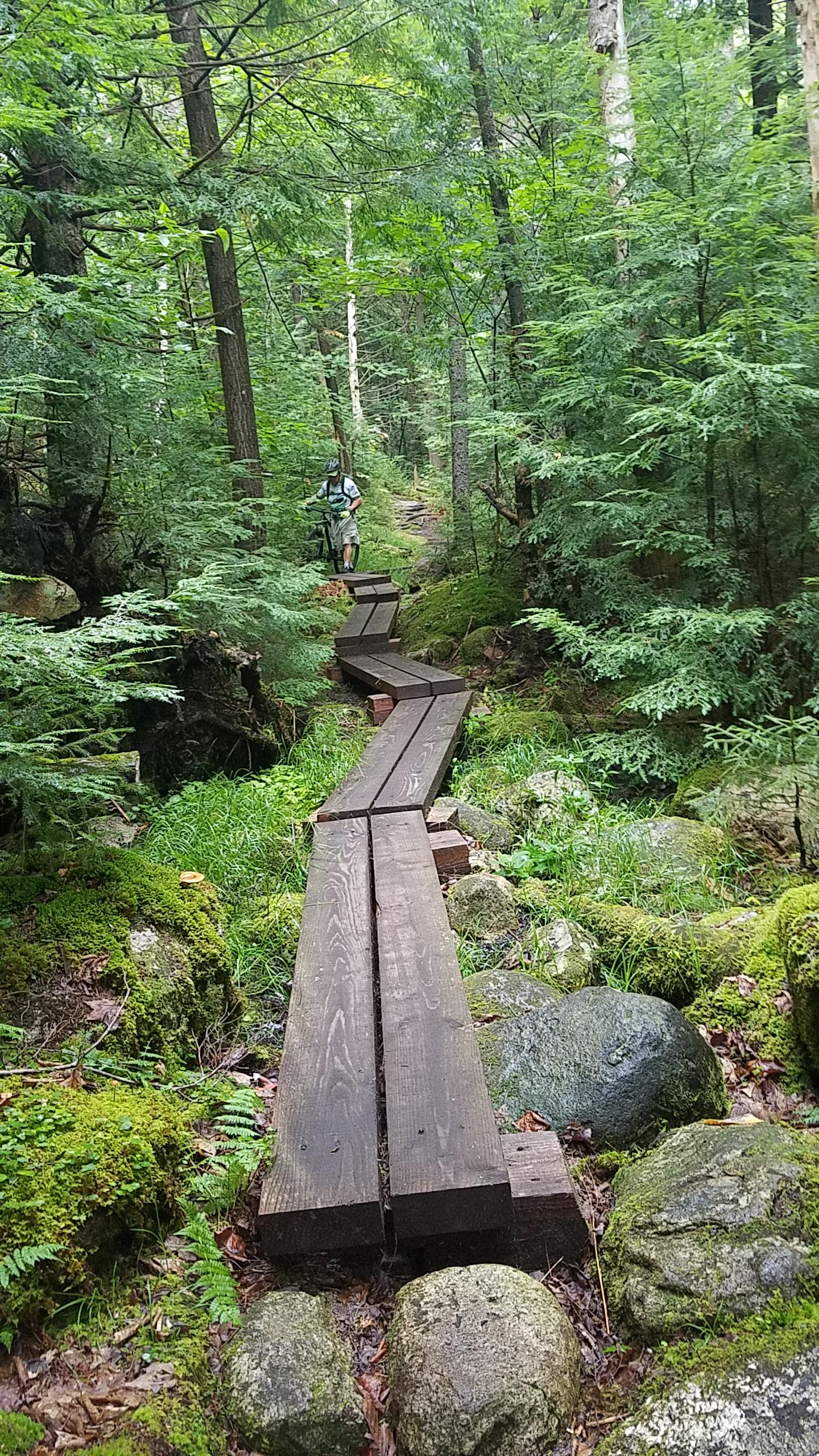
Shortly after entering the woods the trail T's, and you will want to take a
right. This is "Deerfly" trail, and it climbs pretty steady, some roots, and
some fun features to play on or ride around. Stay straight on this trail all
the way to the top of the climb, where it T's again.
Turn left (obvious way to go). The trail undulates up and down a bit, over
some new bridging, drainage work, and trail relocations put in by our
awesome volunteers this year. When the trail T's again, left will take you
to Berry Farm if you are done, but take a right up the hill and continue on.
You are now on Borderline trail, as it continues to make the climb up
through the park at a nice grade. This section of trail was cut new a couple
of years ago, and rides awesomely, with MTB specific bridges. Everything is
rideable, just pedal and go for it. It will eventually loop back to Berry Farm
Road as well, where you take a right up hill, and very quickly take another
right on to the next trail, which is the extension of Borderline. Climb, climb,
climb. You may or may not see a little Y intersection off to the left after the
awesome descent, but stay right and you will jump back on to Berry Farm
Road shortly.
At this point, you have the options of either riding back down the
awesome trail that you just rode up, it rides just as well the other direction.
You can turn left and ride down the road to your car, or you can turn right
and climb the road for about 10 minutes to reach the Perimiter Path on the
left hand side, which is a long, fast descent that brings you most of the way
back to the base area.
The Perimiter Path is the only trail on this ride which has a sign, that reads
"CCC Perimiter Path", take that left. We finally have this trail in good riding
condition, though it was long forgotten and still needs some work. You will
find the bottom of the hill faster than you found the top, cross a bridge, and
have a short climb back up to Berry Farm Road.
A right turn and down the road will take you back to the campground, don't
forget about the gate at the bottom of the road. Any left will take you back
to singletrack trails you have riden, and the one right hand turn going down
the hill will put you on to Keg Cup, which I highly recommend. If you ride
"Keg Cup", it will lead you right back across the road, onto "Antler", which
will take you right to the very first T intersection that you encountered on
the ride. Take a right, and you are back where you started.
Maps available at the visitor center, ask for the MTB maps, not the site
map. Please pay your day use fee, and tell them how much you appreciate
having a wonderful place to ride to help secure our presence there.


 2
2
A moderate climb up a dirt road then a fun downhill section called the CCC. takes about 40 - 40 minutes to do the loop if you are in medium shape. There are two loops of this type. Worth doing if you are in the area for sure.
| ThankM.Brook is right in my back yard. I ride those trails almost every day this past summer. The best way I've found to ride these trails is to climb berry farm hill road and hit the trails back down. You'll still have some short climbs here and there. Well worth it.
| Thankriding so well, dry summer. Great campground at the bottom, and the coldest swimming hole in the area. What a spot.
| Thank