×

|
Rate it:
Tags:
Level: Intermediate
Length: 17 mi (27.4 km)
Surface: Singletrack
Configuration: Loop
Elevation: -
Total: 4 riders
Mountain Biking Montmorency - XC loop
#14 of 57 mountain bike trails in France
The Montmorency forest has a well developped, although unmarked, trail system of large dirt roads and singletracks.
The proposed loop is one of many and offers a bit of everything this beautiful forest has to offer. The GPS track of this loop can be found following this link : https://www.utagawavtt.com/randonnee-vtt-gps/Boucle-XC-Montmorency-8970
First added by gasherbrum4 on Sep 19, 2017. Last updated Apr 19, 2020. → add an update
Before you go
- Drinking water: unknown
- Lift service: unknown
- Night riding: unknown
- Pump track: unknown
- Restrooms: unknown
- Fat bike grooming: yes
- E-bikes allowed: unknown
- Fee required: unknown
This trail information is user-generated. Help improve this information by suggesting a correction.
From north west of Paris take the A15 in direction of Cergy-Pontoise then the A115 direction Taverny. Take exit n°3 (St-Leu la forêt) and when in the center of the village take the Chauvry direction uphill. Stop at a the Quatre Cèdres parking lot on top of the hill.


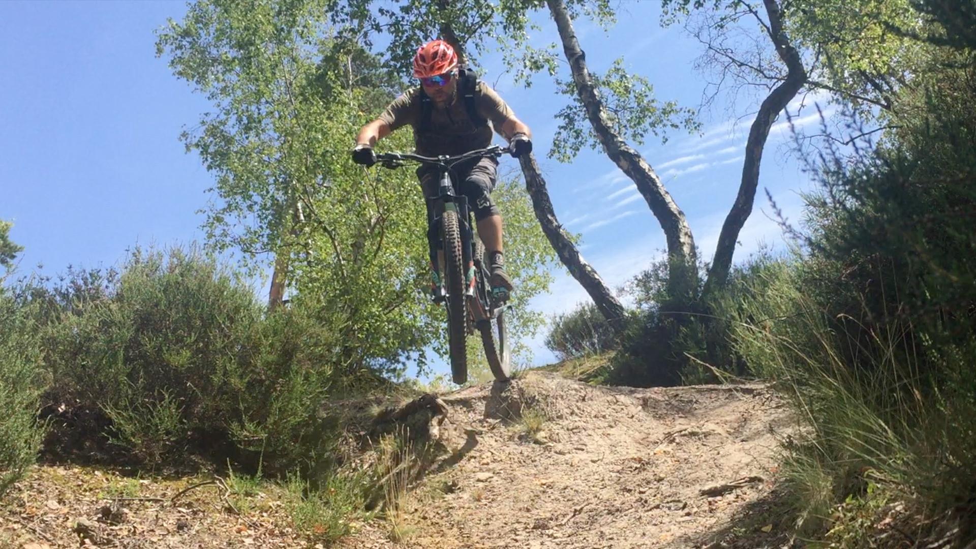

One of the best riding areas around Paris. The forest is beautiful and well maintained. It's got a bit of everything and one can store 1000m d rides thanks to decent hills with 100m elevation gains. Local riders have also built sections of trails with berms, jumps and a huge road gap which the Forest Authority (ONF) regularly destroys. Can be muddy after rainy days in the lower parts so best ridden in the dry.
| Thank