McKenzie Ranch Coordinates: 32.022620, -110.570059 Directions to TH: From Exit 281 (SR 83 South): At the top of the exit ramp, turn left over I-10, turn right onto Marsh Station Road. Pass the Gabe Zimmerman Trailhead (3 miles) and proceed to Red Hill Ranch Road (another 4.7 miles). There is a red painted rock at the turn. Turn left and head North across the railroad tracks (CAUTION!), bear left to stay on Red Hill Ranch Rd. after the cattle guard. TH is 1000ft up on right. It is a total of 1.7 miles from Marsh Station Rd. to the trailhead.
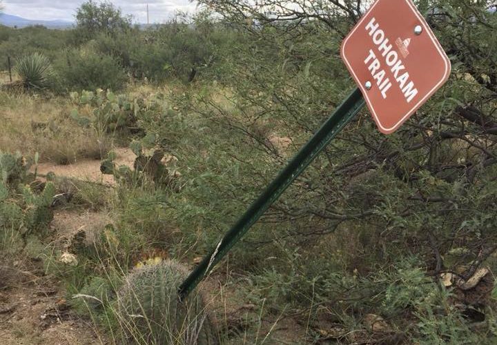
This is an amazing trail. Coming up from Sierra Vista I was pleasantly surprised. The trail has 3 main parts. The Hohokam section is a 3.2 mile out and back that connects the main competition course to the Agua Verde Road trailhead. The other 2 start at the main trailhead and are the 6 ish mile Lozen loop and the 3.5 mile Dahteste loop. The 2 loops can be combined for a longer ride. There are maps at all intersections and it is impossible to get lost. I did the Hohokam and Lozen loop for a 12.2 mile ride with 661 feet of elevation gain. The trail is smooth, fast and rolling. Will be back for sure. Trail are built and maintained by The Sonoran Desert Mountain Bicyclists. https://sonorandesertmountainbicyclists.wildapricot.org/
This trail is almost always climbing or descending the dry hills. Mostly creosote, some prickly pear, cholla, acacias and mesquite. Around 10 banked corners that add some fun.
There is also a singletrack that is trending but not yet completed to the Arizona Trail, more fun than the loop!


 9
9
This is an amazing trail. Coming up from Sierra Vista I was pleasantly surprised. The trail has 3 main parts. The Hohokam section is a 3.2 mile out and back that connects the main competition course to the Agua Verde Road trailhead. The other 2 start at the main trailhead and are the 6 ish mile Lozen loop and the 3.5 mile Dahteste loop. The 2 loops can be combined for a longer ride. There are maps at all intersections and it is impossible to get lost. I did the Hohokam and Lozen loop for a 12.2 mile ride with 661 feet of elevation gain. The trail is smooth, fast and rolling. Will be back for sure. Trail are built and maintained by The Sonoran Desert Mountain Bicyclists. https://sonorandesertmountainbicyclists.wildapricot.org/
| ThankThis trail is almost always climbing or descending the dry hills. Mostly creosote, some prickly pear, cholla, acacias and mesquite. Around 10 banked corners that add some fun.
| ThankThere is also a singletrack that is trending but not yet completed to the Arizona Trail, more fun than the loop!
Great track. This single track is not very rocky at all and the rolling hills and preformed banks make it a fun ride.
| Thank