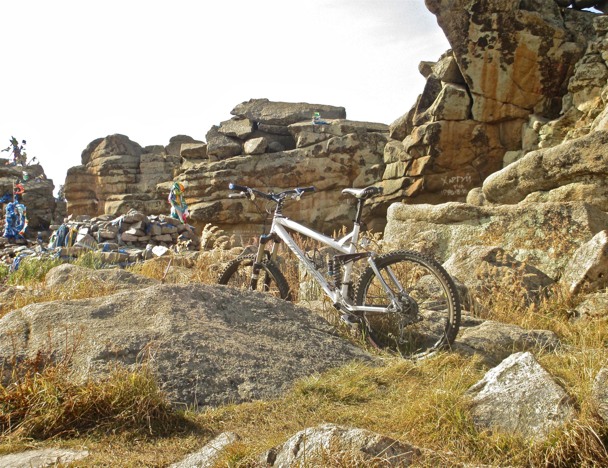
This is an out and back ride -- up as you go out and down as you come back. The turn around point is Tsetsee Gun sacred place, which is the highest point of Bogd Khan Mountain (just over 2255m or 7400ft).
The trail is very well marked with yellow blazes and distance markers on many trees. I like to think of the trail in three sections. The bottom section is about 2.3 km long. It is steep and difficult going up and VERY fast coming down with enough tech and rock to really keep you focused.
The middle section is 2.5 km. It is not as steep as the bottom but still has a some slope to it. It is a root and rock jungle -- gnar everywhere. It's a tough "go" on the way up, but if you have the skill set, a huge blast on the way down, bombing through rocks and roots EVERYWHERE.
Finally, the upper section is a little more than a km long. It is pretty much a rock fest to the top. It is much flatter than the other two sections, so quite a bit slower going on the return than the other two sections.
All in all, I would rate this trail an upper intermediate to advanced trail because of all the gnar and the climb up is a tough workout, both pedaling and pushing the bike. Then to make all that effort worth it, you have to have a good enough skill set to really capitalize on the return DH run. It is 1900' up and then back down. On a scale of 1-5, I'd give the ride a 4.5 to 5 rating. I absolutely love it.


Just to add a little historical data to the description of this trail, the Manjusri Monastery at the trailhead was initially constructed in 1733. It was destroyed some 200 years later in 1937 and most of the 300 monks and lamas killed. This occurred during the 1937-1939 Stalinist-Choibalsan purges in Mongolia. By 1939 it is estimated that 3-5% of the Mongolian population was killed by the Communists.
Later, one of the Communist leaders showed their true colors, stating "The people of Mongolia are not important; the land of Mongolia is important ..." Mongolia is the 18th largest country of the world. The ruins of this old monastery are a lasting memorial to the threat of those who seek their own selfish ends and do not value and respect human life and freedom -- even though they may say they do. It is a memorial for us to not be naive to the lies and schemes of those who want to divide a nation. I can't help but contemplate such things each time I pedal past these ruins.
| ThankI absolutely love this trail. It is a beast to get up. You have to really want the work out. On the return, the first two-thirds of the DH throws gnar at you everywhere. Then the final third is an all-out full-tilt assault of the mountain. But be on your guard (and finger on brake) because the mountain will still throw some very nasty gnar at you. If you are not fully focused, you will pay the price. All in all, a huge work out on the way up, and soooo much fun on the way back down. For being just 8 miles total (13 km) for the out and back, the trail feels amazingly epic.
| Thank