×

|
Rate it:
Tags:
Level: Intermediate
Length: 13 mi (20.9 km)
Surface: Singletrack
Configuration: One-way
Elevation: +544/ -1,380 ft
Total: 2 riders
Mountain Biking Lost Trail-twin Creeks Ridge
#131 of 335 mountain bike trails in Idaho
Except for the roads on the beginning and end of the ride, the route is singletrack. A shuttle is recommended for this ride. The Divide trail 106 has numerous short climbs and descents on its way south to the junction with Trail 109 which goes down a long steep ridge. This section of trail is a great downhill brake burner run. Watch out for the slick wooden waterbars. The ride is best ridden counterclockwise from north to south. The trail goes through an old burn (2003) so downfall may be numerous if not cleaned out recently.
First added by sidehiller1 on Jan 3, 2012. Last updated Apr 28, 2020. → add an update
Before you go
- Drinking water: unknown
- Lift service: unknown
- Night riding: unknown
- Pump track: unknown
- Restrooms: unknown
- Fat bike grooming: unknown
- E-bikes allowed: unknown
- Fee required: unknown
This trail information is user-generated. Help improve this information by suggesting a correction.
This is a shuttle ride on the west side of Highway 93 on the Montana/Idaho border. Park your shuttle vehicle on the Twin Creeks Road #449 near the Twin Creeks Campground approximately 8 miles south of Lost Trail Pass on Highway 93. Drive up to Lost Trail Pass and turn west onto the Lost Trail Ski area road. Proceed through the ski area on the east side of buildings and take the primitive gravel road up through the ski area to near the top of the mountain on the west side of the ski area. Start from the Saddle Mountain road on west side of Lost Trail Pass Ski Area and ride the road west to Divide Trail 106. Continue South on Divide Trail 106 to junction of Trail 109. Continue southeast down Trail 109 to the Twin Creeks Road 449. Follow Twin Creeks Road #449 down to Highway 93 and your shuttle vehicle.


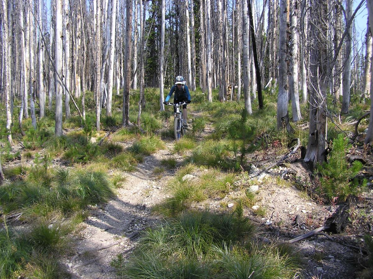

This is a great day trip trail in the Lost Trail Pass area. The downhill at the end is awsome. You ride south on the Idaho, Montana Divide and take the first left trail heading east down the ridge to Twin Creeks Campground. You can also ride farther south out the Divide trail and take the Twin Creeks trail down to Twin Creeks Campground. That is a more difficult trail with several creek crossings.
| Thank