×

|
Rate it:
Tags:
Level: Intermediate
Length: 20 mi (32.2 km)
Surface: Singletrack
Configuration: Network
Elevation: +641/ -337 ft
Total: 42 riders
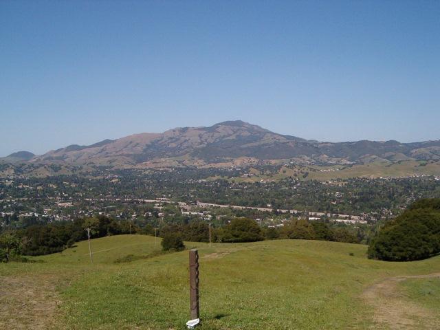
Mountain Biking Las Trampas Regional Wilderness
#138 of 1,015 mountain bike trails in California
map: http://www.ebparks.org/Assets/_Nav_Categories/Parks/Maps/Las Trampas map.pdf
lots of singletrack not on the map. all trails east of bollinger are pretty technical singletrack. watch out for rangers towards bollinger side
First added by pyros46290 on Mar 15, 2008. Last updated May 1, 2020. → add an update
Before you go
- Drinking water: unknown
- Lift service: unknown
- Night riding: unknown
- Pump track: unknown
- Restrooms: unknown
- Fat bike grooming: unknown
- E-bikes allowed: unknown
- Fee required: unknown
This trail information is user-generated. Help improve this information by suggesting a correction.
north side is alamo. go up las trampas road to the very end at trailhead. have to bike up as the top half is gated community
System trails (1)


Pretty easy for my first ride.
| Thankvery fun and close to home. I would like to know where the hidden bike trail is located.
| ThankThis trail is amazing and offers plenty for everyone. Some steep climbs and descents. very beautiful ridge riding from both loops. There are some sweet swithbacks on the back side of the Bollinger Canyon Loop Trail. Just watch out for cattle. They can get angry at times.
| Thankon this side the trails are mostly firetrails. follow the map and you can connect to the singletracks on the east side of the ridge.
map: http://www.ebparks.org/files/EBRPD_files/brochure/las_trampas_map.pdf
some singletrack is hidden on bollinger side, but you really have to know what you are looking for
| Thank