×

|
Rate it:
Tags:
Level: Intermediate
Length: 11 mi (17.7 km)
Surface: Singletrack
Configuration: Loop
Elevation: +544/ -681 ft
Total: 83 riders
Mountain Biking Ken Caryl Valley
#326 of 1,429 mountain bike trails in Colorado
Single Track linked togather with a couple short road segments
First added by on Aug 13, 2010. Last updated Apr 28, 2020. → add an update
Before you go
- Drinking water: unknown
- Lift service: unknown
- Night riding: unknown
- Pump track: unknown
- Restrooms: unknown
- Fat bike grooming: unknown
- E-bikes allowed: unknown
- Fee required: unknown
This trail information is user-generated. Help improve this information by suggesting a correction.
West of Denver in the foothills near the Ken Caryl Valley Housing area. Drive west of Denver on C470. Exit on Ken Caryl Drive and drive into the valley. Park just west of the first stoplight and start on the trail head for Kathy Johnson trail.

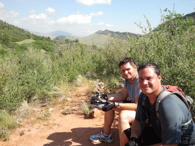

The many trails here make for many variations of rides available in the Valley. Last night we did a Valley Loop. We started up Massey trail with is .3 miles up to the base of the west foothill. Then we headed north along Colorow which is a winding double to single track cruise through the prairie grass--be sure to look up through the Dutch Creek notch for a great view of downtown Denver. After 1.5 miles Colorow cuts east another .5 then we cut north again on Stove Prairie Trail to hook up with the Bradford Trail bearing east, then north along the KC/Manor Ridge border. The brad for Trail curves east through some great Red Rock formations, and Red Rocks is in clear view up the valley. Bear right on Lark Bunting Loop and prepare for three very technical rocky sections before spilling out into the east prairie for some more winding downhill single track. Just before the loop heads back north, stay southward and you can either take the Hogback trail through the valley or the Lyons Trail up and along the top of the hogback. If you choose the later, be sure to bale down either the Kiln Trail or stick to the Lyons Trail--the Ridge trail is some of the most technical riding in the valley and best left to the hikers. Either way you end up with a screaming mile along Hogback trail to the stop light. To complete the Valley Loop, cross the road and head south on Cathy Johnson, then west along Deer Creek road to South Valley Park and head back north through more spectacular rock formations. You half-expect to see Dinosaurs grazing in the prairie below.
This loop is a great ride, with climbs to get the blood pumping and cruising descents to keep you smiling. Adrenaline junkies might be bored, but for the rest of us it makes for a gorgeous blast of a ride.
| ThankGot to test out this trail system with a resident, and we rode some fantastic trails that climbed high up to the tops of the hills and bombed back down to the valley below. While maybe some of the other trails in this trail system are less than desirable, the ones I had the pleasure to sample were pretty fantastic!
| ThankPrivate trail system, but you're not missing much. There are a couple of Ken Caryl-maintained trails open to the public which run parallel to South Valley Park which provide an additional loop opportunity there.
| ThankThis is a private trail system, patrolled by Ken Caryl Rangers and volunteers. Residents are issued bands that must be worn and the trail system is maintained with HOA funding. Best bet is to make friends with someone there and ride as a guest.
| ThankThis is a private trail that you must have a pass or proof that you live in Ken Caryl.
| ThankThis is a great after work trail. You park up by the manor house and take the manor house trail towards the foothills to the signs ahead. There is a little bit of a climb but after that its mostly smooth sailing after that. Nothing to crazy.
| Thank