Network of trails across a mountain side traversing around small lakes , pits and forests. Some single track exists but it is over grown and fading away. Majority of trails are made by atvs with some driveways included .
Numerous atv trails to follow while hiking single track is quite faded .
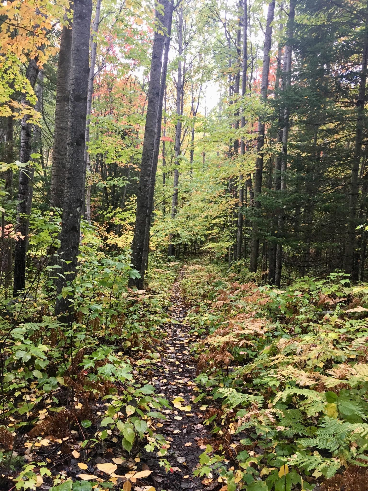
Wet and muddy from recent rain , long push up broken shield to roll down the other side .


Numerous atv trails to follow while hiking single track is quite faded .
| ThankWet and muddy from recent rain , long push up broken shield to roll down the other side .