×

|
Rate it:
Tags:
Level: Intermediate
Length: 16 mi (25.7 km)
Surface: Singletrack
Configuration: Network
Elevation: -
Total: 2 riders
Mountain Biking Hubbard Mesa
#733 of 1,429 mountain bike trails in Colorado
This is an OHV area and there's lots of doubletrack and doublewide singletrack, but sprinkled in is a good deal of genuine singletrack. Trails are mostly nontechnical, but there are technical moves to be had. There's not much in the way of markings and its easy to get lost without a good map app, but the area is pretty compact with plenty of long distance views, so it's hard to get really lost.
First added by John Fisch on May 9, 2019. Last updated May 1, 2020. → add an update
Before you go
- Drinking water: unknown
- Lift service: unknown
- Night riding: unknown
- Pump track: unknown
- Restrooms: unknown
- Fat bike grooming: unknown
- E-bikes allowed: unknown
- Fee required: unknown
This trail information is user-generated. Help improve this information by suggesting a correction.
From Hwy 13/Rifle Bypass, turn north on County Road 244, go about two and a half miles and look for a any of a few pullouts.


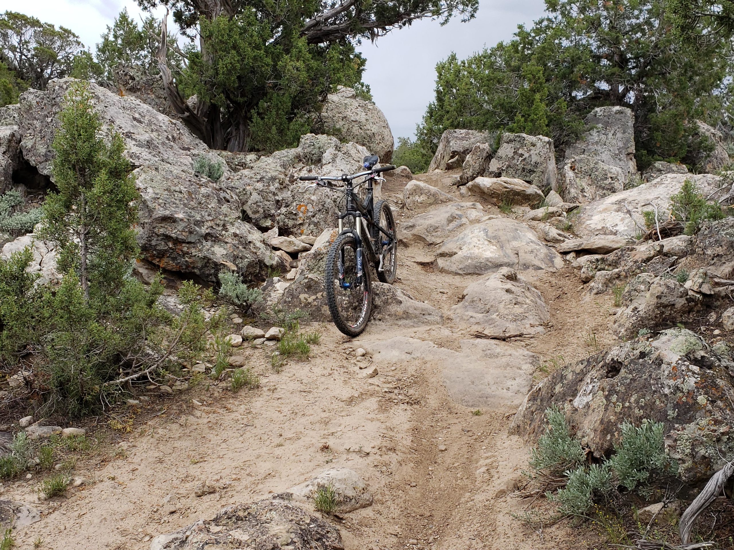

While it's easy to get confused with all the ATV tracks, if you can follow the singletrack, this is a pretty good ride. The singletrack is moto legal, so there's some real ruts and super tough grooves in rock gardens, but most of these trails are fast and flowy and the fast and furious payoffs are well worth the effort. There are some great moto berms and some very cool rock gardens and the scenery in the pinions is very good.
| Thank