These trails on Conservation land are set in scrub, regenerating forest and pine plantation. You're always under cover. They are all intermediate, grade three trails, due mainly to fairly regular steep pinches rather than technicality. Sometimes you'll be following old logging roads but mostly you're on singletrack that meanders through the trees. You won't find swooping bermed corners, rollers, humps or jumps and other fun stuff but you will find some very nice old-school style singletrack. You'll hit the odd greasy patch after rain. *****
There is a good map board of the trails at the trailhead in the Hotoritori camp site and there's another one in a clearing about half way through the trails. All in all it's a very visitor friendly little network of trails with lots of signs so you won't get lost. You'll be able to ride all the trails in a couple of hours and it will be a good workout. There are toilets at the camp site. ****
By the way, you're in the Kauaeranga Valley of the Coromandel Forest Park, rich in heritage, rugged landscape and native forest. The main attraction of the of the valley is the hike up to the Pinnacles with a stay in the spacious Pinnacles Hut.


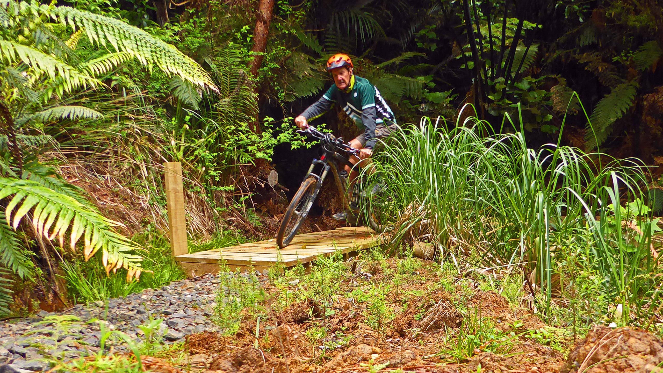

The Coromandel Forest Park is famous for it's rugged landscape but these trails are in the Kauaeranga Valley and although they undulate, and quite steeply in places, they are on relatively mellow terrain. They will give you a good workout and you'll enjoy meandering through the forest but you won't find the fun technical features found in modern bike parks. These are simply good old-school trails.
| Thank