×

|
Rate it:
Tags:
Level:
Length: 20 mi (32.2 km)
Surface: Singletrack
Configuration: Loop
Elevation: +239/ -210 ft
Total: 9 riders
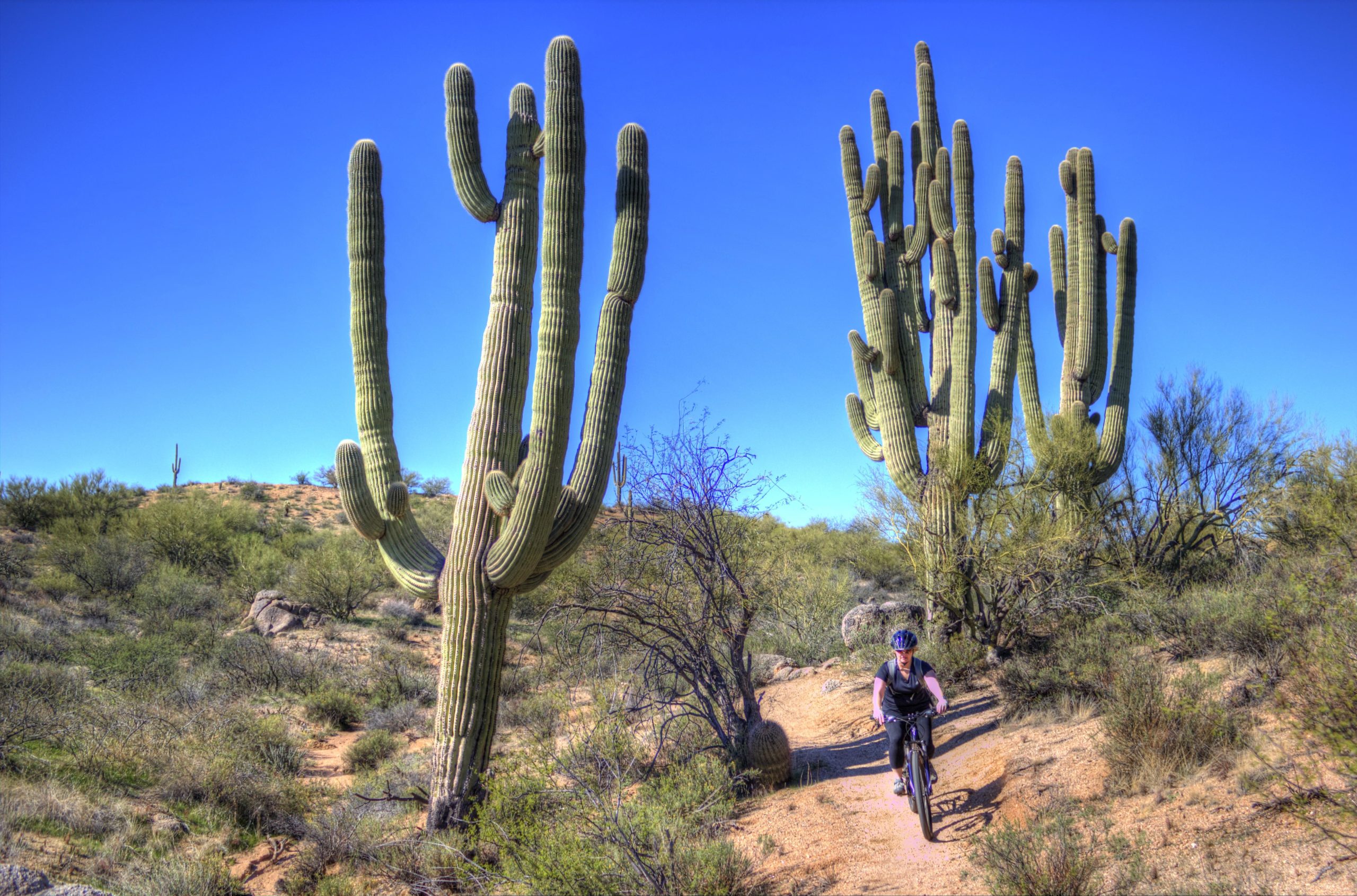
Mountain Biking Hawksnest Stagecoach Loop
#293 of 436 mountain bike trails in Arizona
This is an easy loop, with moderate climbs and fantastic downhill tracks. The trail is well-maintained and for the most part sparsely populated.
First added by Ted Malone on Mar 30, 2016. Last updated Apr 23, 2020. → add an update
Before you go
- Drinking water: unknown
- Lift service: unknown
- Night riding: unknown
- Pump track: unknown
- Restrooms: unknown
- Fat bike grooming: unknown
- E-bikes allowed: unknown
- Fee required: unknown
This trail information is user-generated. Help improve this information by suggesting a correction.
From the Granite Mountain Trailhead, head north on 136th express to Hawksnest, then west to Stagecoach, then south to Cholla Mountain, then south to Watershed which becomes Whiskey Bottle. Finish by riding the 136th Express back to Granite Mountain Trailhead.