×

|
Rate it:
Tags:
Level: Easiest
Length: 4 mi (6.4 km)
Surface: Fire Road
Configuration: Loop
Elevation: +120/ -112 ft
Total: 3 riders
Mountain Biking Gunpowder to Hemlock
#75 of 100 mountain bike trails in Maryland
Fire road with some rocky areas, a few steep climb sand some roots.
First added by Called2RideMTB on Mar 27, 2019. Last updated Apr 17, 2020. → add an update
Before you go
- Drinking water: unknown
- Lift service: unknown
- Night riding: unknown
- Pump track: unknown
- Restrooms: unknown
- Fat bike grooming: unknown
- E-bikes allowed: unknown
- Fee required: unknown
This trail information is user-generated. Help improve this information by suggesting a correction.
The trailhead is on Gunpowder Road. 25 miles after you turn off of Hoffmanville Road and before the bridge. Parking is on the right shoulder of the road. .


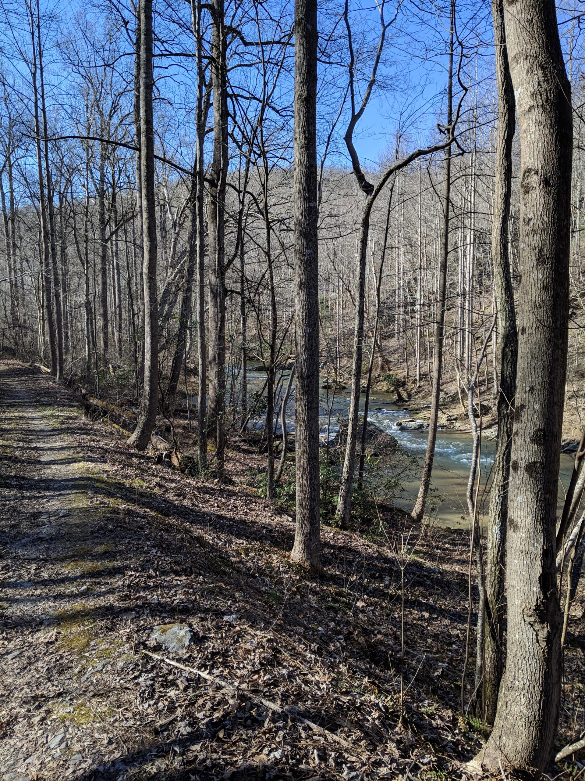

Still some wet spots and damage from fallen trees. Some loose rocky areas as well. Overall it was a decent ride
| Thank