mostly logging roads, can be ridden rigid. Climb to the top of mohawk mountain and back down. Lots more to be explored, this is a good 15 miles and 1.5 hours of riding.
1) at the dead end first road before the dead end circle you'll find the trail.
2) take your immediate right
3) take lefts when possible to get to eli bunker road.
4) take a left on eli bunker and your first right when you see a trail opening (about a quarter mile)
5) follow this trail all the way down to the bottom then veering right when in doubt.
6) at the bottom at the drive take a left and CLIMB!
7) take another right past the gate
8) this trail will sideline a driveway at the end, go down it and take another right, over the bridge and then take a right past the bridge.
9) follow the logging road along the river for about a 5 minutes or so.
10) at the fork, stay to the left
11) top of climb take a right, climb to the top and stay right of the park buildings and straight across to the xcountry trails
12) climb up the hill for a short singletrack section, stay left at the T.
13) this will bring you out to the main road. (take a right down the hill to get water at the well which will be on your left)
14) take a left on the main road and look for the 2nd trail entrance that does not say "foot traffic only)
15) this will bring you up to the top of the ski mountain. ride up by the lifts but stay left. (don't ride down the mountain, or do, I haven't yet)
16) trail will be up on your left, go down the hill and take your first left back to the main road.
17) climb up the mountain on the road to the top (there is a technical way down from behind the towers up there but I haven't mapped it well yet)
18) ride back down the dirt road and head back down.
19) on the right keep an eye out for picnic tables, there is a small trail opening on the right, take that
20) take a right at the end and follow any path back down to Wadhams road. from there you can ride back to eli bunker direct or back down the way you came up.
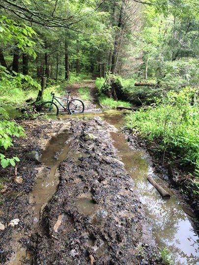
Hope we can find more trails in here. Looks promising. Not a much singletrack but very rideable and a good workout.
Strava
Not the exact route described but will get you there route:http://www.strava.com/activities/144989849

good to get a workout in and safe, not much singletrack at all
| Thank