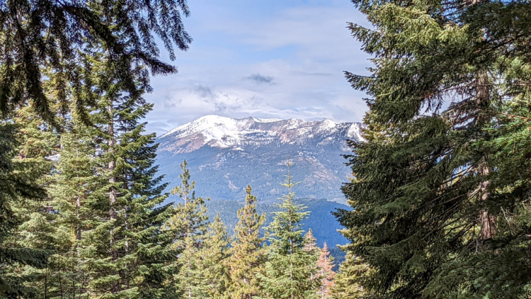
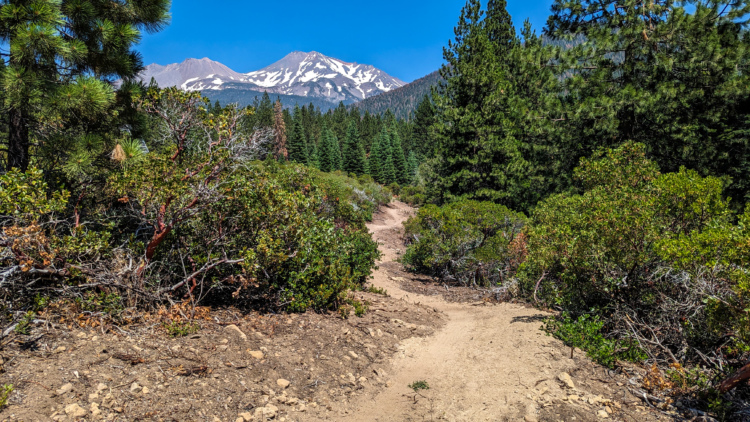
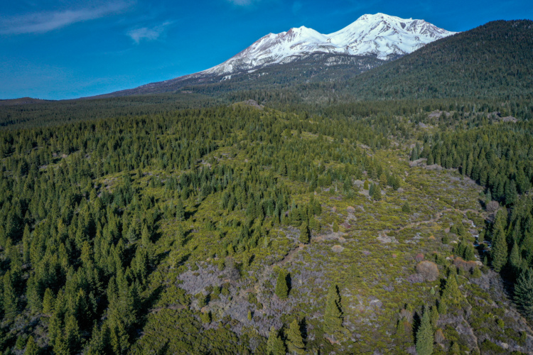
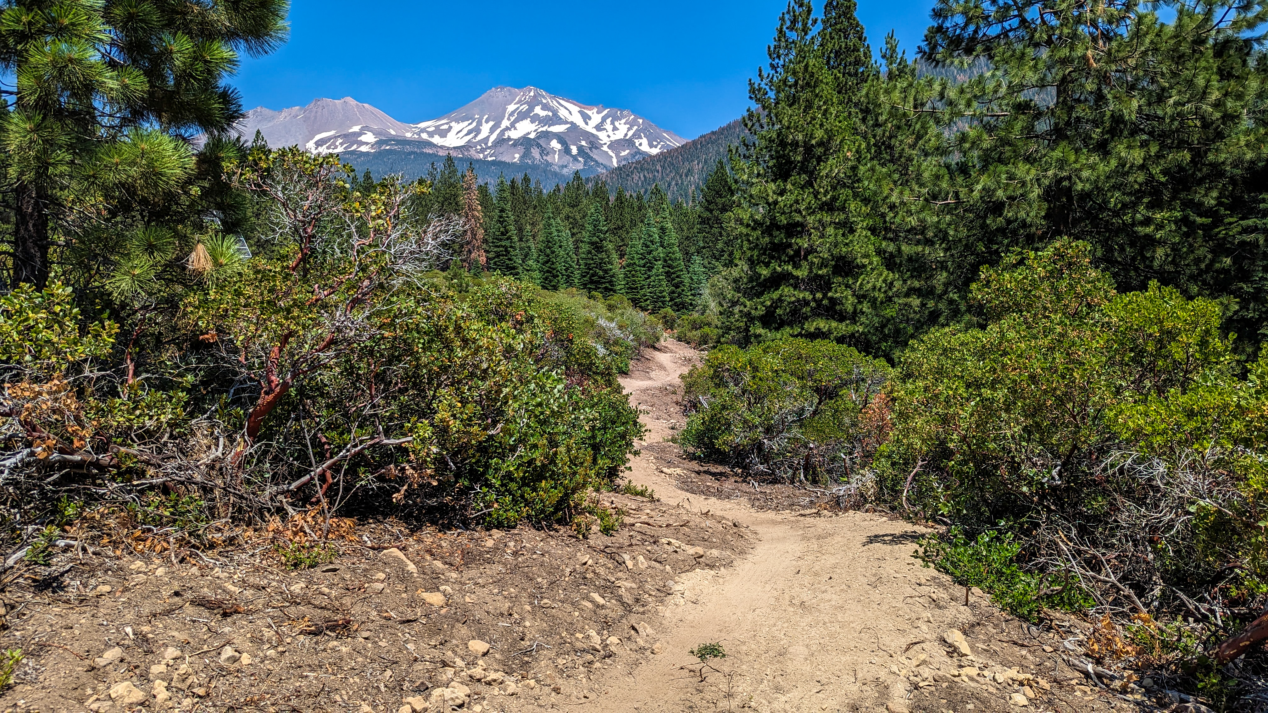
Located in the Shasta-Trinity National Forest just outside Mount Shasta, California, the Gateway Trails offer 57 miles of multi-use singletrack with spectacular views of the iconic volcanic peak. Positioned approximately four hours from the Bay Area, three hours from Sacramento, and five hours from Portland, Mount Shasta is the perfect getaway riding destination for residents of Northern California and Oregon. The trail system is divided into three distinct zones: The Learning Zone features gentle, rolling terrain with scenic views ideal for families and those new to trail-based recreation; the Community Zone sits close to town with highly accessible trails offering great access to a wide variety of experiences; and the Big Mountain Zone is geared toward mountain biking as the preferred use.
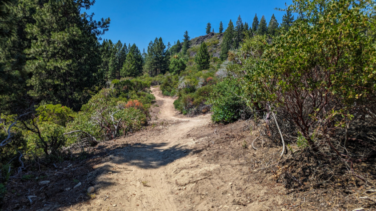
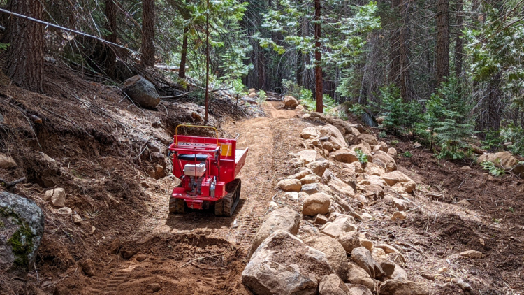
The unique volcanic topography presents both stunning riding opportunities and significant challenges. Because Mount Shasta is a volcano, the area is primarily composed of loose, sandy volcanic ash that's very fragile and falls apart easily. You'll get dirty riding it and get dusted out when following another rider. To combat the mechanical erosion from heavy braking that threatens these volcanic soils, the trails feature grades kept in the 5-7% range, supportive corners that zero out user speed, sections that reward pedaling and good line choice, and fun rock elements that slow down riders. The trail builder focused on creating sustainable, fun trails despite working with some of the most difficult soils for trail construction.
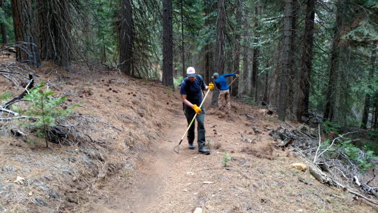
Currently, all trails but two in the Gateway system are multi-use, and U.S. Forest Service regulations prohibit e-bikes on any of the trails. The Mount Shasta Trail Association appeals to riders not to skid on the trails and encourages riding other trail systems during the dry summer months to help preserve the fragile volcanic soil. Any new trails remain closed until they've gone through a full winter season to help firm up the trail surface. With 35 of the planned 46 additional miles already complete, the Gateway Trails are establishing Mount Shasta as another great riding destination in Northern California's growing reputation as a West Coast mountain biking mecca.


 2
2
A lot has changed since the info on this site was posted. The most up-to-date info on which trails are completed can be found here..... https://mountshastatrailassociation.org/trails/mt-shasta/gateway/ Even this is usually a few months behind. If you are mountain bike traveler from outside the area, plan on spending a couple days here. The two main access points from the top are Ten Gallon trailhead and the Nordic Center. If you want to shuttle, Shasta Gravity has shuttles or if doing your own, park a car at the Gateway Trailhead on Everitt or at Shastice Park. Then drive up to the Nordic Center via Old McCloud Rd or 89 to the Skipark Highway. If going to Ten Gallon drive up Everitt Highway to the dirt road turnoff to Ten Gallon. Parking at both areas.
The riding is mostly beginner and intermediate flow trails in a forest canopy with few rocks. This is fun stuff for the average rider. There is not a lot for those looking for black trails - Magma is currently closed for FS defined alterations. You can ride Steam Donkey from the Ten Gallon dirt road at the Bear Springs/Ten Gallon Dirt Rd/Steam Donkey intersection.
It is easy to do a 20 mile ride with all downhill on singletrack by starting at Shastice Park or Gateway Trailhead and using various dirt roads head up Bear Springs to Old McCloud Rd and then to the Nordic Center. Come back down Huckleberry to Supernatural to Bear Springs trail. Head up Bear Springs to the Ten Gallon trailhead and descend to Strawberry using Muirs Ascension and then take the Gateway back to Foundation Trail. Foundation to My Trail and the Tunnel trail and then back to the parking lot. This gets about 2/3 of the trails. The next day figure out the rest of the trail system. ridewithgps is fairly up-to-date to map a ride. Good luck!
| Thank