×

|
Rate it:
Tags:
Level: Easiest
Length: 20 mi (32.2 km)
Surface: Other
Configuration: Out & Back
Elevation: +454/ -456 ft
Total: 23 riders
Mountain Biking Franconia Recreational Trail
#35 of 114 mountain bike trails in New Hampshire
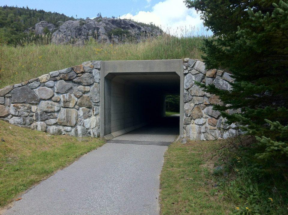
The Franconia Notch State Park Recreational Trail is a paved trail that parallels Franconia Notch State Parkway, and the scenic pemigewasset brook. The 20 mile round trip brings riders within easy reach of park
Attractions including the Flume Gorge, the Old Man of the Mountain Profile, Profile Lake, Boise Rock, the Basin, Cannon Mountain Aerial Tramway and Echo Lake. There's no fee for the use of the bike path. The Path Starts at the Flume parking lot, and ends just north of Cannon Mountain.
First added by mat5182 on May 9, 2013. Last updated May 10, 2020. → add an update
Before you go
- Drinking water: unknown
- Lift service: unknown
- Night riding: unknown
- Pump track: unknown
- Restrooms: unknown
- Fat bike grooming: unknown
- E-bikes allowed: unknown
- Fee required: unknown
This trail information is user-generated. Help improve this information by suggesting a correction.
9 Franconia Notch Pkwy, Franconia, NH


This is a great family bike path. I would not consider this for a "mountain bike path". It can get busy and there are often families, children on bikes, and walkers/runners. It is not meant for fast riding.
With that in mind - it is a fantastic trail to cruise on and has beautiful views
| ThankThis is a truly fun trail for families or cruising. I would not recommend hot-dogging on this trail because it is likely hikers or families with possible young children biking could be around each corner. I believe this is open for cross-county skiing in the winter.
| ThankPaved recreation path that follows the Franconia State park thru-way. No technical challenge whatsoever, however does provide some aerobic challenges with over a 1100 feet of vertical elevation traveling south to north over 6.5 mile stretch. Fun family ride with many scenic stops along the way. Lots of traffic in the form of bikers & hikers...Fun descent, but you really need to check speed in congested areas.
| Thank