×

|
Rate it:
Tags:
Level: Advanced
Length: 15 mi (24.1 km)
Surface: Singletrack
Configuration: One-way
Elevation: +878/ -855 ft
Total: 48 riders
Mountain Biking Donner Lake Rim Trail
#111 of 1,015 mountain bike trails in California
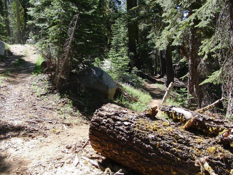
This trail is being built by the Truckee Donner Land Trust with volunteer labor. When complete, the Donner Lake Rim Trail will offer trail users a 23 mile loop through the high country surrounding Donner Lake! Currently 15 miles are complete, with 9 of them open to bicycle use. Drop a car at the Soda Springs Trail head for the Hole in the Ground Trail, and begin the Donner Lake Rim Trail from the Glacier Way Trail head in Tahoe Donner. At Castle Valley Road, turn right, and proceed up this road to the junction with the Hole in the Ground Trail. This ride is almost 20 miles (one way) of technical single-track bliss!
First added by Sierradirtslayer on Nov 16, 2010. Last updated Apr 28, 2020. → add an update
Before you go
- Drinking water: unknown
- Lift service: unknown
- Night riding: yes
- Pump track: unknown
- Restrooms: unknown
- Fat bike grooming: unknown
- E-bikes allowed: unknown
- Fee required: unknown
This trail information is user-generated. Help improve this information by suggesting a correction.
Directions to Trailhead: There are currently three:
1. From Downtown proceed west on Donner Pass Road. Turn right on Northwoods Boulevard and proceed straight ahead through the red flashing light at the top of the hill. After a couple of miles, turn right on Fjord, and then left on Alder Creek Road. Take the next left, which is Skislope drive, and head up the hill. Turn right onto Glacier Way, and then make an immediate left into the Tahoe Donner Trailhead parking lot.
2. The Donner Lake Rim Trail can be accessed at Donner Summit: Hikers and equestrians can use the Pacific Crest Trail, and mountain bikers can access the trail via Castle Valley Road.
3. Negro Canyon: From Truckee, proceed west on interstate 80 for about 4 miles, to the Donner Lake Interchange. Proceed down the off ramp, and make a right turn onto a dirt road. The parking lot is on the right, marked with a trail head kiosk.


Nice uphill and then back downhill ride. I parked at the trout creek trailhead and rode up from there.
| ThankI really like this trail. Doing this then "Hole in the Ground" and back is one of the best loops in the area. Can't wait for the whole thing to be done
| ThankReally fun ride. Mix of some technical rocks with expansive views and fast flights through old growth woods. Good intermediate difficulty. Trail stats listed are potentially confusing, as the trail is about 7.5 miles of mostly downhill, then you'd have to climb all the way back out from Donner Lake to make it 15 as listed. Best to park at Donner Lake and get a ride/shuttle to the trailhead so you can ride back to your car. Climb would be pretty brutal, and in some spots you'd for sure have to walk your bike. Great ride if you plan it right!
| ThankNot sure why there aren't more reviews, and currently half the reviews don't sound like they even actually rode the full trail or even the top section.
Rode it for the first time yesterday and man, what an epic ride. Starting from castle valley it isn't much of a climb to the top, then several miles of mixed flowing single track wth rock gardens varying from short and / or easy to long and / or extremely technical. Anyone who rides all the rock sections totally dab-free is impressive In my book. After the mostly flat /up and down of the rock garden ridge section, you get to summit lake which is awesome and then there's a nice long stretch of double track downhill that can be completely railed. After that, the tight single track descent to below Tahoe donner is some seriously epic and thrilling downhill, flows very well but has a couple tight turns you need to watch out for if its your first ride. Really a fantastic trail, covers all different styles of riding. If you are a big fan of Hole in the Ground, then you'll definitely love the DLRT.
| ThankWas here 9/20/2015 and it was so smokey from the King fire in Pollock Pines that we were unable to ride. Hopefully within a week or two the air conditions will improve!
| ThankWas dropped Off Donner lake interchange - trailhead is right there..Loose over hard with incline from 6000 to 7200ft.. Hiked most of the incline due to the loose pack and rocks. Rode the rim and bombed down the backside to Tenton Way Trailhead which was fast with lots of hard tail airtime. Ended up on Northwoods Rd from there rode to the Northwoods Club House about a mile from the vacation home. About 7 miles in 1.2 hrs. Slow at first - fast at the end!
| Thankvery well built start from trailhead near I80. not too dry and very smooth turns/ berms. must ride if you are driving by, i repeat must ride if you are driving by, right off the freeway
| ThankFun trail, starting from Tahoe Donner there's a small climb then a long downhill section with some hairy switchbacks-Beware they come up quick!! A few different types of terrain. Closer to Hole in the Ground you will find very similar rocky terrain with some good built trail. Some cool rolls up and over with trail pieced together with stones.
| Thank