×

|
Rate it:
Tags:
Level: Easiest
Length: 7 mi (11.3 km)
Surface: Fire Road
Configuration: Out & Back
Elevation: +589/ -400 ft
Total: 16 riders
Mountain Biking Cross Marin Trail To Kent Lake
#549 of 1,008 mountain bike trails in California
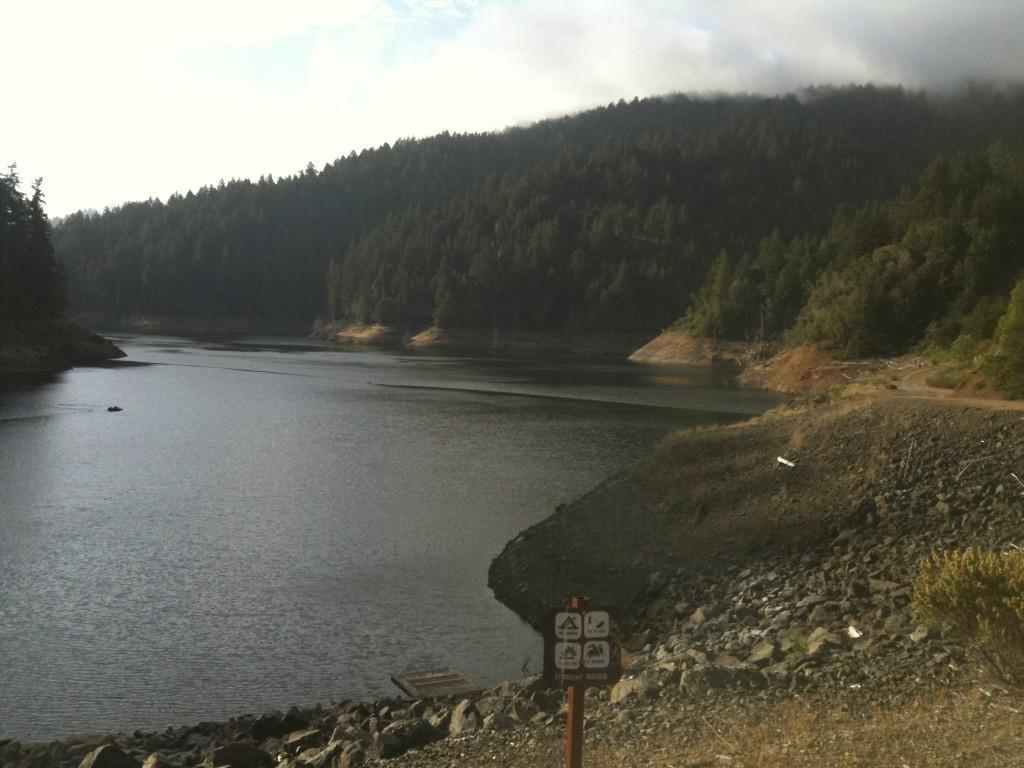
Level out-and-back trail. Starts paved at the trailhead and becomes a fire road past the park. When you reach Kent Lake you can turn loop back, or you can head left around the lake (which takes you all the way to Fairfax). When the lake is low you can head right and follow the trail all the way up to Bolinas Ridge.
First added by spach on May 7, 2010. Last updated May 2, 2020. → add an update
Before you go
- Drinking water: unknown
- Lift service: unknown
- Night riding: unknown
- Pump track: unknown
- Restrooms: unknown
- Fat bike grooming: unknown
- E-bikes allowed: unknown
- Fee required: unknown
This trail information is user-generated. Help improve this information by suggesting a correction.
From Hwy 101 in Marin, exit Sir Francis Drake Blvd. and travel twenty miles west towards Point Reyes. Continue a couple of miles past Samuel P. Taylor State Park entrance; turn right at Platform Bridge Rd. and park in the pullout on the west side of the road. Look for the paved path leading from the pullout.


This is a really nice little secluded ride to do if you have bike newbs or kids with you. Shaded trail is MUCH cooler than sunny areas so bring a jacket if you tend to get cold. Surprisingly well maintained pavement trail passes by a campground with bathrooms.
| ThankThis trail is a good ride for you and the kids
| Thank