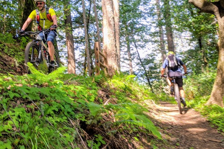
Level:
Length: 4 mi (6.4 km)
Surface: Singletrack
Configuration: Connector
Elevation: -
Total: 2 riders
 

Mountain Biking Bills' Trail

  Add a review
#560 of 1,005 mountain bike trails in California
#7,111 in the world

Opened to bicycles April, 2020. Connects the horse stables along Lagunitas Creek to Barnabe Peak fire road near the peak.

First added by Jeff Barber on May 17, 2020. Last updated May 17, 2020. → add an update
Before you go
  • Drinking water: unknown
  • Lift service: unknown
  • Night riding: unknown
  • Pump track: unknown
  • Restrooms: unknown
  • Fat bike grooming: unknown
  • E-bikes allowed: unknown
  • Fee required: unknown
This trail information is user-generated. Help improve this information by suggesting a correction.
Getting there
Drops off Barnabe Peak fire road, near the peak and connects down to Lagunitas Creek.
Featured in


Bills' Trail Trail map

Add to or improve this map // Share this map on your website

Local Info

Club Sponsor

-

Trail checkins

Shredbergotti (on Nov 12, 2023)
What's this?

Upcoming Events

None.
Add one

Trail conditions

(on Apr 25, 2024)
login to update

Camping & Lodging

Coming soon!

Bills' Trail videos

Add a video
We don't have any videos of this trail yet. Add one here.

Mountain Bike Trails Near Lagunitas, California

| 10 mi
***
Easiest | 7 mi
****
Intermediate | 23 mi
****
Beginner | 1 mi

Add a review

Rating
 
Difficulty
 
Review

Reviews

    Loading reviews...

Rider questions