There is actually a lot of singletrack, doubletrack, atv trail, and forest service roads zigzagging this area. It's easy to get confused as not all the roads and trails are on the map, so know how to determine your location without clear visibility of roads and trails. A good lollipop route is as follows: Follow the singletrack until it hits an atv trail-go right over a hill and down the other side. You will approach the continuation of Co Rd 659 from the west through a large meadow. Go back down 659 until you're next to the trees on your right and look for a small singletrack to your left (heading east). It should be signed as trail 747. Follow the trail through the marsh (crossing Beaver Creek) and head north on the other side of the marsh until you hit a doubletrack road. Go right on the road which will dead end and look for the singletrack beyond the dead end. This will take you into another drainage where you will follow 747 up to another road heading north. Look for a fork marked 669.2b sign that says "to 748" and follow it to the right. The Trails illustrated map shows this as singletrack but it remains doubletrack for a couple miles. Be on the lookout for a narrow singletrack to the right signed as trail 748. Follow trai 748 down to Crooked Creek road (not marked, bu you'll know when you hit the doubletrack). Go right on the road and follow it back to the "stem" of your lollipop route.


Fun ride with lots of wildlife for the viewing.
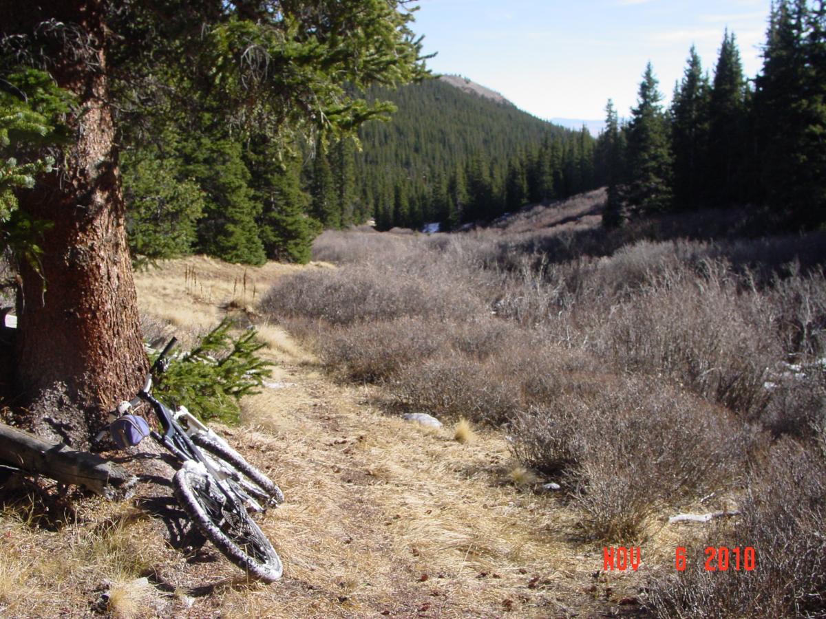
| ThankThis trail is only for those who are confident in their route finding skills. False routes abound and, if you make a wrong turn on the way out, it'll be a long and circuitous route back to the car. Be ready to explore and make a wrong turn or two. The directions above are confusing, but that's how the area is--you're just as likely to find other equally good routes. The singletrack here is of variable quality; some is just a 6"x6" rut, some is annoyingly sandy, and some is pure sweet MTB nirvana. The descent alongside Crooked Creek on trail 748 is particularly nice with a couple creek crossings some nice flow, a little exposure and a nice long continuous downhill on a moderate grade. The entire 14 miles lies between 10,300 and 11,300 feet, but you will gain and lose that altitude a few times, so expect to expend some energy. This is also extremely unpopulated country; other than during hunting season, you're not likely to see anybody here. The required amount of doubletrack and route finding challenges lower my rating on what would otherwise be a top ride. As it is, there are better rides in the area and this one should be saved for those times you've already exhausted everything else and want to try something new or when you want a near guarantee of having the trail to yourself.
| Thank