×

|
Rate it:
Tags:
Level: Advanced
Length: 4 mi (6.4 km)
Surface: Singletrack
Configuration: Out & Back
Elevation: +701/ -688 ft
Total: 5 riders
Mountain Biking Cooks Meadow Trail/ #639
#150 of 321 mountain bike trails in Oregon
Climbing begins immediately and doesn't stop until the almost the top of the ride. Thankfully not technical but a total grind. Of course, the return trip is a blast though you have to watch your speed as the trail is quite narrow and not a berm along the way.
First added by Hap Proctor on Jul 25, 2017. Last updated Jul 30, 2020. → add an update
Before you go
- Drinking water: unknown
- Lift service: unknown
- Night riding: unknown
- Pump track: unknown
- Restrooms: unknown
- Fat bike grooming: unknown
- E-bikes allowed: unknown
- Fee required: unknown
This trail information is user-generated. Help improve this information by suggesting a correction.
Take Road 44 off of Highway 35; travel approximately 3 miles to Surveyors Ridge/Dog River trail shared TH (look or sign). Ride the first 1.5 beautiful miles of the Surveyors Ridge trail. Cooks Meadow trail begins just before the first wooden bridge. Look for sign on the right.


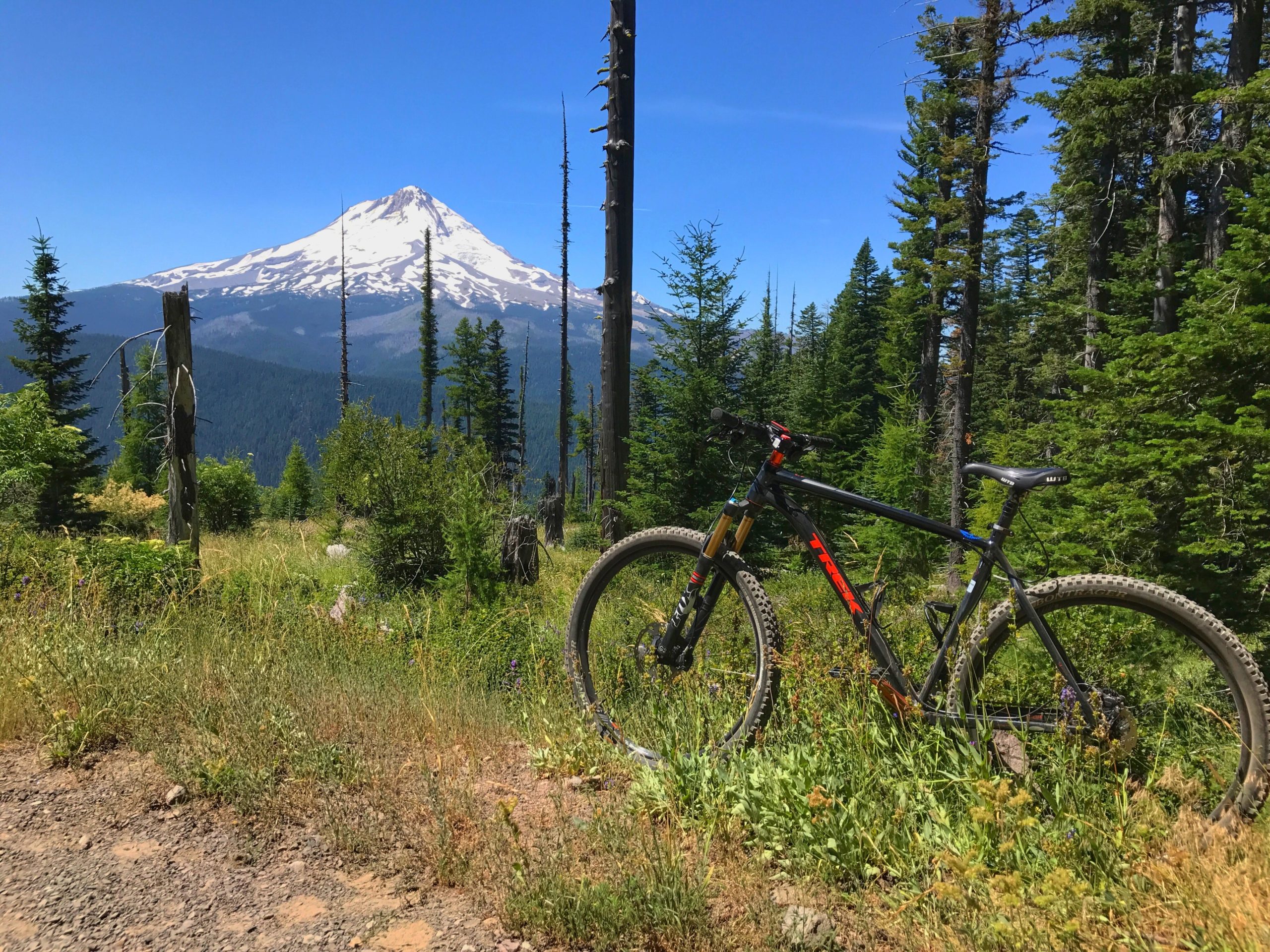

Narrow trail that gains over 1400' elevation in less than 4 miles. Trail has a wilderness feel as none of the switchbacks are bermed and the vegetation can get up close and personal. Probably not the best trail to blast DH on the return trip. Ride can become a loop by using FS road 4410 (gravel) just off the Surveyors Ridge TH.
| Thank