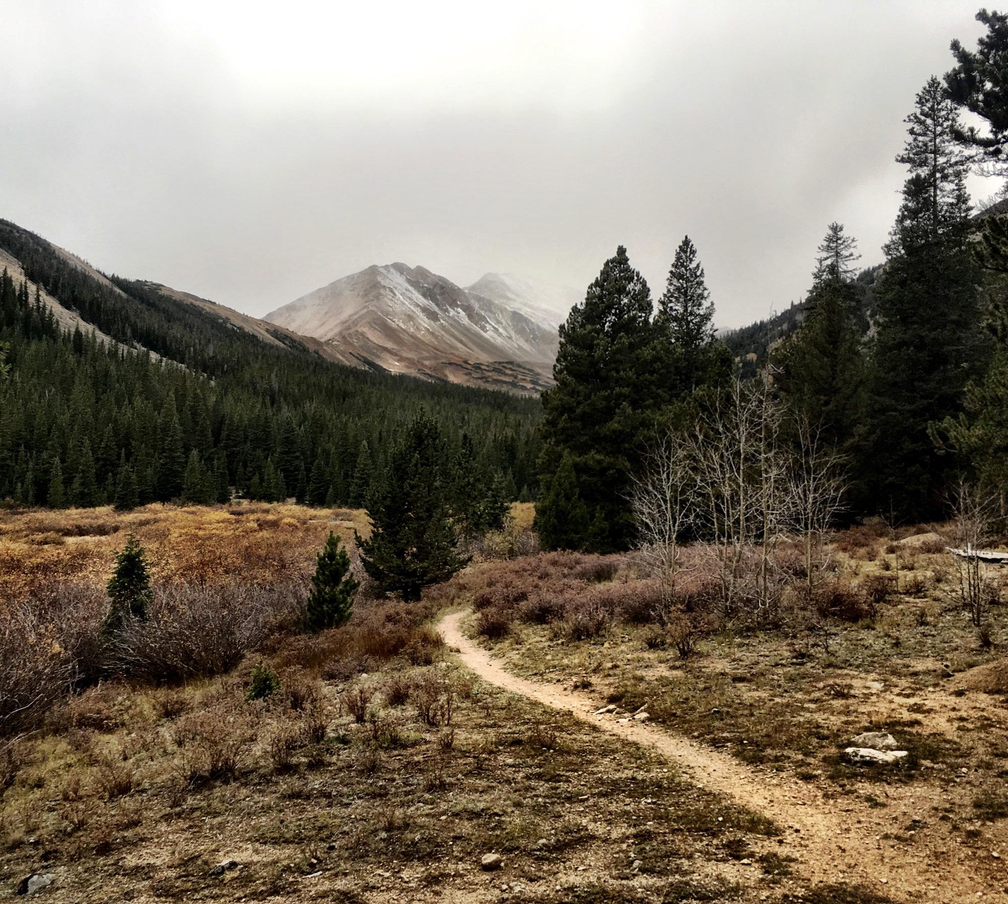
The Colorado Trail runs for 3.3 miles (one-way) south from the North Cottonwood road/Silver Creek THD to the Collegiate Peaks wilderness. It parallels Silver Creek all the way to the wilderness boundary.
While the singletrack's actually in pretty great shape, this trail just isn't worth the effort. It's essentially a hike-a-bike almost all the way up, and while part of the descent is ripping and fun, a long portion of it is so steep, the trail is so narrow, and it's so exposed that I found I really had to ride the brakes to stay in control... so much so that I could smell my brake pads burning!


While the singletrack's actually in pretty great shape, this trail just isn't worth the effort. It's essentially a hike-a-bike almost all the way up, and while part of the descent is ripping and fun, a long portion of it is so steep, the trail is so narrow, and it's so exposed that I found I really had to ride the brakes to stay in control... so much so that I could smell my brake pads burning!
| Thank