×

|
Rate it:
Tags:
Level: Advanced
Length: 5 mi (8 km)
Surface: Singletrack
Configuration: Network
Elevation: -
Total: 7 riders
Mountain Biking Clear Creek
#103 of 205 mountain bike trails in Tennessee
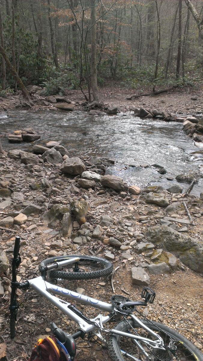
This is a very technically challenging singletrack trail that runs along the entire
northeastern side of the trail system. Expect steep climbs, steep descents, serious
exposure, and massive boulder fields.
First added by Greg Heil on Jul 2, 2011. Last updated Apr 28, 2020. → add an update
Before you go
- Drinking water: unknown
- Lift service: unknown
- Night riding: yes
- Pump track: unknown
- Restrooms: unknown
- Fat bike grooming: unknown
- E-bikes allowed: unknown
- Fee required: unknown
This trail information is user-generated. Help improve this information by suggesting a correction.
From interstate 75 north of Chattanooga, TN take Cleveland Bypass to 64. 64
takes you to Ocoee lake and past the Ocoee Dam. A couple of miles after the
Dam you will see the Ranger station on the left (accross from the lake). Take
left after ranger station and follow road up the mountain to the Chilhowee
Recreational Area. Trails start from here. Alternate start is past ranger station
take 30 and bike parking area is just on the left. This is the start of the
Clemmer Trail.


good trail. rode up from parking lot at rt 30 than did the slickrock loop. than up past the falls and down clear creek. very fun fast and sometimes tehnical trail. combined with slickrock well worth it.more old school than new school boring flowwy stuff. definitely need some legs and lungs.
| ThankAbout 90% of this trail is not that bad really its that 10% that is sketchy as all get out, rocky and steep with the only exit in a crash being rocks or cliff side lol.
| ThankThis trail is best accessed by riding Azalea from the lake parking lot and exiting left to pick up Clear Creek. Ride down to Rimrock, exit right down to Rock Creek and back up to Clemmer for a beginners loop. Clear Creek doesn't get difficult until after the Rimrock breakout.
| ThankI started on this trail @ the intersection of Rim Rock heading towards Highway 30. This trail is very very sketch (up or down). Lots of hike n bike sections, one section in particular is very dangerous. Personally I wouldn't waste my time w/ it, not fun @ all.
| ThankThe most technically challenging trail in the system.
| Thank