×

|
Rate it:
Tags:
Level: Easiest
Length: 2 mi (3.2 km)
Surface: Singletrack
Configuration: Loop
Elevation: +6/ -19 ft
Total: 2 riders
Mountain Biking City Trails - Wetlands Trails
#83 of 117 mountain bike trails in Ohio
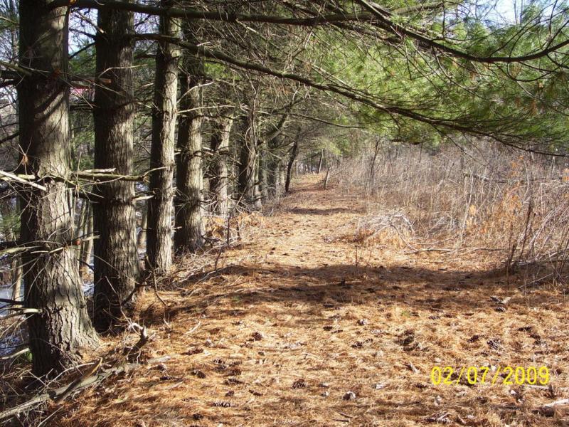
We like to include this trail with some others in the area by linking them with a little bit of road. This trail is about 1.5 total miles with a few neat bridges on it. Maps coming soon of all the City trails. Watch rvmba.com for more info.
First added by Outdoornut on Feb 12, 2009. Last updated Apr 28, 2020. → add an update
Before you go
- Drinking water: unknown
- Lift service: unknown
- Night riding: unknown
- Pump track: unknown
- Restrooms: unknown
- Fat bike grooming: unknown
- E-bikes allowed: unknown
- Fee required: unknown
This trail information is user-generated. Help improve this information by suggesting a correction.
Enter Marietta Ohio off I-77, at the first main intersection (Red Light with McDonalds on your left), turn right on Acme St., go just pas the Kroger Store and you will see the Kroger Wetlands (wooden sign pictured) on the right. Trail leaves from the parking area and is like a lollipop with a spur on the top of it.


i went here for my first time and it sucked the trail was borring and the trail was also so growed up with weeds that my group had to turn around and go back because we could barley even ried threw the weeds.
| ThankThe Marietta Trail system is a blast to connect and ride throughout the town. They are not technical trails like you can find in the Wayne or other locations, so don't bother if you want to hit jumps and obsticles. This trail was made to service the hiking public and birdwatchers. It just adds a little link when riding the entire system. If you are going to be in town contact someone at rvmba.com and see if you can get a guided tour. Don't expect technical, just some nice fast singletrack.
* Review edited 5/14/2010
| Thanknothing more than a walking path
| Thankvery short no hills or obsticals mainly a walking path
| ThankMaps are finally available for all the Marietta Ohio City Trails. Go to WWW.RVMBA.COM and see the link for "New Marietta Trail Maps".
| Thank