×

|
Rate it:
Tags:
Level:
Length: 20 mi (32.2 km)
Surface: Singletrack
Configuration: Network
Elevation: +612/ -601 ft
Total: 12 riders
Mountain Biking Chuckanut Mountain
#89 of 1,229 mountain bike trails in Washington
some of the most scenic trails rising mountains straight out of the ocean
First added by TrailAPI on May 21, 2014. Last updated May 22, 2025. → add an update
Before you go
- Drinking water: unknown
- Lift service: unknown
- Night riding: unknown
- Pump track: unknown
- Restrooms: unknown
- Fat bike grooming: unknown
- E-bikes allowed: unknown
- Fee required: unknown
This trail information is user-generated. Help improve this information by suggesting a correction.
There are three main ways to access the Chuckanut mountains, the Arroyo Park entrance, Cleator Road and Fragrance Lake Road. All the access points are off of Chuckanut Drive. The Arroyo Park has a parking lot right off of Chuckanut Drive next to California St. Cleator road goes all the way to a view point where you can access trails in the Larrabee State park. The Fragrance Lake Road access is via the Clayton Beach Parking lot just south of Larrabee State Park. (via WMBC)
System trails (15)


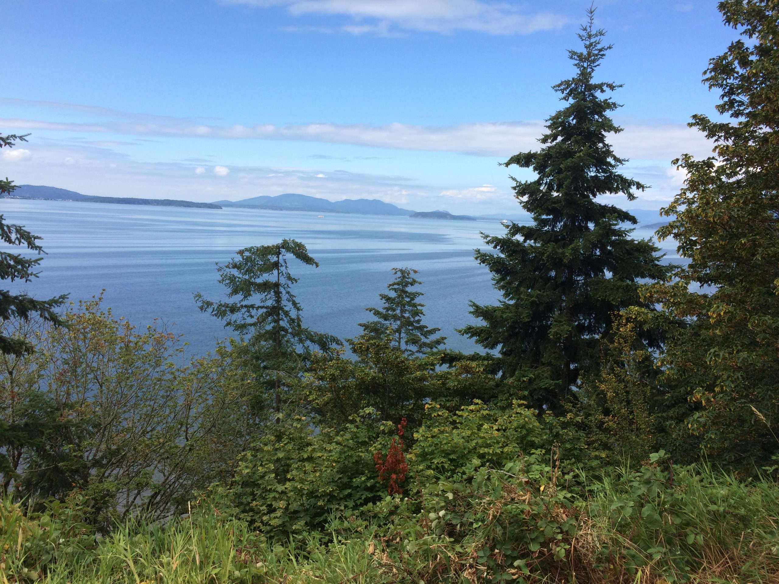

The Chuckanut Recreation Area has several THs (including Larrabee SP) to chose from and all feature stout climbs that are rewarded with fast DH runs. Bring your lungs & legs, they will be needed. Even the beginner trails require a big effort on the climbs. Trails vary from gravel roads to narrow ridgeline singletrack. There are rewards for your effort though as there are viewpoints of Mt. Baker and the bay along the trails. For raw beginners or family fun the Interurban Trail skirts the area and provides up to 14 miles of OAB riding with little vertical challenge (less than 300').
| Thank