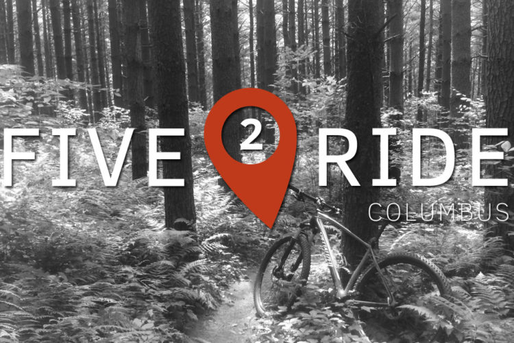
Chestnut Ridge is Columbus Metro Parks first and only mountain bike trail. The park is located on a ridge and affords views of Columbus some 17 miles to the north. The park property is in two halves - the eastern half is the pedestrian loop and is a great park for hiking and jogging. The western half is bounded by Amanda Northern Road and Mason Road and the trail occupies nearly all of the property on this side. The trail is comprised of two loops that are to be ridden clockwise. From the parking lot, the trailhead is close to Mason Road and begins as a doubletrack grass path through a field. Once through the field, the trail narrows to singletrack and ducks into the woods. In the woods you will find a junction where the Moderate or More Difficult blue diamond trail climbs through a series of short switchbacks from 909 feet up to 1,352 feet. Once at elevation you will see an evident viewing area to see Columbus before entering the woods. On top of the ridge is a rock garden to navigate through. Eventually, this blue diamond trail descends and meets up again with the Easy green diamond trail near the junction for a great ride through the woods before descending and returning to the parking lot. The green trail is 4.5 miles and the blue trail adds 3.0 miles for a total ride of 7.5 miles as of the opening day of the trail. Another 2.5 mile loop is under construction on the land north of the green loop that, when completed, will bring the trail up to 10.0 miles.


This trail was a very pleasant surprise. A very good use of the terrain with some minor natural obstacles . Nothing crazy or overly difficult, just a relatively smooth and fast trail. I will ride this trail again
| ThankGood climb for central Ohio fun down hill makes it well worth it!
| ThankI've been riding here for about 3 years now. With the pump track, dowhill trail 'more cowbell', and single track chestnut ridge has something for everyone. There are a few bridges, 3 drop off on the cross country, 3 drop off on 'more cowbell', bank turns, roots, some table top jumps on more cowbell, that keeps things interested.
| ThankLikely my favorite local MTB trail. COMBO has done lots of great work to design and develop this trail over the years. Additions over the last few years include a dirt pump track, cross course, several add-on loops (Squatch and Fireball), and a fantastic downhill track (More Cowbell). You won't forget the signature switchback climb to the Apple Barn.
| ThankI was visiting family in Columbus and had already ridden the Alum Creek trails and was looking for something different. Trailhead was very easy to find along with the trail being well marked with lots of information at the trailhead. The trail has some elevation gain but it feels spread out except the one section before the ridge itself. The trail is all single track with many man-made features ( very well constructed bridges) and a great down hill section. There is also a skill park type section but I didn't notice it until I was leaving ( appears to be at the start of the trail in the field). Great ride especially for an out of owner.
| ThankGreat way to break in the day! Rode the whole loop I'm guessing about 8.5-9 miles and the climbs kicked my a$$! I wasn't in peak as the season is just starting but it was an amazing trail very natural. They had a pump track as well but the wind made it harder than it would be on a normal day. I only wish some of the switch backs had berms so you could hit the DH sections faster ( slid out pretty good in the last two miles. I highly recommend this ride!
| ThankFavorite trail within 30 minutes of Downtown Columbus. I only wish that it was open for Night Riding.
| ThankThis is a fun trail with plenty of elevation. The trail was wet the day that I rode it so a little slow going and definitely a workout with all the elevation. Not too rooty or rocky but enough to keep it interesting. If you want a good cardio workout this is it!
| ThankGood maintained trail, some challenging climbs with some rewarding decents. Not a ton of flow, but has it sections.
| ThankExcellent trail, has a series of switchback that will make you work for it. Nothing crazy technical, some areas of rock gardens/root but very enjoyable. Probably mid trail you'll start getting a better flow as initially is climbing switchbacks. Very well marked.
| ThankMoved to the area last fall and this is my local trail, only 15 minutes away. It's not terribly technical; what gets you are the sudden short climbs. I ride it quite a bit because it is close; however I find it difficult to get up to a decent speed before I have another short climb - probably my personal preference for downhilling coming in. Very well maintained. If you like to get on your bike and chug along this is a perfect trail.
| ThankThis trail just opened last fall. One way trail. It gets better each time I ride there. This trail has the most climbing in the Columbus area. It is a stacked loop. So you can do around 4 miles. Or do the additional loop for around 7. When it opened I felt like it was all climbing with no flow. But as the trail has broke in. And a couple corners have been reworked. It really is getting more flow to it. You can get some practice with switchbacks here. I believe the plan is to add a little more distance to the beginning. I believe it will be around 8-9 miles when all finished* Review edited 9/8/2012
| ThankI rode the Chestnut Ridge trail today despite the recent rainy weather because I wanted to try it out before the weather got rainier and found the trail to hold up well. When I entered the trailhead and began to ride through the field I wondered if this is all that there is. But the trail turned to singletrack pretty quickly and the uphill switchbacks began. I have to admit that, when going uphill, I pushed more than I rode although I watched stronger riders make it up. After navigating through the woods I came to the junction where riders can turn left for a more challenging and more scenic ride along the crest of the ridge and through extensive rock gardens for a full 7.5 mile ride or turn right onto the green trail for a shorter 4.5 mile trail. It is my opinion that everyone, novice and expert alike, should take the blue trail and ride the entire trail system. Aside from navigating through the rock garden, there is nothing particularly technical or dangerous on this trail. It's just more strenuous. The most dangerous challenge that I encountered was a creek crossing near the end of the green loop that everyone has to ride. The crossing begins with a particularly steep downhill followed by a short level then another quick drop then it shoots through the creek. (I'd love to see others' comments about this crossing. While slick and muddy it looked dangerous. When dry, this should be alot more fun.) Other than this crossing I encountered two narrow wooden bridges and that was all. I'm not a technical rider so that's fine with me. I enjoyed the ride through all of the woods and along the ridges and finally getting to ride a new mountain bike trail. Hikers and horse riders are not permitted on this trail. There are very few roots, quite a few rocks that can easily be ridden around, and the trail is clear of all undergrowth. Some stretches are particularly fast. Watch for riders going the wrong way, though. The trail end is the first thing that you see from the parking lot - the trailhead is not as evident...remember to ride clockwise. This trail is going to become very popular - the park rangers have been told that they may need to increase the size of their parking lot before the Spring.
| Thank