×

|
Rate it:
Tags:
Level: Intermediate
Length: 7 mi (11.3 km)
Surface: Singletrack
Configuration: Loop
Elevation: +478/ -147 ft
Total: 43 riders
Mountain Biking Camp Camfield
#18 of 128 mountain bike trails in Illinois
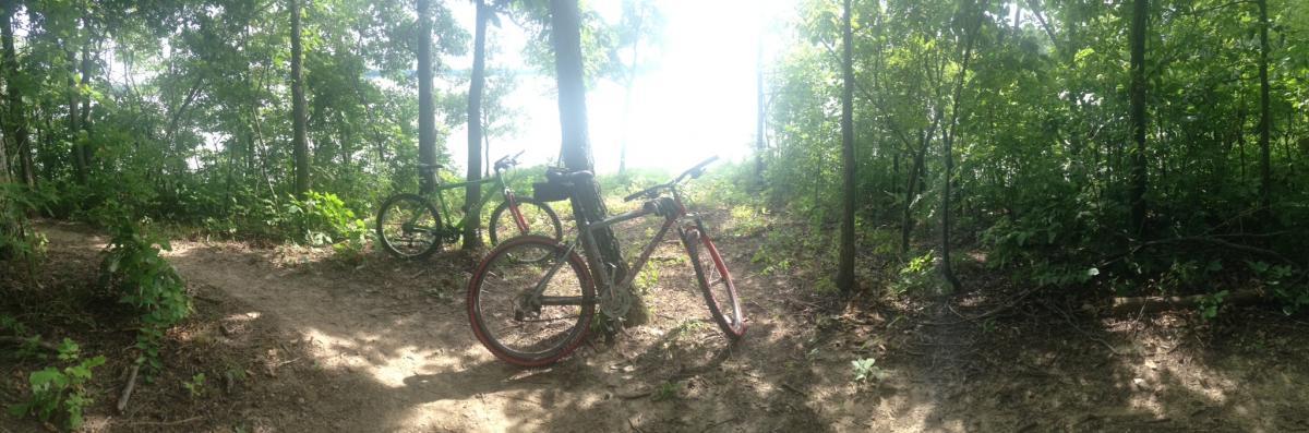
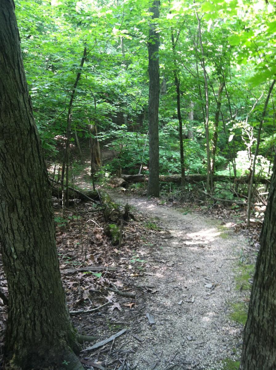
Go left past/behind the outhouse. the trail is well marked from there. when you get to the clearing head left again near the kiosk and that will take you to another loop. from here the trail is well marked also. Trail is a great, fast paced single track. Good view of Lake Shelbyville, some technical spots, a few bridges, switchbacks, and surprisingly some decent climbs. Not alot in the area but this is a gem. Corps of Engineers.
First added by roadvirus on Oct 24, 2011. Last updated May 8, 2020. → add an update
Before you go
- Drinking water: unknown
- Lift service: unknown
- Night riding: yes
- Pump track: unknown
- Restrooms: yes
- Fat bike grooming: yes
- E-bikes allowed: unknown
- Fee required: unknown
This trail information is user-generated. Help improve this information by suggesting a correction.
from Sullivan take 32 South toward Windsor approximately 2-3 miles, take a right onto 1200 North, follow the road to a 90 degree left followed by a 90 degree right, go over a bridge and the trailhead will be on the left after the bridge.


Great Flow, Novice or beginner all three loops. I will be riding the Black trail that was added next time I go. I hear it is more technical and a little more difficult. That may bump this trail up to a 5 star. A great trail for central IL.
| ThankFYI the Trail is now about 8.5 -miles.
My home trail is Kickapoo, consistently rated best in the state. Camp Camfield was a nice change of pace, and with the exception of the lack of extended climbs, just as challenging as Kickapoo.
| ThankGreat Trail to ride with your kids
| ThankPS. Trail seems to be closer to 7 miles in length rather than the listed length of 6 miles.
| ThankTechnically this may be called intermediate, but it's basically a beginners trail and an excellent one at that. Nice wide trails with very few obstacles. Long smooth decents and ascents perfect for novices but also allowing more experienced riders to generate some speed with minimal risk. Very clean and under utilized so you'll likely have the trail all to yourself as I did. Beautiful views of the lake and water fowl at several points along the trail.
| ThankTrail is always well groomed and the area is always kept clean. I enjoy this ride.
| ThankThis trail is fairly straight forward, no jumps or thrills but it is a great trail system. The green trail is perfect to teach beginners on and it looks around so you can stay on the green trail. The blue trail offers a little bit more speed along with climbs and the orange offers about the same as the blue. The reason I rated it so high was because of the simplicity of it, the general upkeep is very good, the layout, and the fact that this trail is rideable when other trail systems are flooded out. If you are looking for a nice ride with a few challenging climbs and a few nice views across the lake then this is a good trail. If you are looking for big air and high speeds then you might want to try elsewhere.
| ThankBeautiful trail! Biked all trails then went down to to lake for a swim. Had some steep parts, but overall doable.
| ThankFast, flowy & fun! With punchy climbs and well maintained.
| ThankThere are three trails as everyone else has stated. Coming from Georgia with the Appalachian MTN's, these trails are all easy. They are fast and flat. They were a little wet weigh made it interesting, but overall pretty fun. No one else was there, but it seems to be well ridden. It's well maintained and easy to follow. The blazes aren't the normal trail markers, but they suffice for markings. If your in the area, it's a good ride. Beautiful views of the lake and a chance to get in the woods.
| ThankLove these trails! I rode the green and blue today and really enjoyed. Hope to go back soon and ride the orange.
| ThankThere is now over 8 miles of trails. Very fluid flows together nicely.
| ThankGreat place to get someone interested in the sport. Definitely a must ride.
Great trails with a lot of nice views of lake. Narrow and handlebars hooked a tree but nice overall.
| ThankThis is a great trail! It has about two miles of trail for beginners (green trail) and about five miles of trail for intermediate riders (blue and orange trails). Just as the trail description says. It is fun, fast-paced but challenging enough. It was like riding a roller-coaster. It had some great views of the lake. It was absolutely beautiful in the fall. Beware deer hunting is allowed there during hunting season.* Review edited 10/21/2012
| ThankWe rode this trail twice in one weekend. There are some technical areas, with steep declines up to rooted climbs, but overall the trail is fast and nicely maintained. It's a great beginners trail, with just enough challenge to keep advanced riders interested. There are some really nice views of Lake Shelbyville as well. It's especially nice that you can ride all of it on singletrack. * Review edited 7/27/2012* Review edited 7/27/2012
| Thank