×

|
Rate it:
Tags:
Level: Beginner
Length: 5 mi (8 km)
Surface: Singletrack
Configuration: Network
Elevation: +246/ -256 ft
Total: 29 riders
Mountain Biking Brushy Peak Regional Preserve
#348 of 1,015 mountain bike trails in California
Bring drinking water when you visit the 1,833-acre Preserve; no drinking water is available.
First added by TrailAPI on Jul 18, 2013. Last updated May 2, 2020. → add an update
Before you go
- Drinking water: unknown
- Lift service: unknown
- Night riding: unknown
- Pump track: unknown
- Restrooms: unknown
- Fat bike grooming: unknown
- E-bikes allowed: unknown
- Fee required: unknown
This trail information is user-generated. Help improve this information by suggesting a correction.
From I-580 in Livermore, exit north at Vasco Road and immediately turn right onto Northfront Road. After about .8 miles turn left onto Laughlin Road and proceed approximately two miles to the staging area at the end of Laughlin Road.


I put this spot on my to do list after reading your review. Thanks for the details!
| Thanka little washed out from recent rain but no sand
| ThankRide counter clock for the best climb and desending.
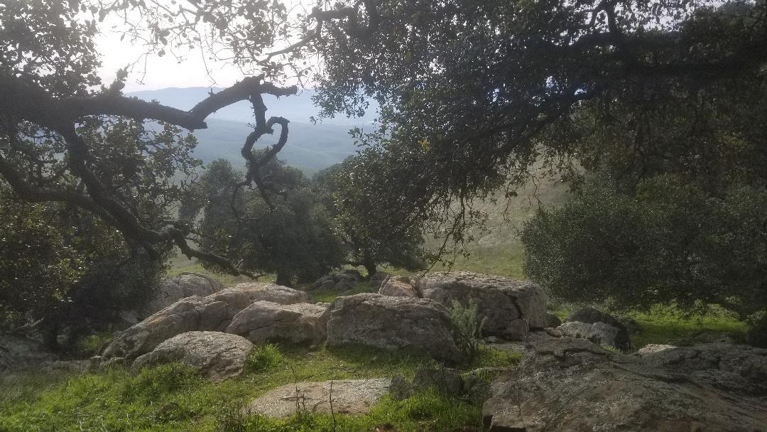
| Thank2 miles climb and hot weather, not a good combination and the rock, wish I knew, I fell off the bike. Beautiful view of Livermore.
| ThankRode this loop today about 10:00 am, not too hot! But could be real hot in the summer, bring plenty of water. Mostly fireroad but there is some singletrack mixed in. Great views of Livermore valley from the top. Going down is well worth the hump to get to the top. Lots of speed, watch your braking! Also some rocks can surprise you, don't get too comfortable on the ride down!! Over all a good work out, I recommend it!
| Thank