×

|
Rate it:
Tags:
Level: Intermediate
Length: 5 mi (8 km)
Surface: Singletrack
Configuration: Out & Back
Elevation: +294/ -280 ft
Total: 14 riders
Mountain Biking Brad Freeman
#298 of 1,015 mountain bike trails in California
The Brad Freeman Trail is a 40 mile trail of which 30 miles is flat except for the part nearest the dam.
The trail on the far side of the dam has some fast downhill single track where you can really lay down some turns. It is just rocky enough to be fun and it is steep enough that you can go as fast as you want.
First added by jmahler on Aug 16, 2009. Last updated Apr 28, 2020. → add an update
Before you go
- Drinking water: unknown
- Lift service: unknown
- Night riding: unknown
- Pump track: unknown
- Restrooms: unknown
- Fat bike grooming: unknown
- E-bikes allowed: unknown
- Fee required: unknown
This trail information is user-generated. Help improve this information by suggesting a correction.
From Highway 70 take the Oro Dam Blvd Exit.
Follow the signs towards Oroville Dam and continue on Hwy 162 then turn left at Canyon Rd.
Continue past the first left turn for Oro Dam Blvd and turn left at the second one going across Oroville Dam. Parking is available at the near side or the far side of the dam.


The most fun option is not the Brad Freeman Trail but single track that winds perpendicular to it. Same trailhead .Start on NW side of Dam, Park in round about "cul de sac" hop gourd rail or go through green gate you'll have 3 choices first most right unnamed, middle "North Fork" or furthest left Brad Freeman. BF is fun but it will not last very long only about a mile from top to bottom. I prefer taking the North Fork trail then within 50 feet take a left on un named single track. this is probably the most challenging riding I've found at lake Oroville. Nothing too crazy but enough to keep you paying attention and plenty of hazards if you're not. Watch carefully when trail passes under power lines as it's easy to take a wrong turn and end up off the trail. You'll cross a creek with swimming holes at about the half way point. Trail will eventually connect to BF trail(Gravel Rd) around 4 mile mark. Hang a left and follow for several miles, cross foot bridge and eventually you'll see BF trail marker to your left. Enjoy a 600 ft climb back to your car!
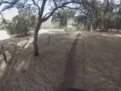
| ThankA fun, family friendly ride along the Feather river. Couple of steep spots, but can walk up them easily. Fun tunnel to ride through. Take a light. some parts narrow down to easy single or double track. Don't have to have a mtb, but not suitable for road bikes or road tires. Nice ride to take for a picnic. see turtles, eagles, hawks, osprey, etc. VERY hot in summer. take plenty of water. I'm a 65 year old women new to cycling of any kind and I found it very accessible.
| ThankOld DH course, still some races once in a while. Drop in single track to the left rip it to the gravel road and climb out do it again
| Thank