×

|
Rate it:
Tags:
Level: Beginner
Length: 2 mi (3.2 km)
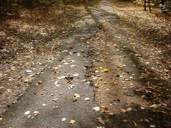
Surface: Fire Road
Configuration: Out & Back
Elevation: +860/ -728 ft
Total: 21 riders
Mountain Biking Bluff Trail
#92 of 205 mountain bike trails in Tennessee
This trail has many hills and lots of curves. It is 2.5 miles one way. This trail requires some skill to navigate curves going downhill. It takes some aerobic strength to peddle up long hills.
First added by shar on Apr 4, 2005. Last updated Apr 30, 2020. → add an update
Before you go
- Drinking water: unknown
- Lift service: unknown
- Night riding: unknown
- Pump track: unknown
- Restrooms: unknown
- Fat bike grooming: unknown
- E-bikes allowed: unknown
- Fee required: unknown
This trail information is user-generated. Help improve this information by suggesting a correction.
From I240 North in Memphis, Tenn., take Exit 2A (Millington/Meeman Shelby Forest). Turn right onto Hwy 51 North. Turn left onto North Watkins. Go 9 miles. This road will dead-end at Locke-Cuba Rd. Turn left. At Bluff Road, turn right. At the "welcome" sign, turn left. Go past the Visitor's Center. You will see the sign for the bicycle trail. Parking is near Picnic Shelter #2. The bike trail starts near the "stop" sign. The park access fee is $3 per vehicle.


This trail really isn't very technical but has its own challenges. If you ride this trail in the summer, whatever you do, DON'T stop on this trail. Keep riding or the mosquitoes will pick you up and carry you away.
| ThankA nice short trail to ride and enjoy the scenery. Good for beginners. It has some steep descents. There is a really tough hill to climb that seems really long. You need a lot of energy to climb it. The trail is about 2.5 miles long one way and takes about 15 minutes one way. Be careful going down the big hill on the way back because the ledge is really steep. There are a lot of hikers on the trails also so watch out for them. A lot of them get preoccupied and dont watch out for bikers. There are also a lot of people that walk their dogs on the bike trail and some dont use a leash so watch out for dogs running out in front of you. The people there seem really friendly though. Be sure to wear plenty of off or some type of mosquito repellant because the mosquitos there are on steroids.
Also, many people ride the roads in Shelby Forest where the trail is located for extra riding. The roads have a lot of very steep hills so you have to be in really good shape to ride them. * Review edited 11/10/2007
| Thank