×

|
Rate it:
Tags:
Level: Beginner
Length: 10 mi (16.1 km)
Surface: Singletrack
Configuration: Loop
Elevation: +184/ -180 ft
Total: 55 riders
Mountain Biking Baker Creek
#39 of 116 mountain bike trails in South Carolina
"I've never been to these trails but I would imagine they are similar to Turkey Creek and Horn Creek. Please review this trail to give a better description.
First added by searsandrewj on Jan 1, 2003. Last updated Apr 30, 2020. → add an update
Before you go
- Drinking water: unknown
- Lift service: unknown
- Night riding: unknown
- Pump track: unknown
- Restrooms: unknown
- Fat bike grooming: unknown
- E-bikes allowed: unknown
- Fee required: unknown
This trail information is user-generated. Help improve this information by suggesting a correction.
"From Augusta, take Hwy. 28 (Fury's Ferry Rd.) to South Carolina. Go about 25 miles to McCormick. Turn left at light onto Hwy. 378. Turn right onto Huguenot Pkwy. Go about 1 mile. Enter Baker Creek State Park to the left. Follow signs to trailhead and pavillion parking lot."

loved bakers creek. cant wait to go back!
| ThankIs this for the Urban Knoxville Baker Creek or for Mc Cormick,SC?
| ThankAny improvements since than?
| ThankIsn't this a review for a similarly named trail in Tennessee?
| ThankThis really is a shame. It is such a nice area, and there are so many other nice trails near by. I know the last time I rode there (about 4 years ago) The trail was almost gone. I can imagine that it is a waste now. Hopefully, one day it can be rebuilt!
| ThankWhat a waste of time. I drove all the way there and spoke with the Ranger about it and he pointed out the trail head and even gave me a map. But the trails are overgrown from lack of use and many of the markers are missing. I rode for and hour and a half and lost track of the times I got turned around and ended up off the trail in the woods. If it weren't for my Garmin 800 I would have had a tough time getting out of that place. The sad thing is that it looks like it could be (and probably used to be) a pretty decent trail system. My hunch is that with FATS being so close that these trails are neglected now to the point where they're pretty much useless.
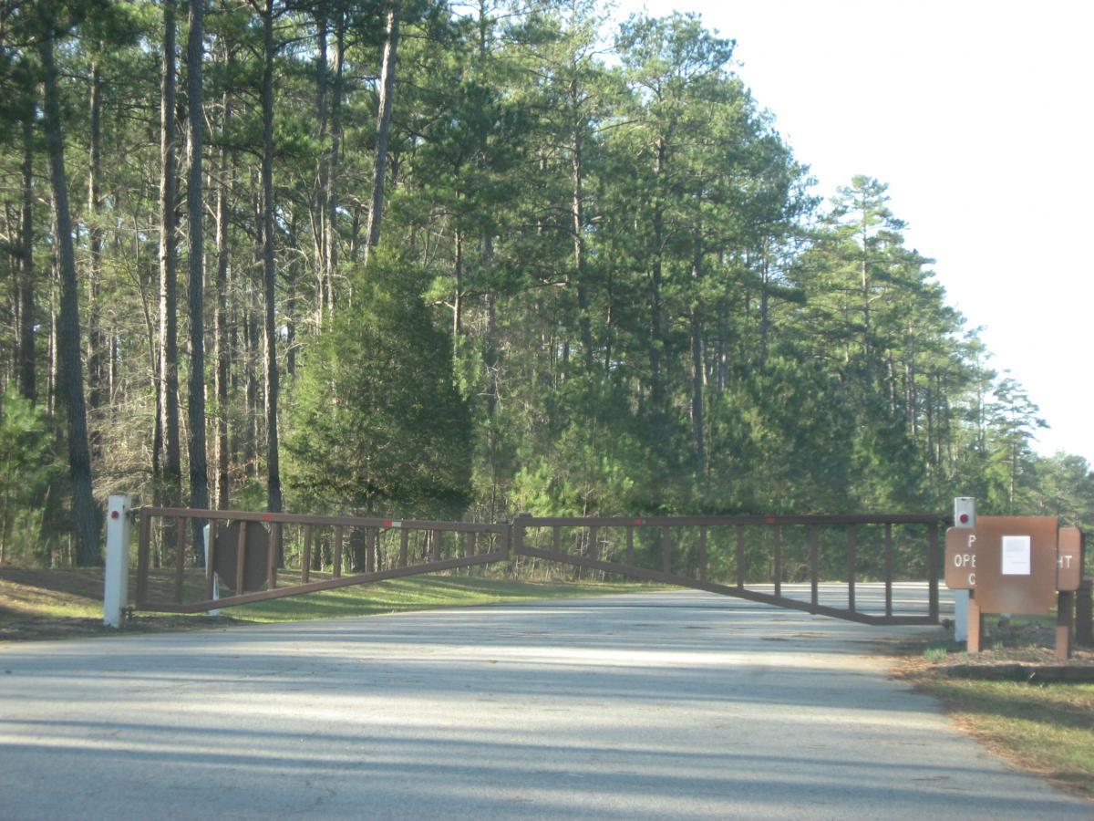
| ThankThis trail is now open. Baker Creek is closed from October 1st - March 11th. Don't forget that there are other great trails close by!
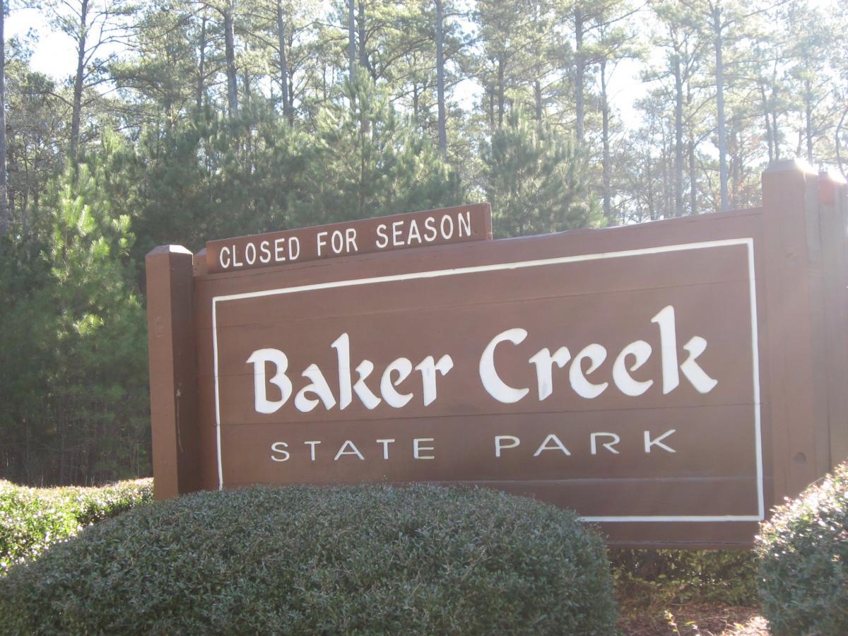
| ThankGot to this trail, only to find the park gate closed with a sign saying "closed for the season." So don't waste your time traveling great distances to this trail until sometime in the spring (I assume). So CLOSED FOR THE SEASON
| ThankThis is a beautiful trail, very wild with lots of wildlife.
| ThankBring bug spray and what ever you would like to snack on after the ride as there is no little stores out that way.
This trail is fairly new so it is a pretty rough ride. There are a lot of dips and holes in the trail that will be smoothed out over time as more people start to ride these trails. There were alot of leaves on the trail when we went so it was hard to follow the trail at times (although this trail is VERY well marked). There is alot of elevation change on this trail but never more than 100 ft at a time. Overall, a pretty interesting trail.
| Thank