×

|
Rate it:
Tags:
Level: Beginner
Length: 2 mi (3.2 km)
Surface: Singletrack
Configuration: Network
Elevation: +962/ -644 ft
Total: 18 riders
Mountain Biking Azalea
#90 of 205 mountain bike trails in Tennessee
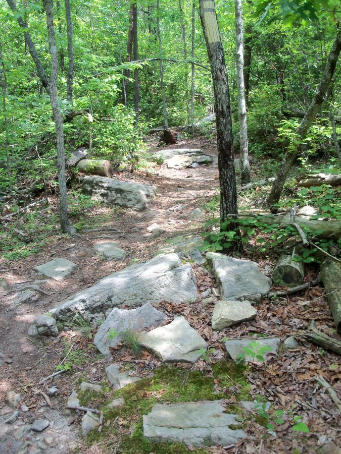
This is a wide, easy singletrack loop near the upper campground. There are a few
entertaining rocks to play on and a couple of cool bridges. Azalea is a great spot to
bring beginners!
First added by Greg Heil on Jul 2, 2011. Last updated Apr 28, 2020. → add an update
Before you go
- Drinking water: unknown
- Lift service: unknown
- Night riding: yes
- Pump track: unknown
- Restrooms: unknown
- Fat bike grooming: unknown
- E-bikes allowed: unknown
- Fee required: unknown
This trail information is user-generated. Help improve this information by suggesting a correction.
From interstate 75 north of Chattanooga, TN take Cleveland Bypass to 64. 64
takes you to Ocoee lake and past the Ocoee Dam. A couple of miles after the Dam
you will see the Ranger station on the left (accross from the lake). Take left after
ranger station and follow road up the mountain to the Chilhowee Recreational
Area. Trails start from here.


This is a really fast section on top of Chillhowee. Not very long.
| ThankThis is a cool little trail, and was in much better condition than most of the other trails in the trail system. It looks like it gets much more traffic than the rest of the trail system.
| Thank