×

|
Rate it:
Tags:
Level: Easiest
Length: 4 mi (6.4 km)
Surface: Singletrack
Configuration: Network
Elevation: -
Total: 1 riders
Mountain Biking Ash Creek
#255 of 436 mountain bike trails in Arizona
Doubletrack till you come to the national forest boundary and then a intermediate singletrack with stream crossings when wet.
First added by abegold on Aug 11, 2015. Last updated Apr 23, 2020. → add an update
Before you go
- Drinking water: unknown
- Lift service: unknown
- Night riding: unknown
- Pump track: unknown
- Restrooms: unknown
- Fat bike grooming: yes
- E-bikes allowed: unknown
- Fee required: unknown
This trail information is user-generated. Help improve this information by suggesting a correction.
Interstate 10 take exit 336 and go north on Taylor Road till it merges with Ft Grant Rd. Take it as it turns north and west to Ash Creek Rd and becomes doubletrack.


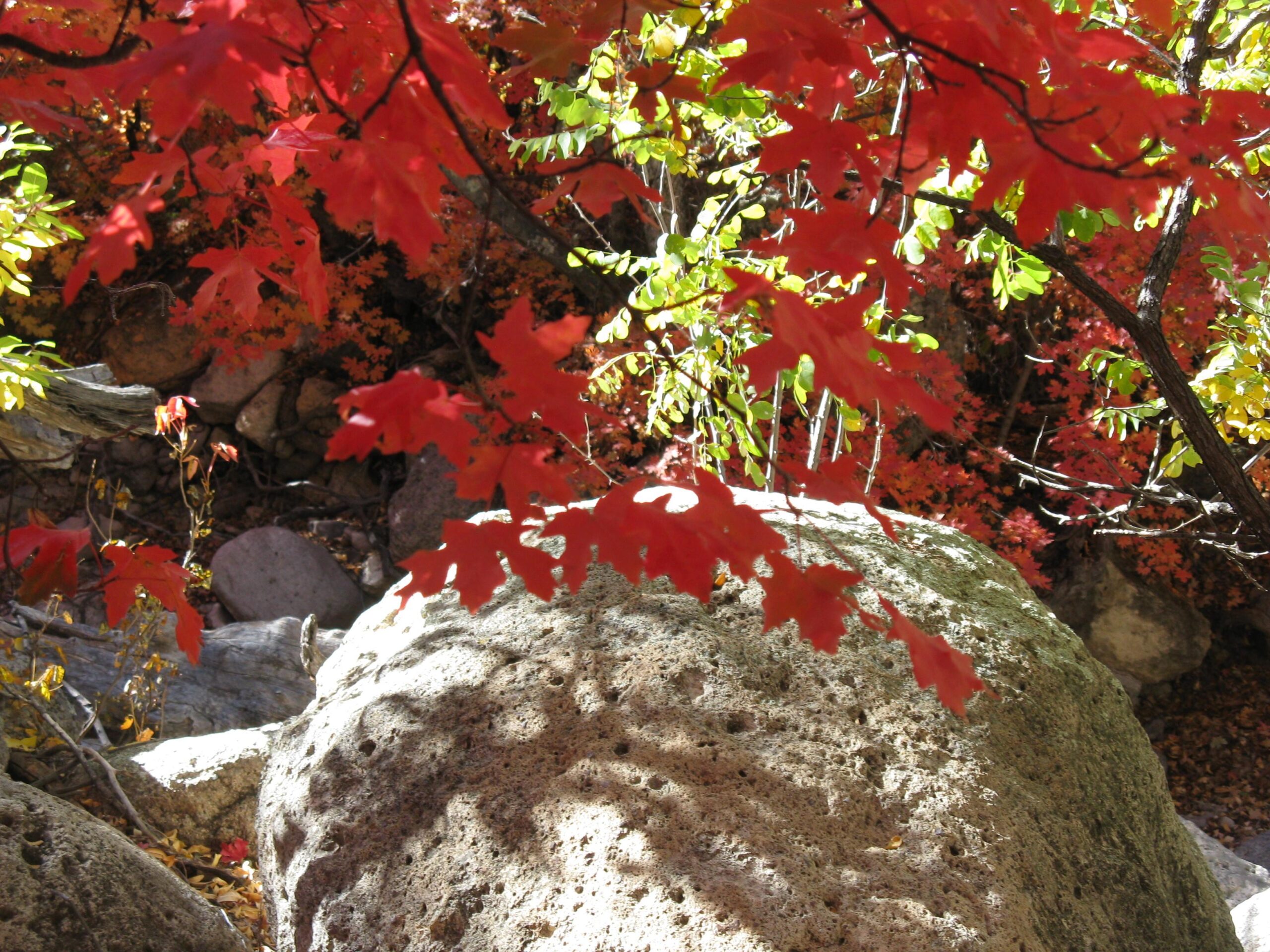

A beautiful autumn ride up Ash Creek Canyon. Hundreds of Canyon Maple trees make for a scene rare in the southwest, autumn color. Sumacs, ash an higher Aspen add to the color. Shady camping on the access road and a 6 mile trail to a cow pond on the southern road.
| Thank