
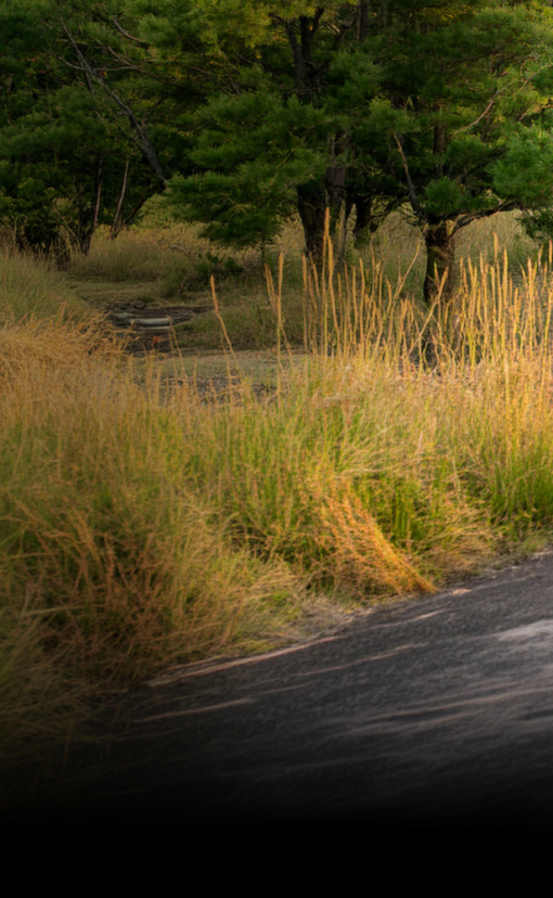
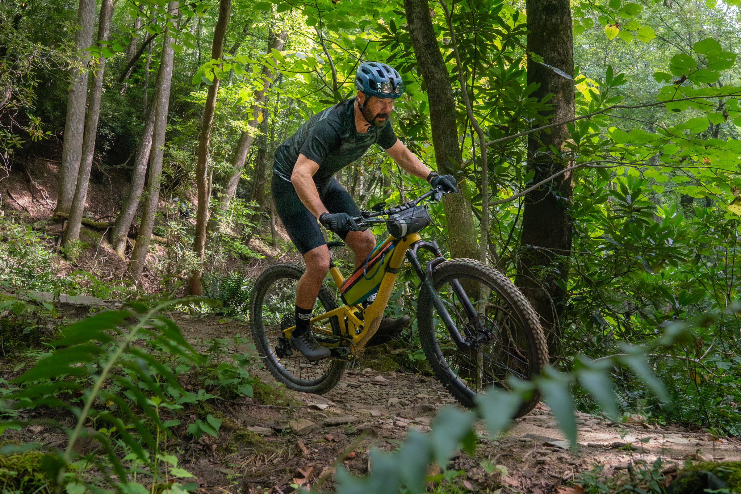
If you’re a mountain biker, Pisgah National Forest needs no introduction. But what you might not realize is how massive the forest is. Located in western North Carolina, hundreds of miles of multi-use trails spread out like veins on a leaf across nearly 100,000 acres of pristine forest in Transylvania County alone. Some of the most iconic mountain bike trails are located in the Pisgah Ranger District, just outside the town of Brevard, making it the top destination for riders in the region.
With so many trails to choose from, planning a mountain bike trip to Pisgah can be overwhelming for first-time visitors. The forest also has a reputation for big descents, remote trails, and challenging terrain; however, recent trail developments have opened up new options for beginner and intermediate riders. With that in mind, we’ve put together the ultimate guide to mountain biking Pisgah and the surrounding area, hitting well-known trails while leaving you with plenty of energy at the end of the day to enjoy everything else the area has to offer, from local craft beer to waterfalls and swimming holes.
We spoke with more than a dozen local mountain bikers from the Brevard-Pisgah Forest area to get their recommendations for the most rewarding and scenic trail routes for riders of all abilities. At the end of this article, you’ll find a sample three-night itinerary you can use to start planning your trip, though if you can spare an extra day or two on either end, we highly recommend it so you don’t miss a thing!
Day 1: Black Mountain and DuPont State Recreational Forest
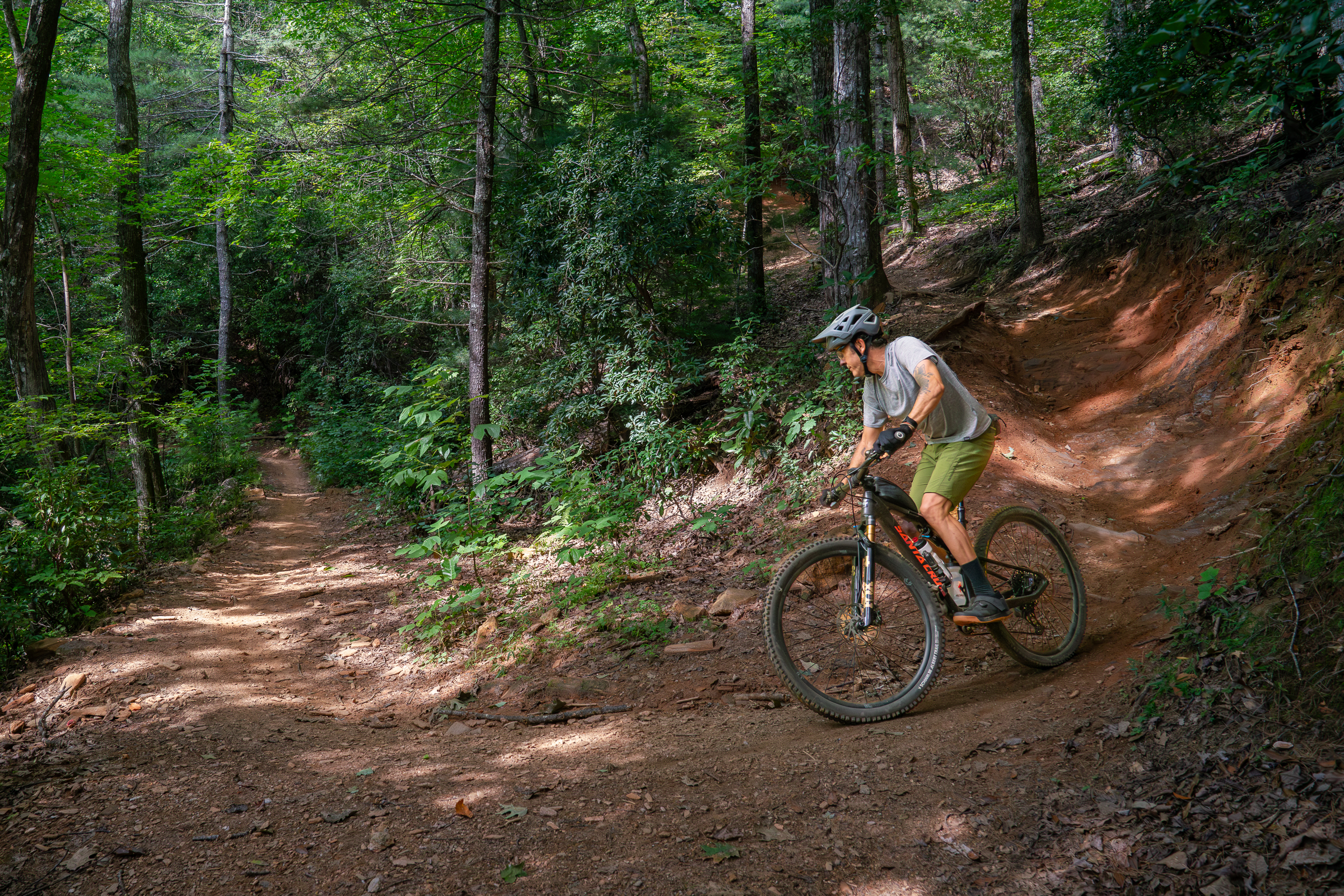
This first day in Brevard kicks off with a bang. The Black Mountain Trail — located just west of the town of Pisgah Forest — and DuPont State Forest, are easily the most popular mountain bike trail rides in the area, and with good reason. Both are easy to access, and intermediate riders will have a blast riding these trails. Hitting these on day one will give riders an idea of what they want to tackle next, whether it’s more remote backcountry trails or something closer to town.
First things first: Black Mountain Trail
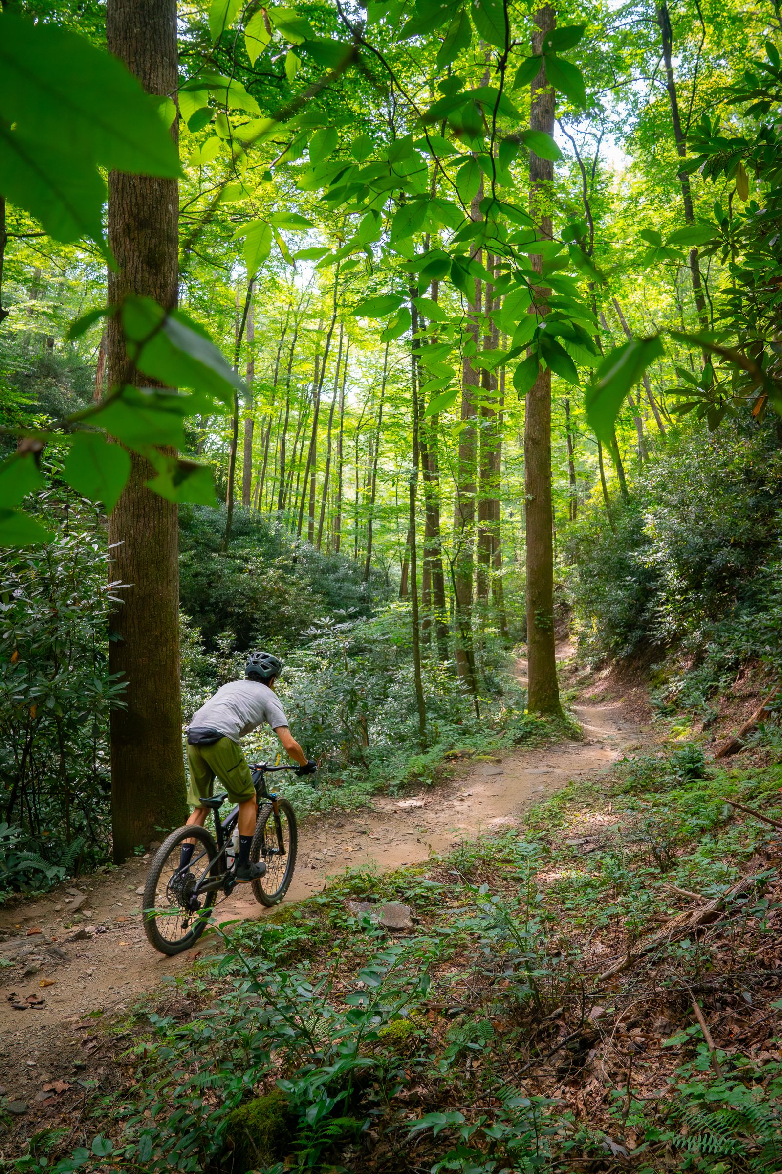
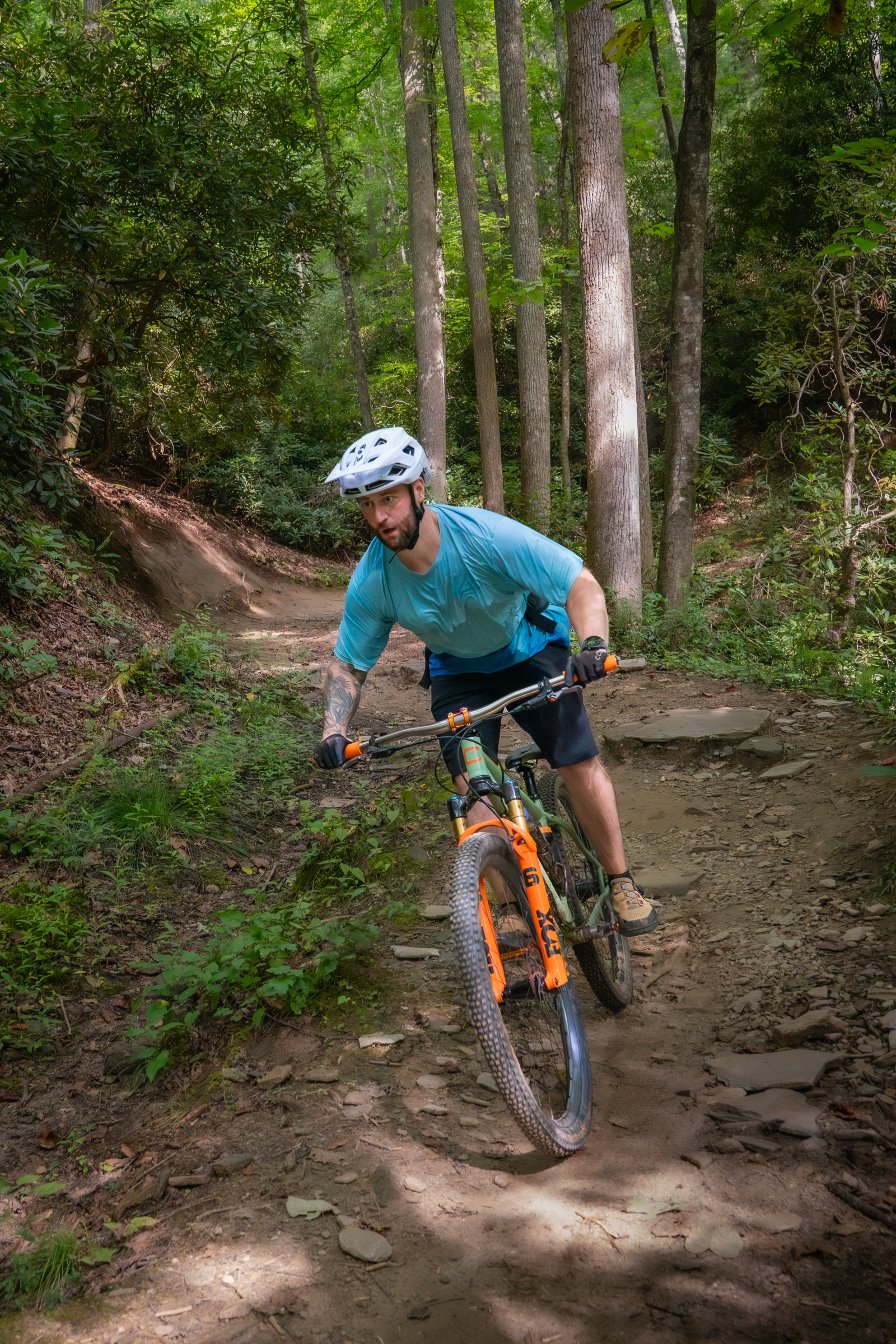
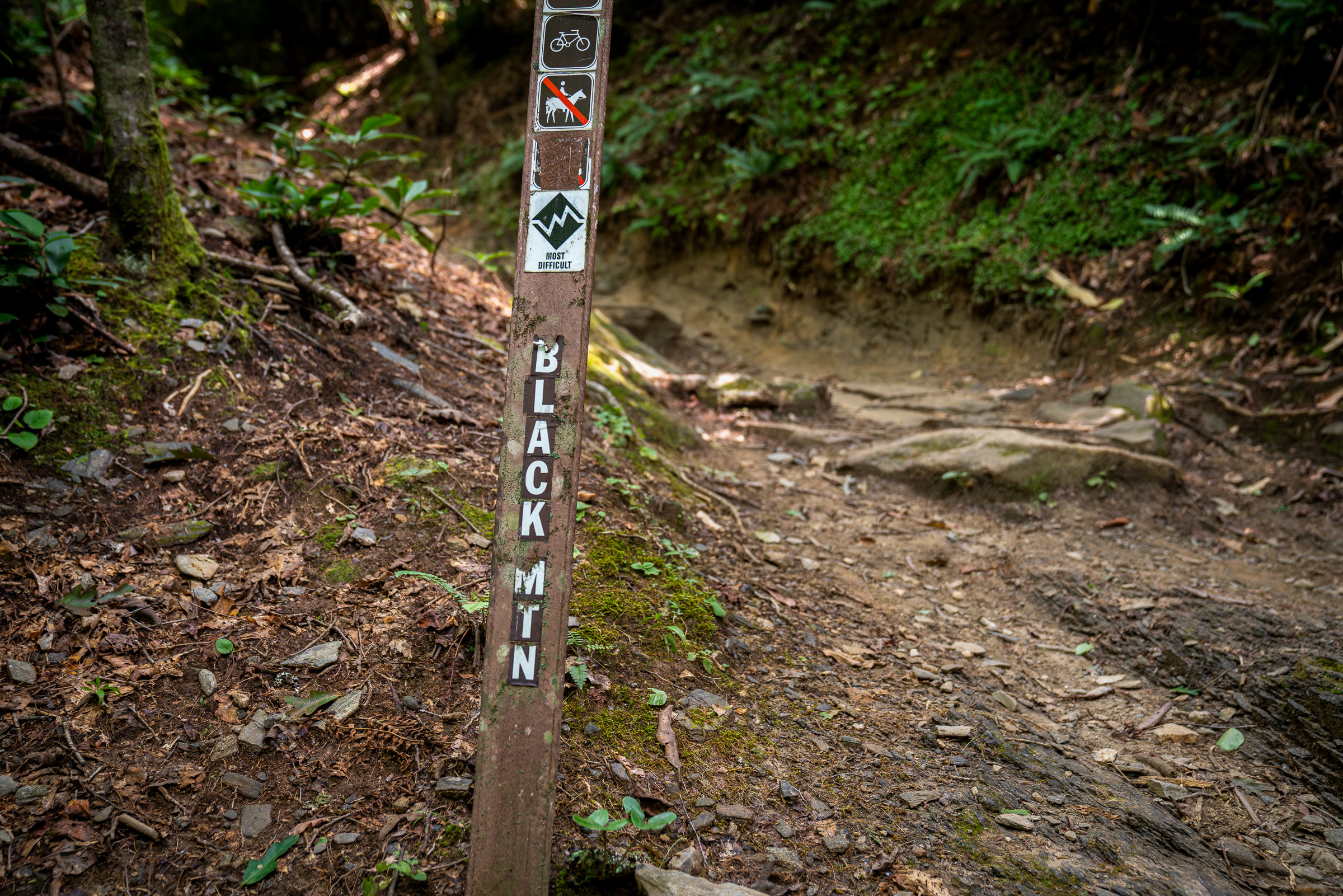
The Black Mountain Trail is the most well-known mountain bike trail in Pisgah National Forest, and no trip would be complete without at least riding a portion of it. Local mountain bike advocacy group, Pisgah Area SORBA, recommends a roughly nine-mile Black Mountain route as “one of the best ‘first day of a trip’ rides in the Pisgah Ranger District.”
The lower Black Mountain trail weaves its way through a lush and narrow ravine cut by a small creek surrounded by ferns and moss. With deciduous trees towering overhead, Lower Black is a fast and flowy descent with rocks and roots scattered throughout to keep things interesting.
Local mountain bikers consider the area around Black Mountain the “Front Range” of Pisgah thanks to its accessibility. And though Black Mountain is one of the most popular trails in the forest among visitors and locals alike, there’s a good chance you’ll have the trail to yourself.
“It doesn’t feel crowded. It flows well,” Tyler West, Pisgah Area SORBA board member, says. “It’s a long-enough loop that you could probably have 100 people on it and still not see each other.” West has raced enduro and downhill, and after living in British Columbia, among other places, he chose to move back to the Brevard area full time for the incredible community and trails.
The ride
Starting at the Hub and Pisgah Tavern, located on US Highway 276 just outside the entrance to the National Forest, pedal across the bridge to the Estatoe Trail, which parallels the rippling, crystal-clear Davidson River. The sweet smell of laurel and damp moss greets riders as they pedal along the flat and wide crushed-gravel path, which offers an immersive introduction to the forest and a scenic warm-up for the ride.
Cross the river and the paved road again toward the Black Mountain Trailhead parking area and Ranger Station. From here, you’ll steadily climb Thrift Cove Trail for about 2.5 miles, gaining roughly 700 feet of elevation. Once Thrift Cove intersects the Black Mountain Trail, it’s time to rip Lower Black!

Brevard-area bike shops
Whether you need a quick repair, an item you forgot at home, or a sweet jersey to remember your trip, there are several excellent local bike shops to choose from.
Cykelworx: Find Giant and Liv bikes plus boutique brands like Stinner and Allied at family-owned Cykelworx at 72 S Broad St in Brevard. Service and repairs are available Tuesday through Saturday.
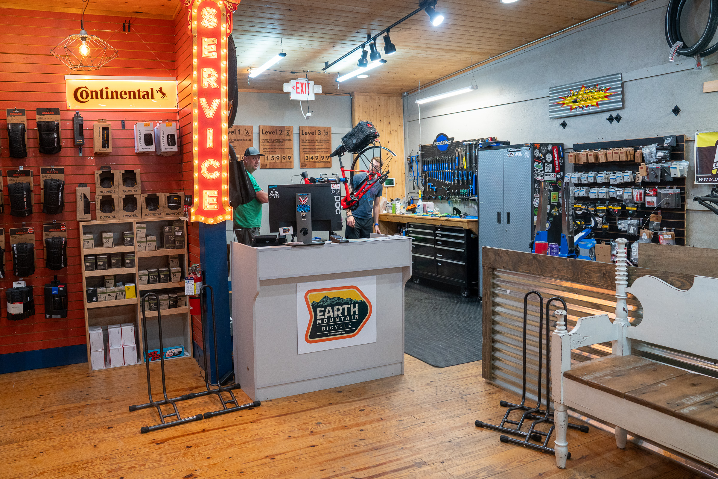
Earth Mountain Cycles: Located on Main Street in downtown Brevard, Earth Mountain is a Trek dealer offering repair service and a cafe/bar serving coffee, canned drinks, and beer on tap.
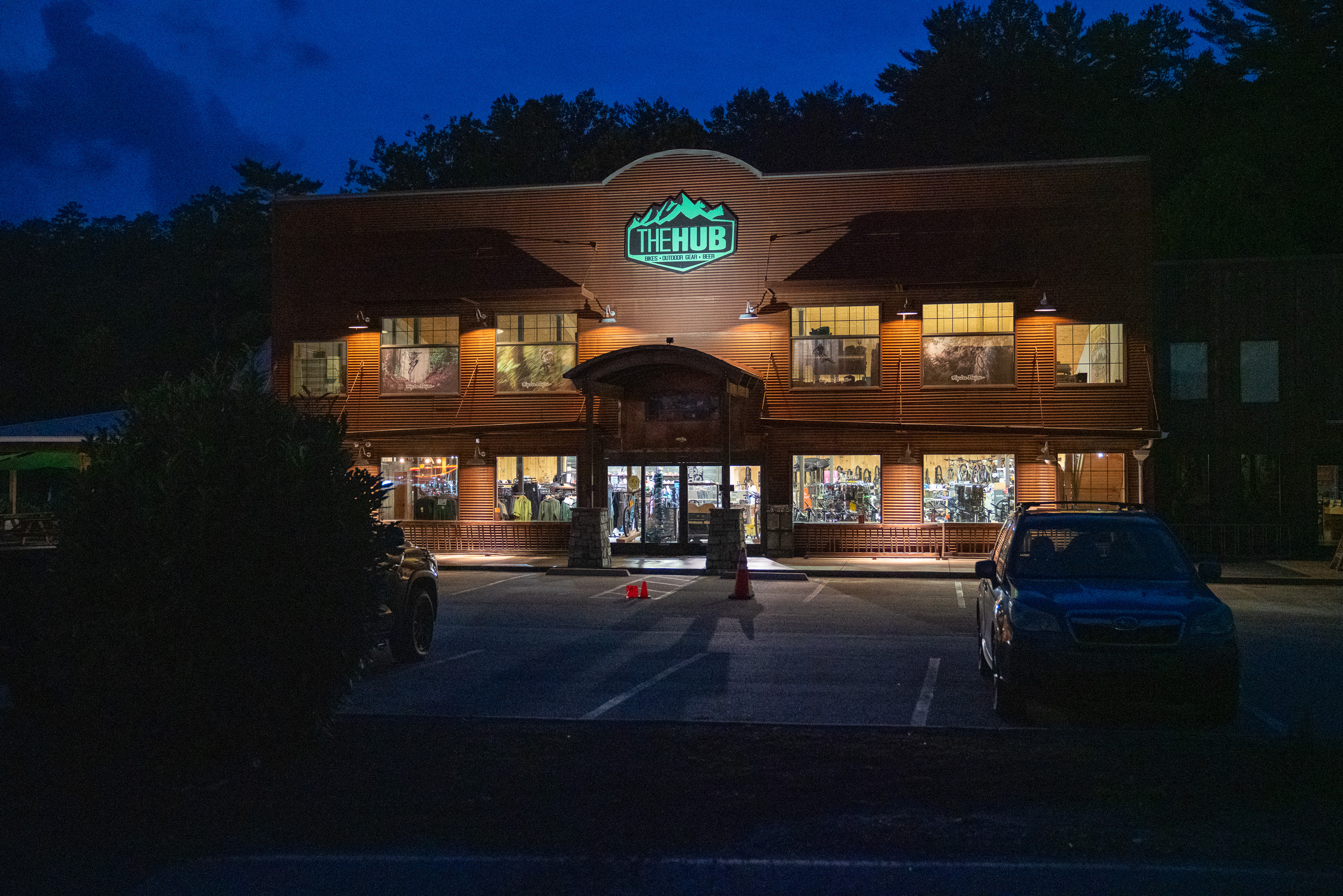
The Hub and Pisgah Tavern: The Hub is a full-service bike shop offering repairs, rentals, and sales. The Pisgah Tavern is co-located inside the shop, with beer on tap, a beer garden, and a coffee bar, making it a great spot to start or end your ride.
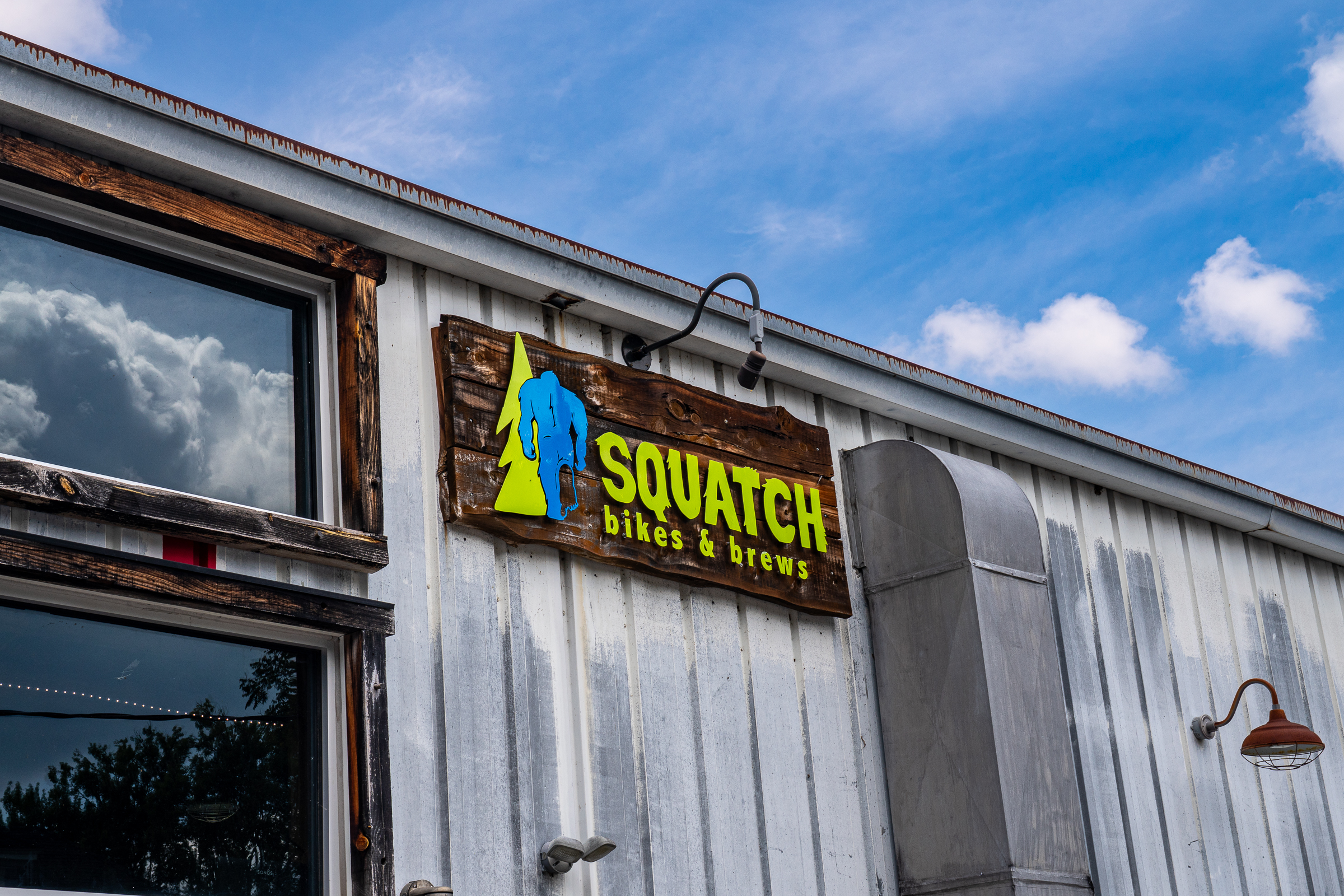
Squatch Bikes & Brews: Squatch sells Yeti, Ibis, Cannondale, and Mondraker bikes and has a fleet of mountain bike and electric bikes for rent.
Sycamore Cycles: Sycamore is the local Specialized dealer and has a large repair shop ready to service any bike and get riders back onto the trail quickly.
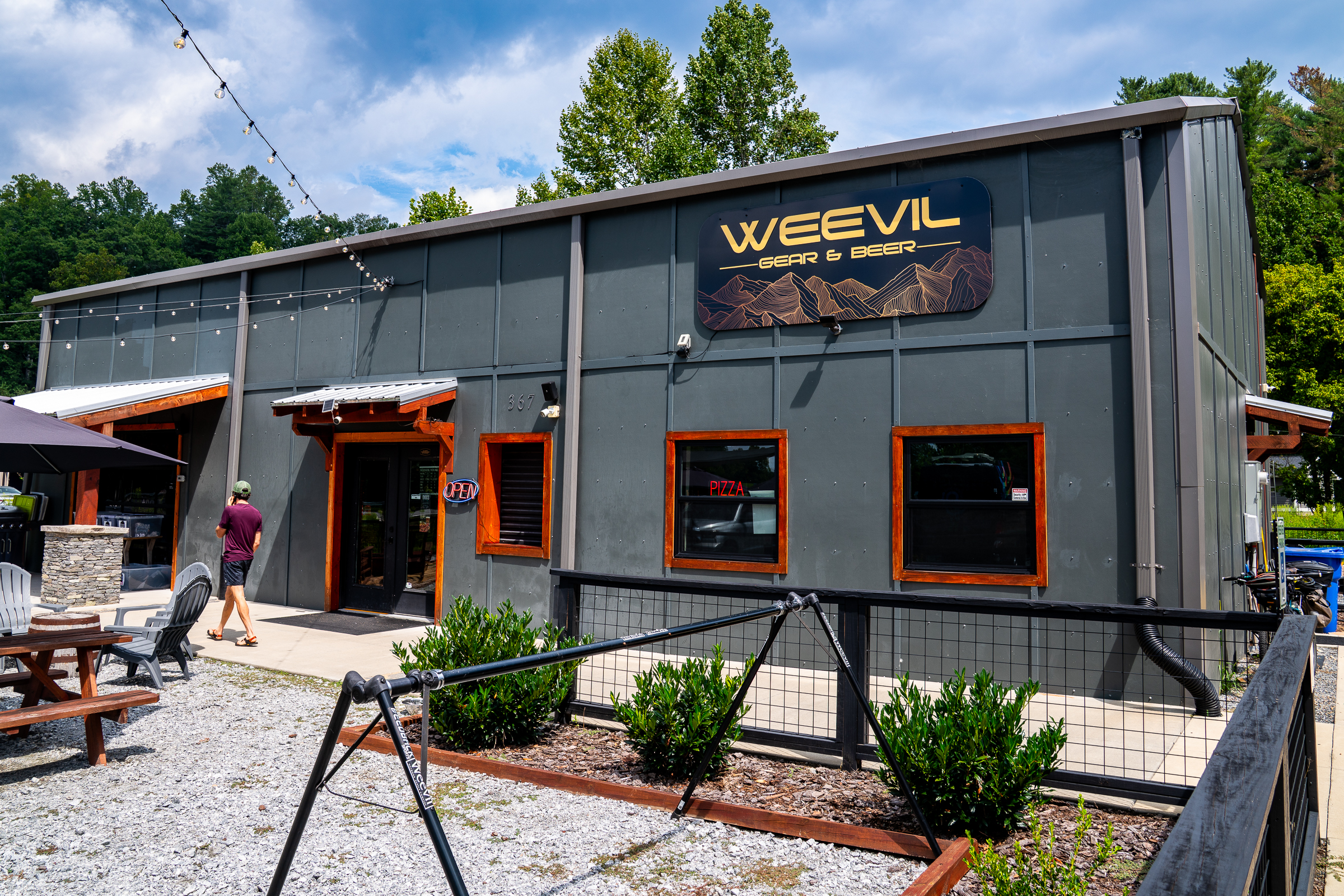
Weevil Outdoor: Weevil doesn’t sell bikes, but they offer quality apparel and accessories, plus pizza, sodas, and beer, with indoor seating and a large outdoor patio.
At the bottom of the Black Mountain Trail, you’re back where you started the Thrift Cove climb, about 5.5 miles into the ride. Most riders will be up for another descent, and Sycamore Cove is a popular choice. The climb up Grassy Road is about a mile long and gains 350 feet, leading to a fast and fun descent down Sycamore Cove.
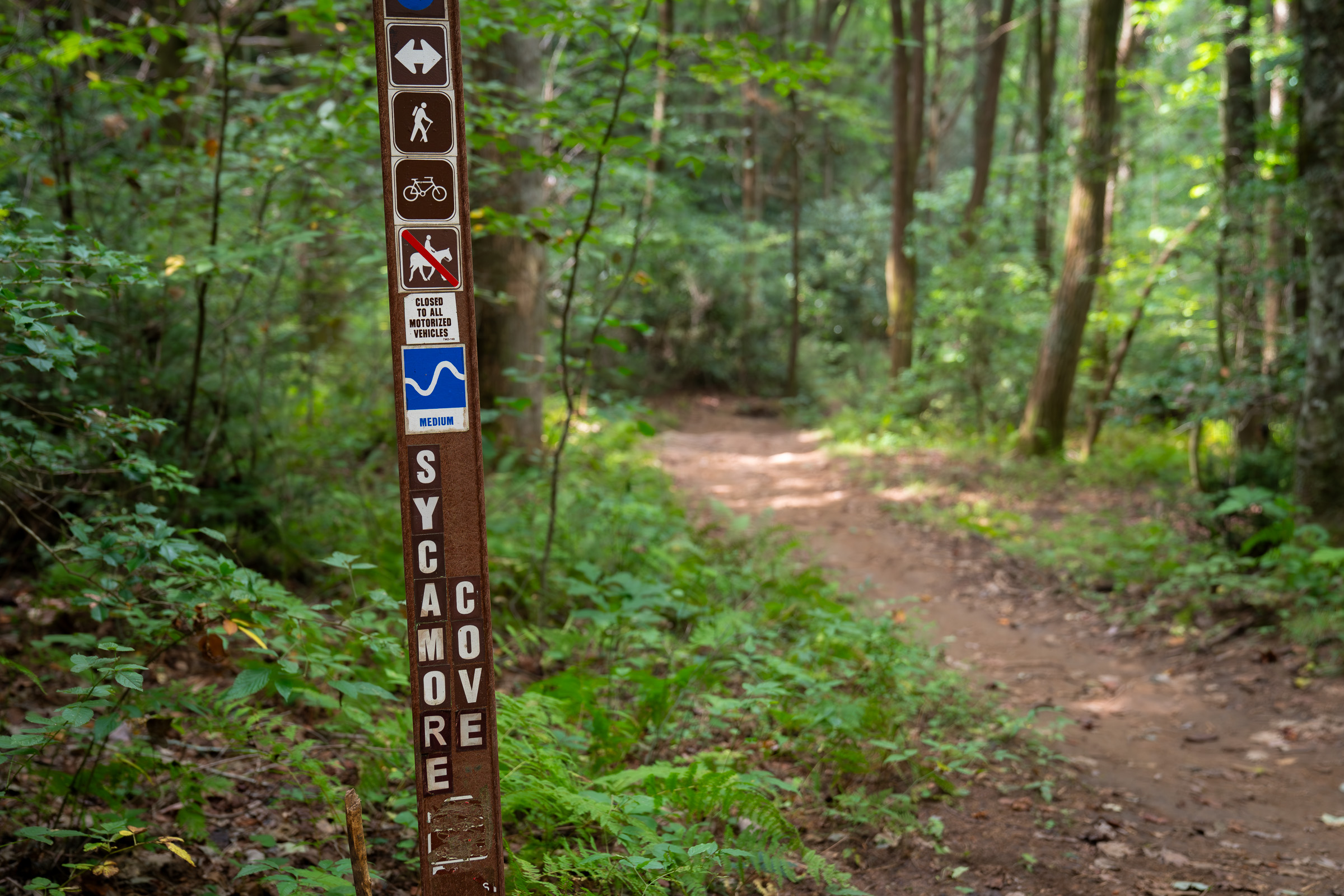
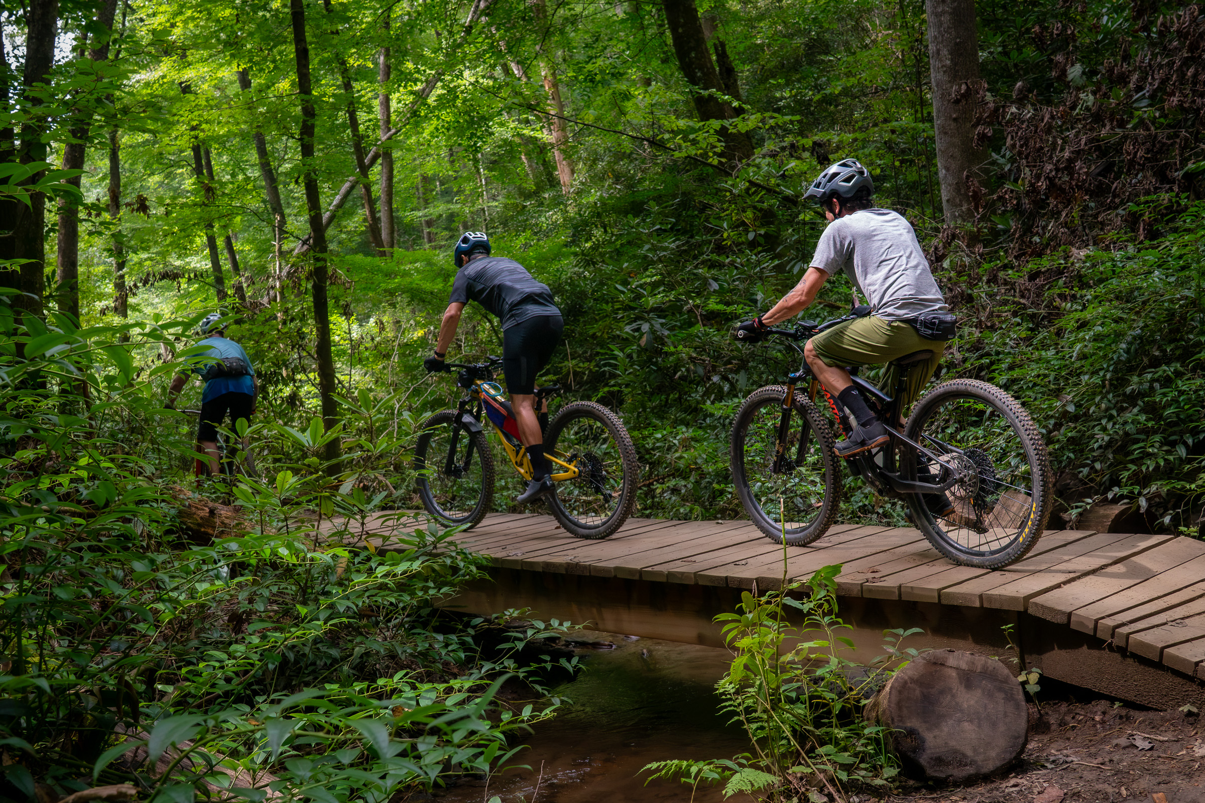
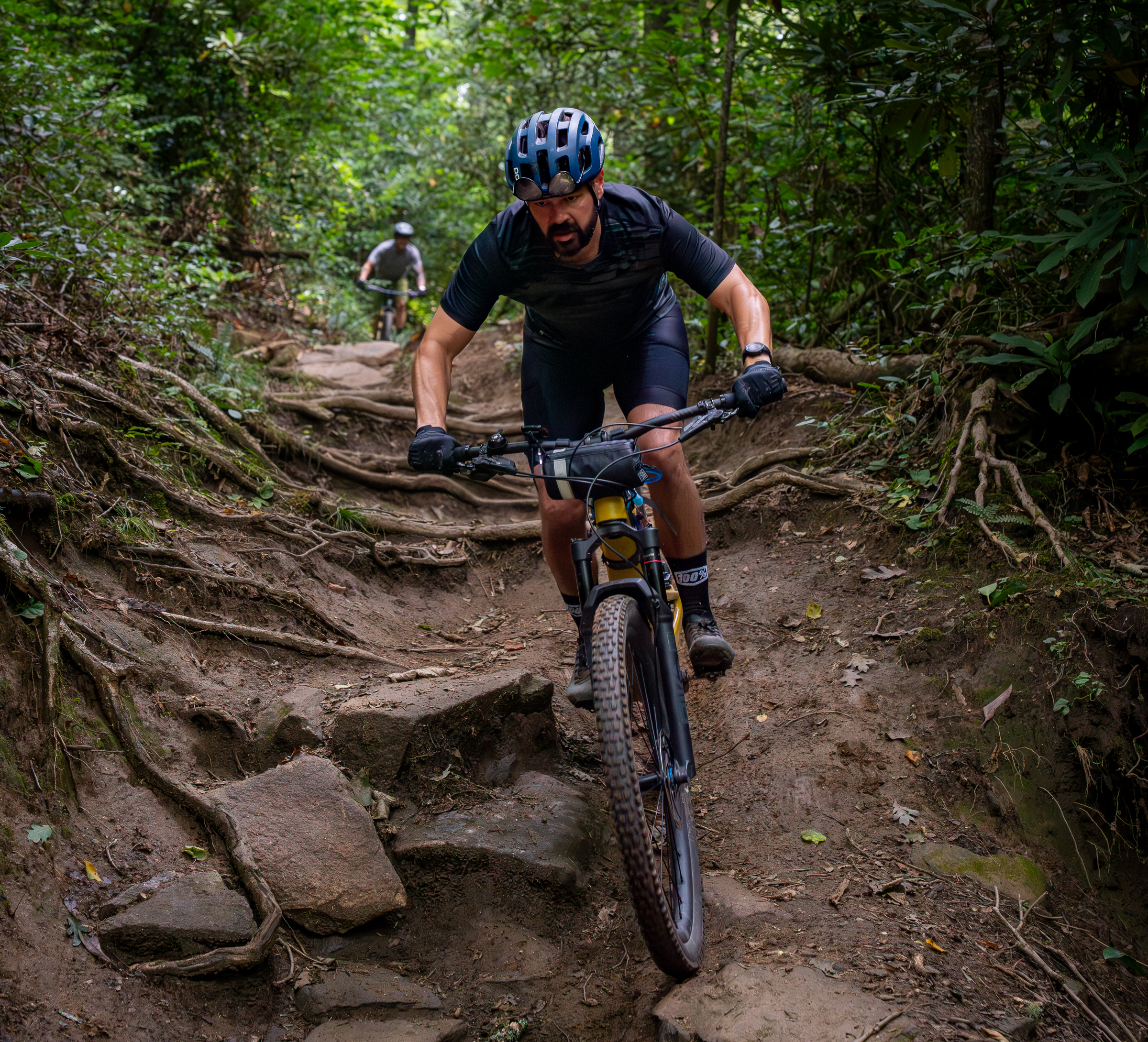
The Sycamore Cove Trail serves up narrower singletrack than Black Mountain as it drops along Starens (also spelled Starnes) Branch Creek. Toward the bottom, there’s a spicy section or two with stair-step roots and rocks that beginners can choose to walk.
From the bottom of Sycamore Cove, it’s an easy pedal back along the river for post-ride beverages at The Hub and lunch at Pisgah Social across the street, where riders will find a food-hall style setup with smoked BBQ and smash burger options and plenty of indoor and outdoor seating.
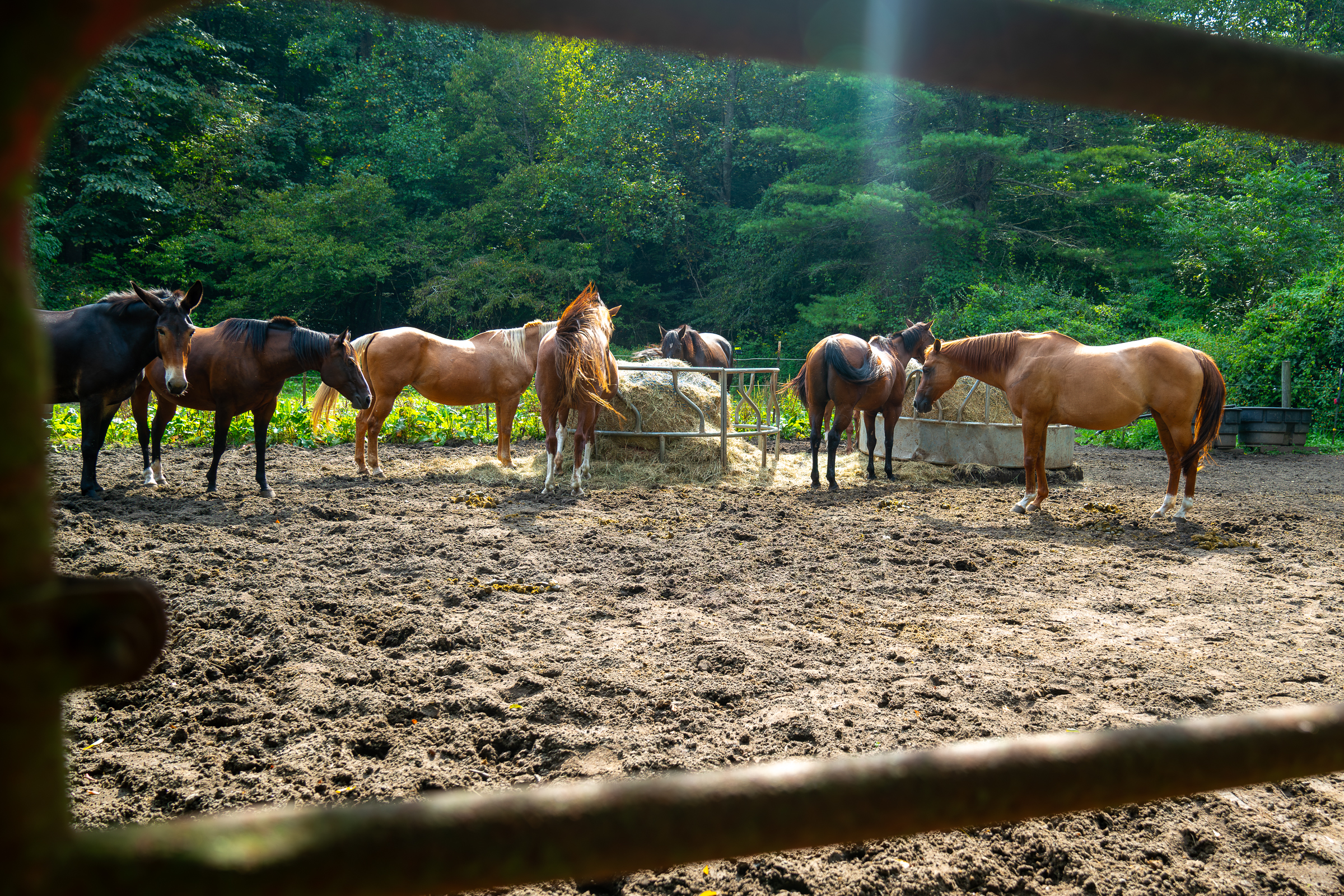
For the full Black Mountain experience, pedal up from the horse stables
While Lower Black Mountain is a great trail, it’s over quickly, and strong riders will likely want to experience more of Black Mountain. Riders refer to higher sections of the Black Mountain Trail as Middle and Upper Black. Upper Black rides along a high ridge and delivers peek-a-boo views in the fall, though most mountain bikers skip it and choose Middle Black for its extended descent into the Lower Black Trail.
Middle Black is similar to Lower Black, but slightly faster, with more wide-open sightlines. Whoops and grade reversals make for fun jumps on the way down, and overall the trail is not very technical relative to other advanced trails in Pisgah.
To ride the full descent, pedal along US Highway 276 from the Black Mountain Trailhead for about a mile and turn onto the gravel Avery Creek Road. The road is relatively flat until you reach the horse stables, which is where the climb truly begins.

Food and drinks
Among the many options for delicious local food and drinks in Brevard, these are some of mountain bikers’ favorites.
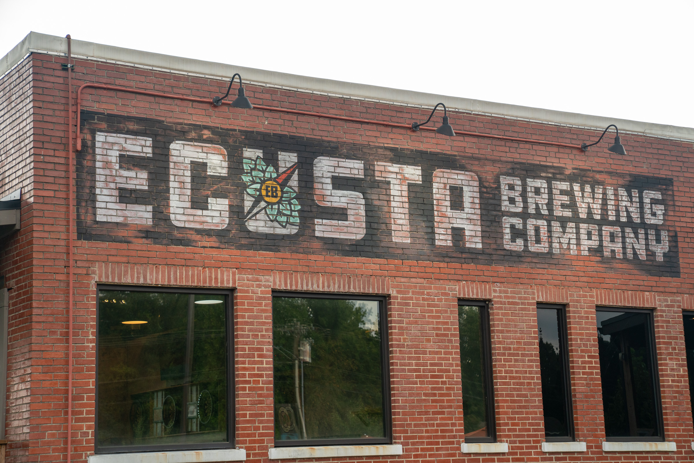
Ecusta Brewing Company: Ecusta brews their own beer and has more than a dozen options on tap. A walk-up window serves delicious tacos, burritos, and nachos. There’s plenty of seating inside, outside, and on the covered front porch.
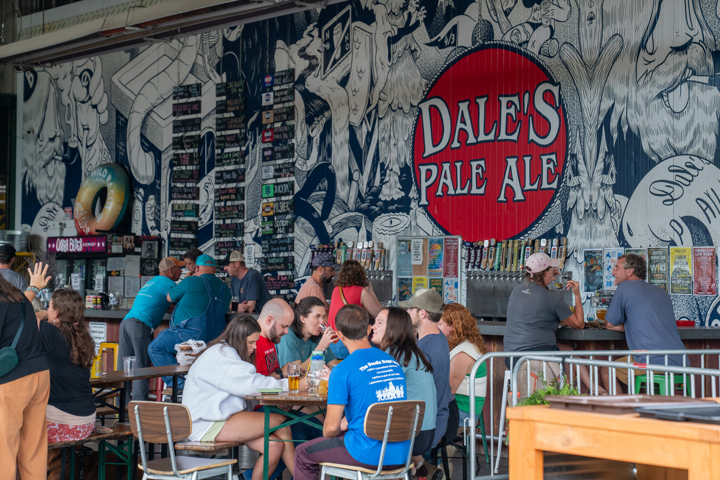
Oskar Blues Brewery and Taproom: The brewery serves as Oskar Blues’ East Coast outpost where industrial vibes meet southern hospitality. The covered open-air bar boasts dozens of taps, and an on-site food truck serves up delicious burgers and chicken tenders.
Morning Social: Morning Social is a great spot for breakfast, brunch, and lunch with indoor and outdoor seating, a full bar, and strong coffee. Be sure to try the biscuits and gravy or one of their skillet creations to fuel up before a big day of riding.
Pisgah Social: Choose from wood-smoked BBQ from Cheef Eats and flavorful smash burgers from Smash NC, both located at Pisgah Social. There’s a bar inside too, with plenty of seating indoors and out.
From the stables, climb up the gated Clawhammer Road, which is quiet and scenic, though steep at times. Most riders take a right on the Maxwell Cove gravel road to ride Middle Black, though if you want even more Black Mountain (and don’t mind hike-a-bike), continue up Clawhammer to Buckhorn Gap. This gives you the full Black Mountain descent, though many riders decide the push up Upper-Middle Black isn’t worth the squeeze for a slightly longer descent.
Ride DuPont State Recreational Forest
Hopefully you didn’t burn all your matches on the Black Mountain ride because DuPont State Recreational Forest is next on the agenda. DuPont, as local riders call it, is easily the most popular after-work ride spot in the region, and it’s not unusual to see trailhead parking lots full of cars on a weekday afternoon. The stoke is high for an afternoon or evening ride, and if you time it right, you’ll get some of the best golden-hour photos and sunset views of the trip right here.
DuPont is a state forest, separate from the Pisgah National Forest, though don’t let that fool you: it’s enormous and offers more trails than you could hope to ride in a week. In fact, the official DuPont map lists 59 named trails, taking riders through varied zones ranging from pine and deciduous forests to exposed granite domes. DuPont also boasts incredible waterfalls and scenic views, making it a popular destination for hikers too.
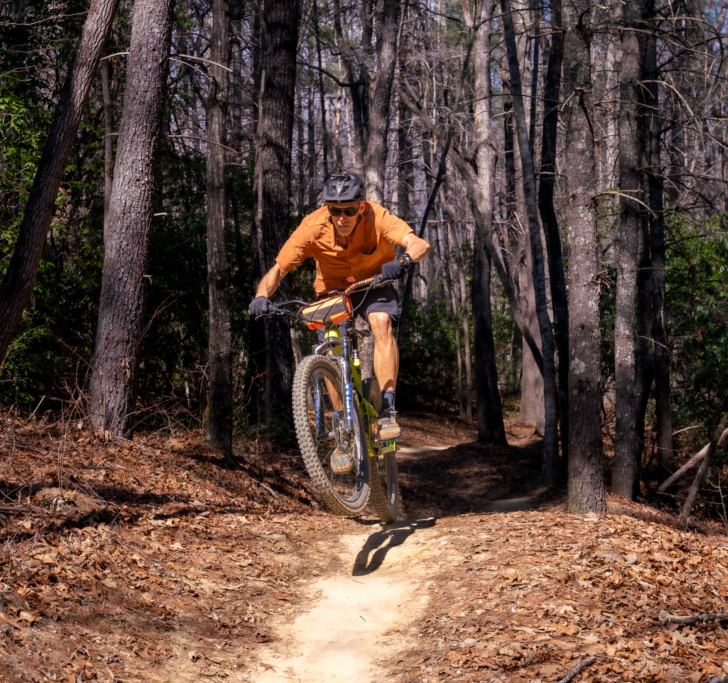
Ridgeline Trail is the iconic DuPont descent
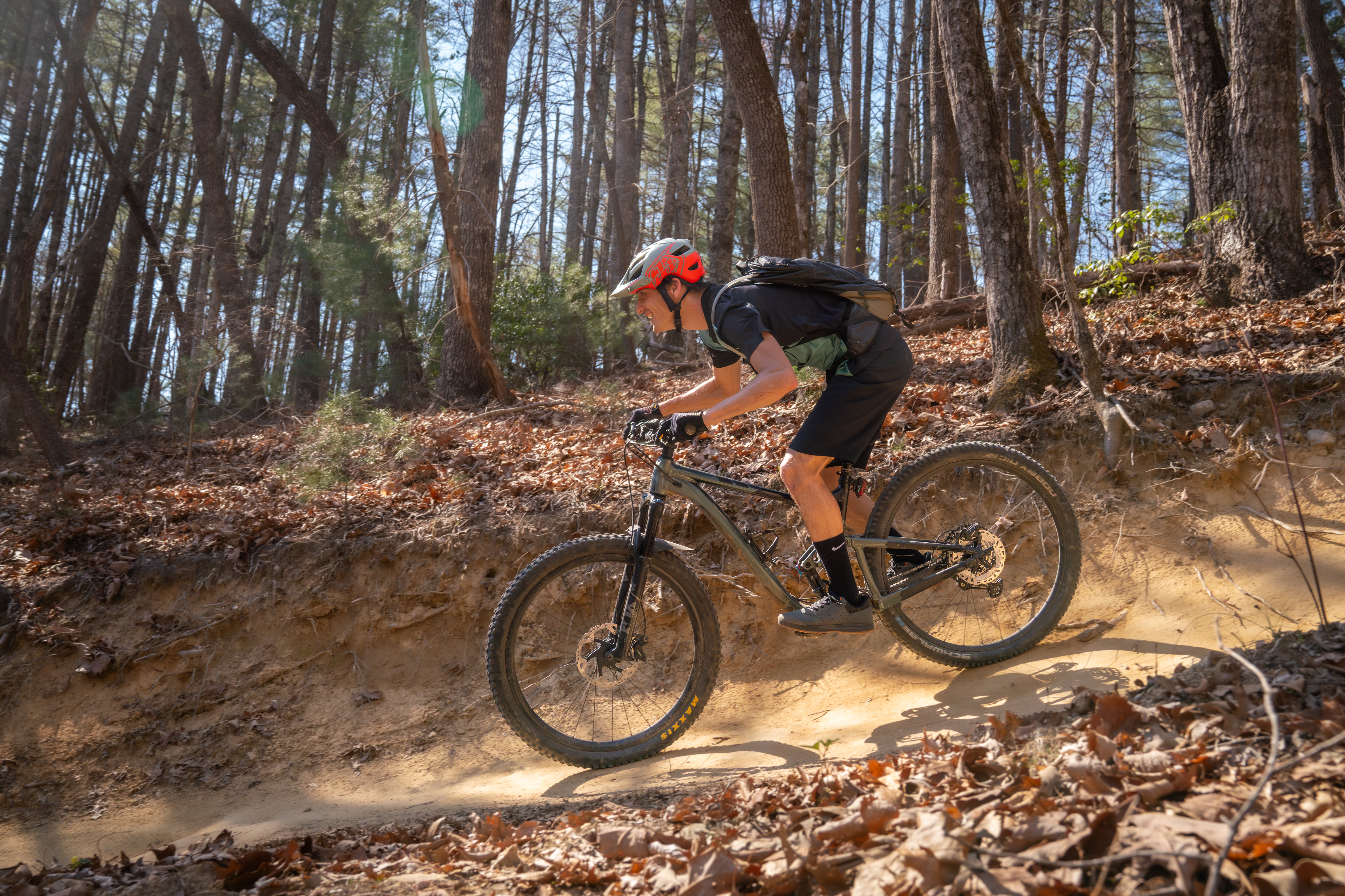
The 1.4-mile-long Ridgeline descent is DuPont’s most iconic mountain bike trail, thanks to its smooth, fast flow. Never steep, the trail takes riders on a nearly pedal-free roller-coaster ride through the forest. Ridgeline dips, swoops, and carves its way down to the Lake Imaging Trailhead, making it the perfect finish to a DuPont ride.
Of course, there’s a lot more to ride from the Lake Imaging Trailhead, and what goes down must come up. With dozens of marked trails spider-webbing out from the parking lot, riders can put together their ideal route to the top of Ridgeline. One of the most direct and straightforward routes takes the Jim Branch trail to Buck Forest and Hickory Mountain gravel roads to the start of Ridgeline. It’s a roughly five-mile loop with about 500 feet of climbing, so most riders should be able to complete it in about an hour.
If you have a bit more time while riding in this zone, Rocky Ridge is an advanced trail that features a steep, technical descent that’s a lot of fun. The intermediate Shoal Creek Trail is a fun rip down from Guion Farm and is easy to add to the main Ridgeline loop.
For exposed granite riding and incredible views, Big Rock and Cedar Rock trails are worth the effort
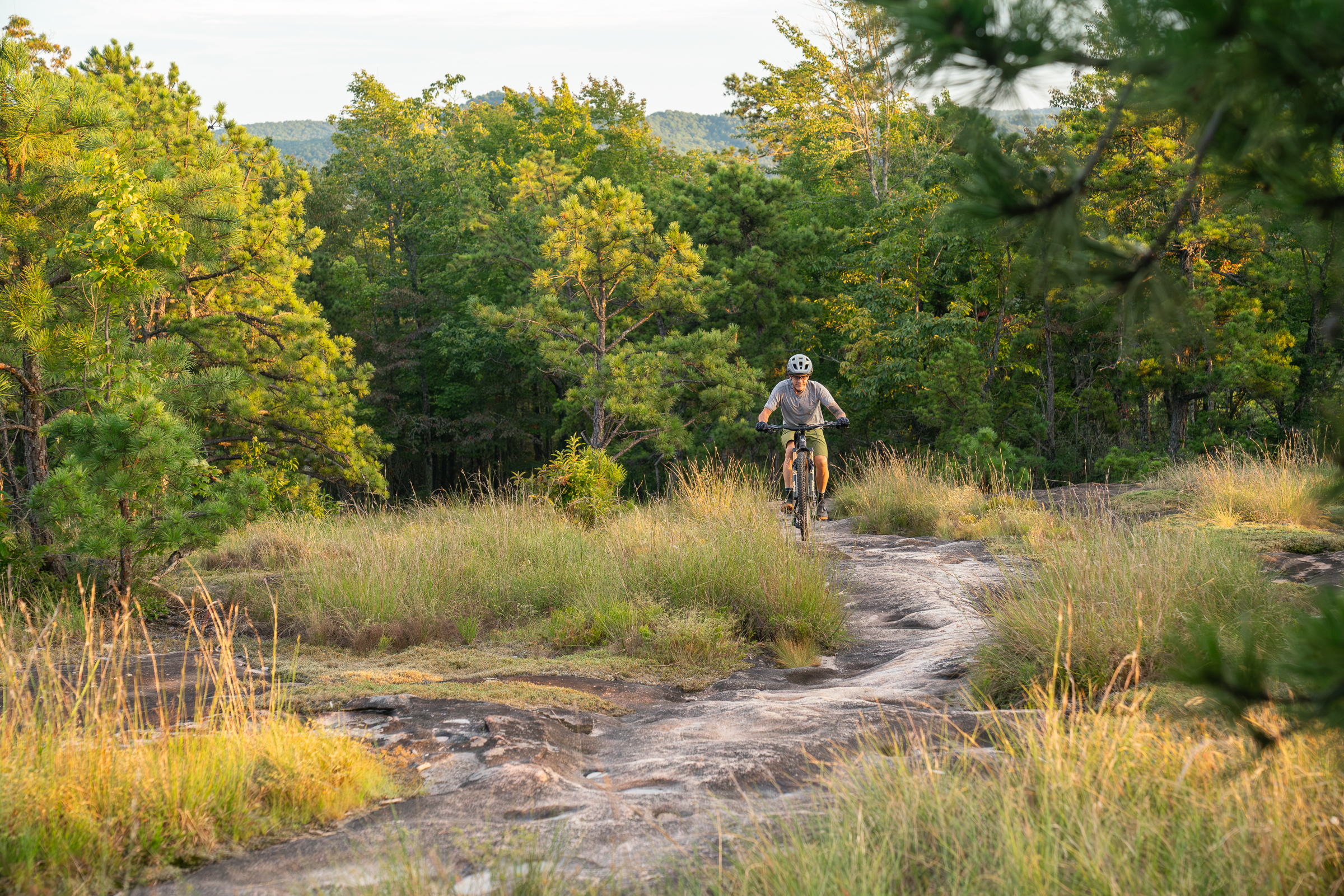
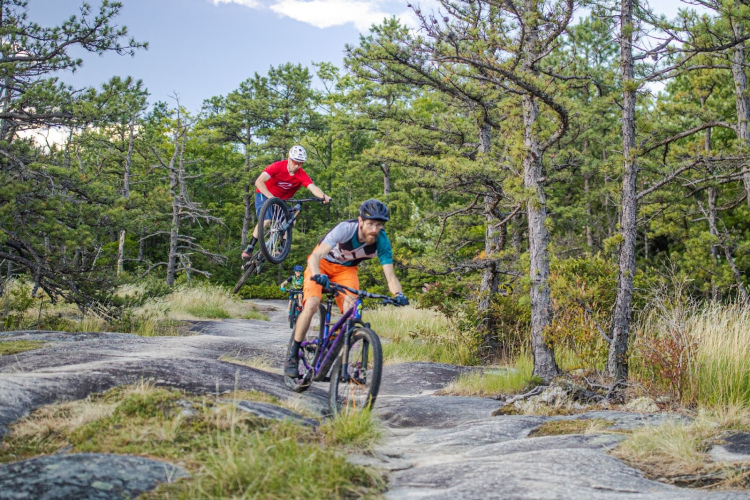
Chances are you’ve seen photos of some other-worldly trails in DuPont State Recreation Forest, and most, if not all, of these were shot along the Big Rock and Cedar Rock trails. These trails are not for the faint of heart due to steep, rocky step-ups and root drops, and there’s no shame in walking tricky features.
Up top, riders get 360-degree views from a massive granite dome pocked with islands of gnarled trees and plants surviving on water trapped in depressions in the rock. The climbs and descents on the granite are steep at times, though there’s grip for days to keep you rolling through it all.
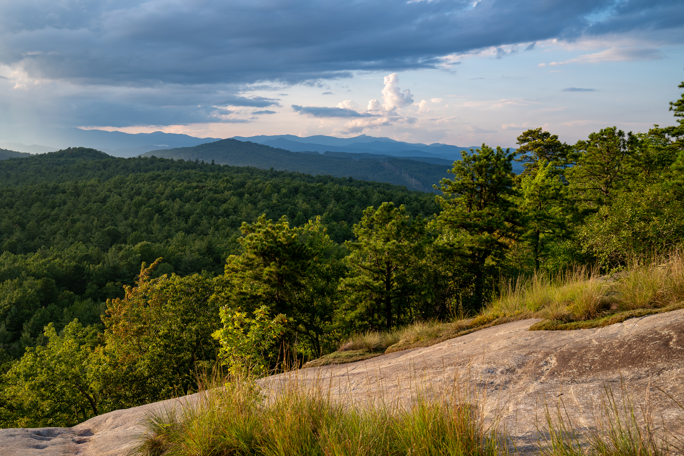
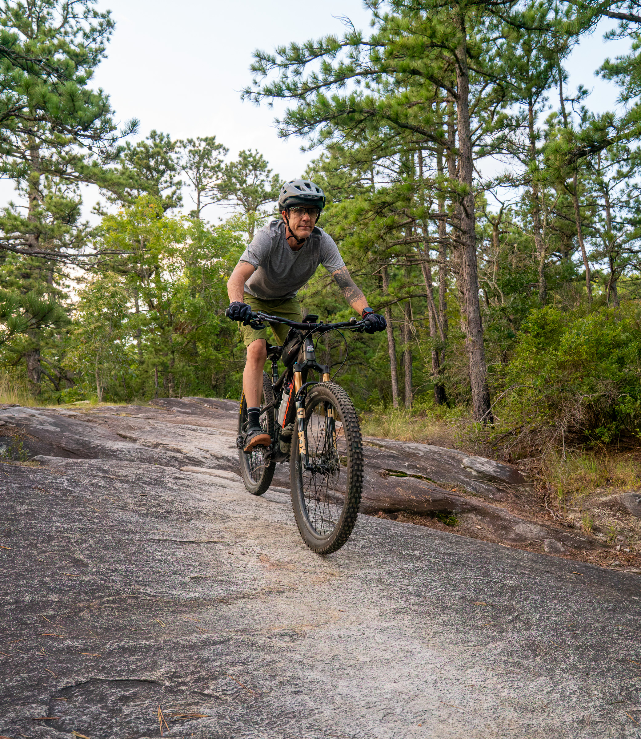
Though you can ride from the trails in the Lake Imaging area to Big Rock, I don’t recommend it. Not only is it a long ride, but you’ll also need to study the map closely to work out all the turns. Instead, park at the Corn Mill Shoals parking area to experience the trails in this part of the forest, which feels very different from the Ridgeline side. I recommend checking with a local bike shop for a more specific DuPont route recommendation tailored to your skills and interests.
After a long day riding some of the best trails in the area, head over to the Oskar Blues Brewery Taproom for food and drinks. The covered outdoor seating area is massive, with no-frills picnic tables and activities for the kids in the grass. With taps as far as the eye can see and a fast-service food truck parked on site, last call will come long before you’re ready to leave.
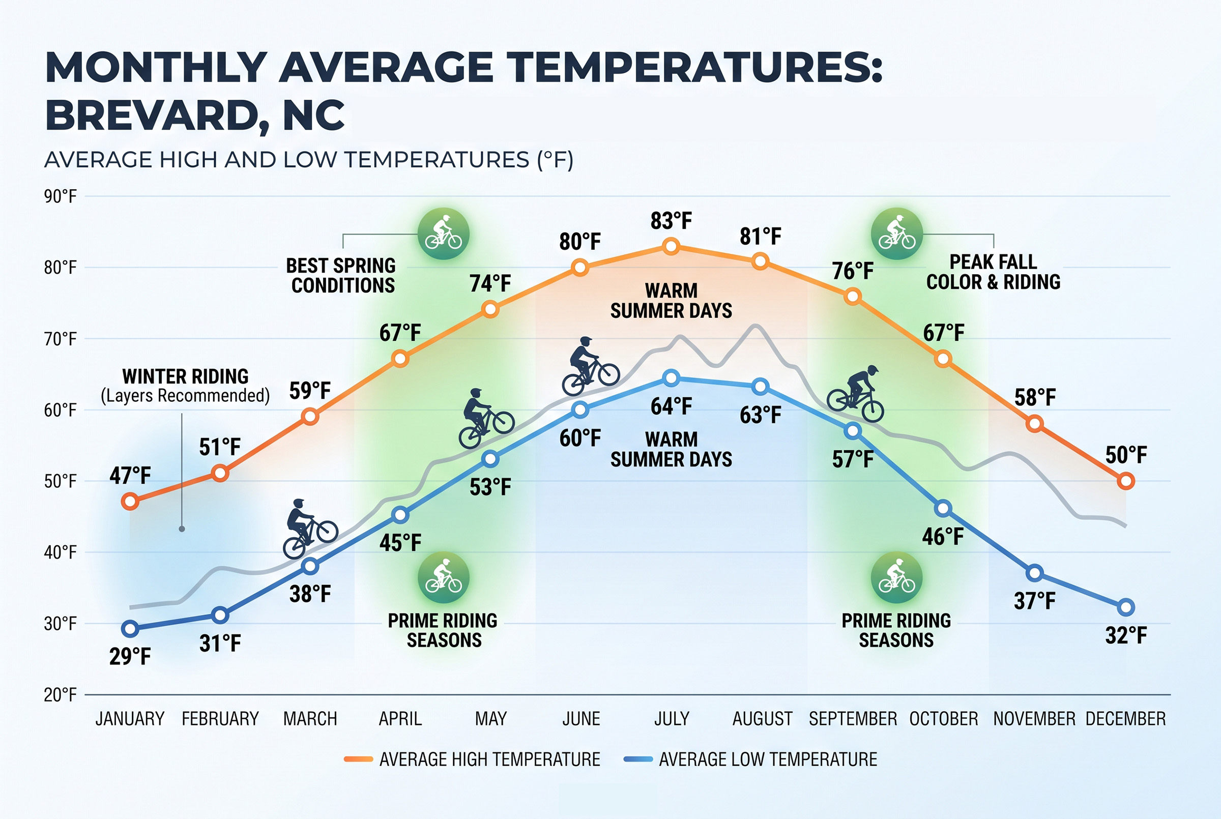
Be prepared for the rain and keep your plans flexible
Portions of Pisgah National Forest are considered a temperate rainforest, and the region receives about 70 inches of rainfall each year. There’s a good chance it will rain at some point during your visit, so bring rain gear on every ride.
Because it rains often, forest trails are generally built to handle wet-weather riding, but always use your best judgment. In the summer months, afternoon thunderstorms are common, so consider riding early in the day and adjust your plans according to the forecast.
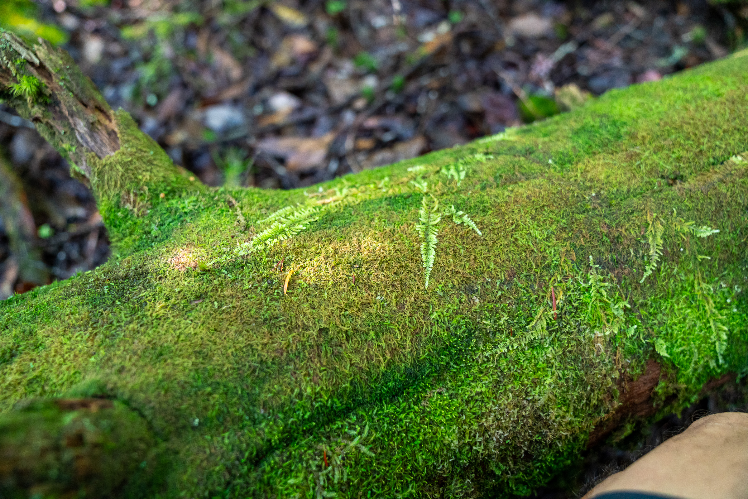
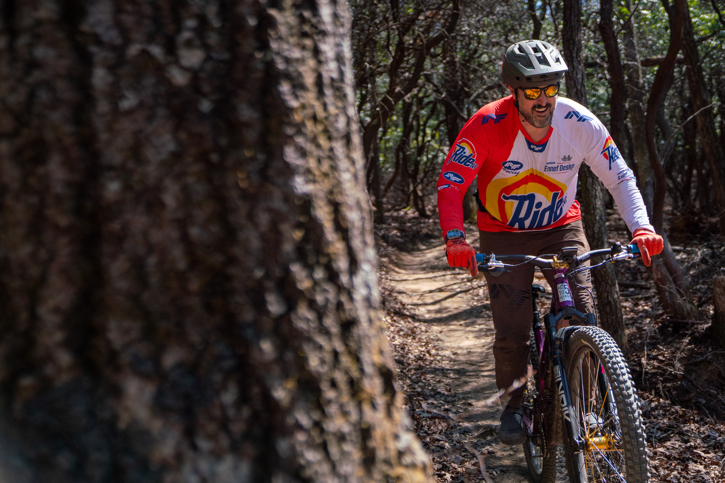
Peak mountain bike conditions typically occur in the fall, with drier conditions, warm days, cool nights, and brilliant fall colors. Beginning in March, daytime temperatures are generally in the 60s, and you’ll experience some of the best views just before the trees leaf out.
With mild winter conditions, Pisgah is also a popular winter mountain biking destination for riders in the Northeastern US and Eastern Canada.
Day 2: Butter Gap
Pisgah Area SORBA spearheaded a major reroute of the Butter Gap trail in 2023, and it’s quickly become one of the most popular rides for forest visitors. The ride starts at the Fish Hatchery, a popular trailhead for hikers as well. The Hatchery is currently under construction, but parking is open, and temporary signage directs riders to the trails.
Pisgah Area SORBA board member West says Butter Gap is a great ride because “you get to feel like you’re in the backcountry. You get to feel you’re out in the wild — because you are — but the trail and the terrain lends itself to more intermediate riders.”
Unlike legacy trails within the forest, the scenic and entertaining Butter Gap trail is one of the few trails that was machine-cut for a modern flow. Riders start by pedaling up the Davidson River trail, an old roadbed that turns into a gravel road, gradually climbing about 400 feet over three miles to the turnoff for the Butter Gap loop.
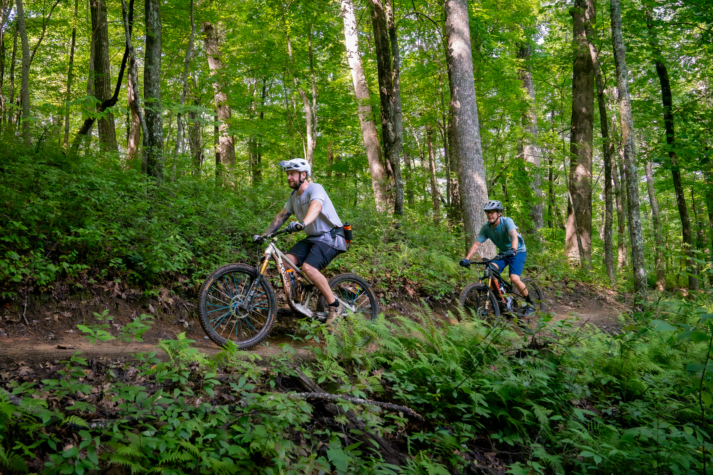
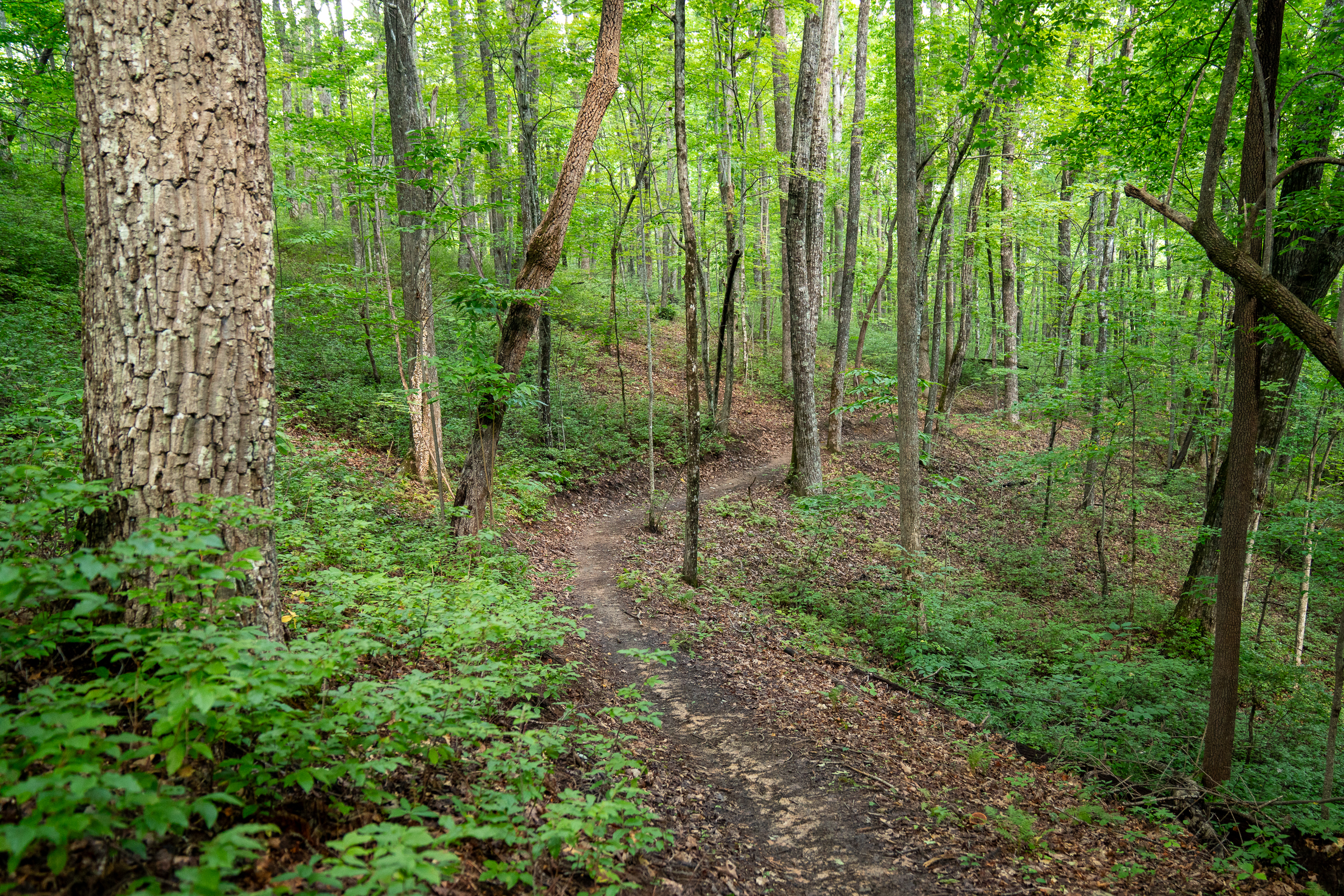
Most visitors choose to take a left onto Searcy Creek Road to make a roughly 15-mile loop with 1,700 feet of climbing. However, many local riders continue up Davidson River Road a little farther to the intersection with Long Branch Trail for a little extra singletrack and slightly less gravel, adding a couple of miles and another 300 feet of climbing. Everyone ends up on Searcy Creek Road, which gradually fades into a singletrack trail. Benchcut singletrack hugs the mountainside as the trail climbs toward an intersection with the Art Loeb hiking trail.
Along the upper reaches of the Butter Gap loop, the trail pinballs between massive sunken boulders connected with expertly placed stones. As the trail pitches downhill, riders swoop beneath gnarled rhododendron branches, flowing from one turn to the next in metronomic rhythm. The roughly mile-long descent gives way to one more short singletrack climb before the trail turns (mostly) downhill for good.
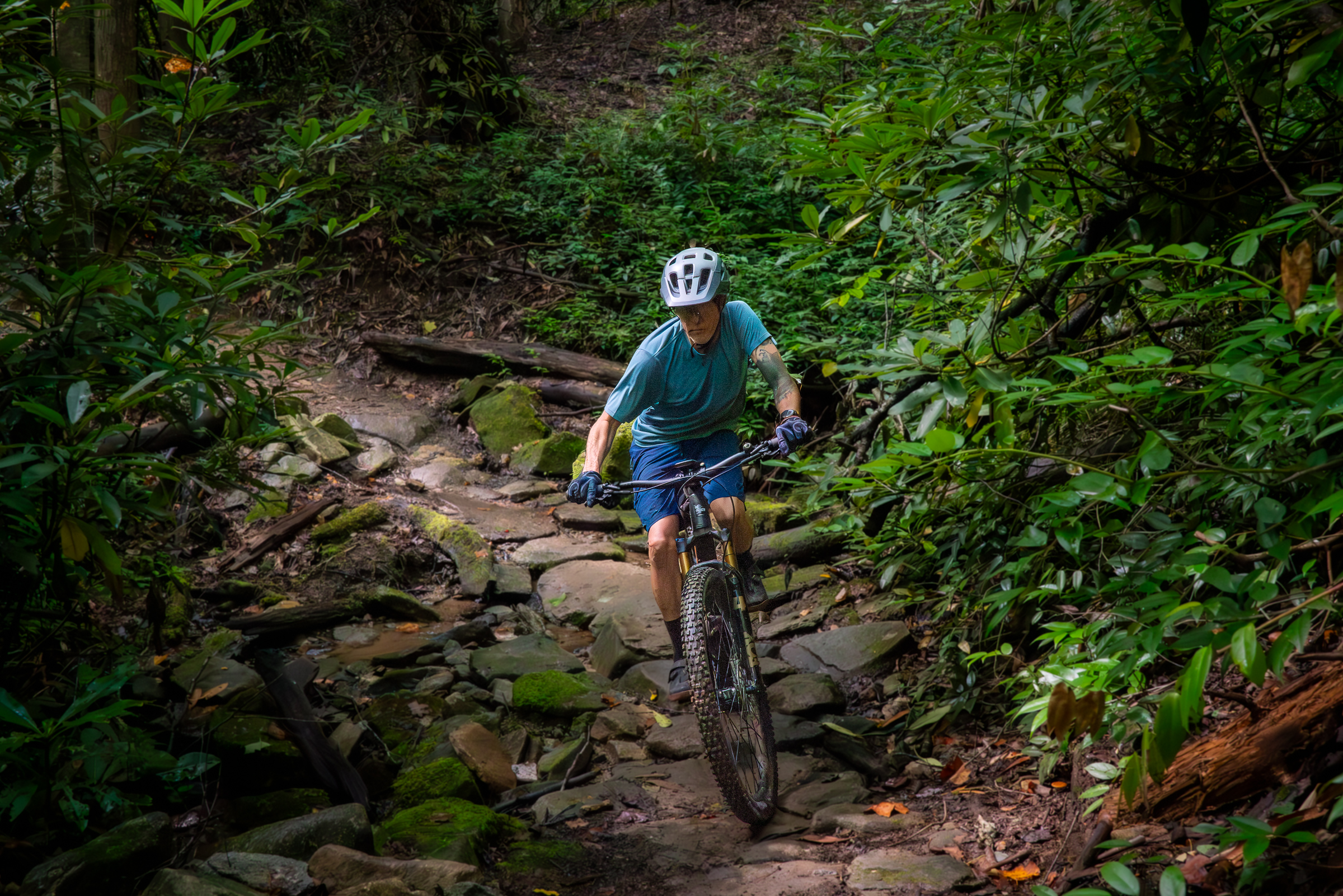
The lower reaches of the Butter Gap trail alternate between lush and dark, moody traverses and steeper, sweeping arcs through remote hollows. In the distance, a gurgling stream announces its presence before the trail dips into a shallow, rocky crossing.
Riding the main 15-mile Butter Gap loop should take an intermediate rider about 2.5 to 3.5 hours.
The day is not done!
This is the time in the trip to soak in a creek, peep some waterfalls, catch some rays on a patio with a beverage in hand, or all of the above! After the ride, spin about two miles down the paved road to the Coontree Picnic Area for lunch and a dip in the cool, clear Davidson River. Looking Glass Falls is located right up the road from Coontree and is one of the larger and more accessible waterfalls in the forest.
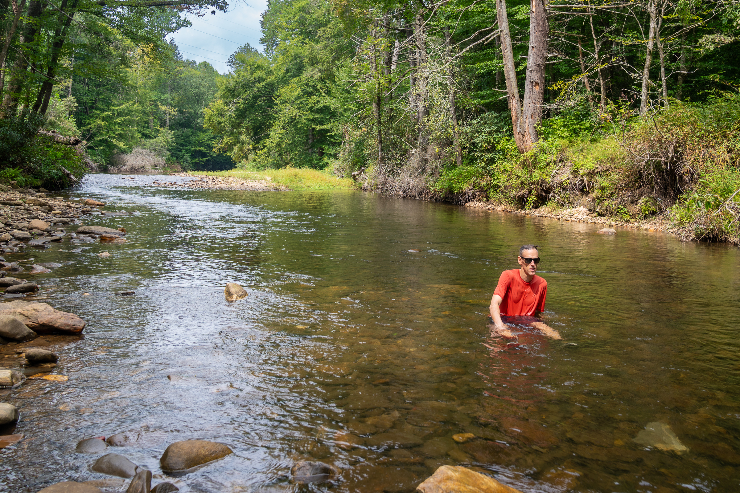
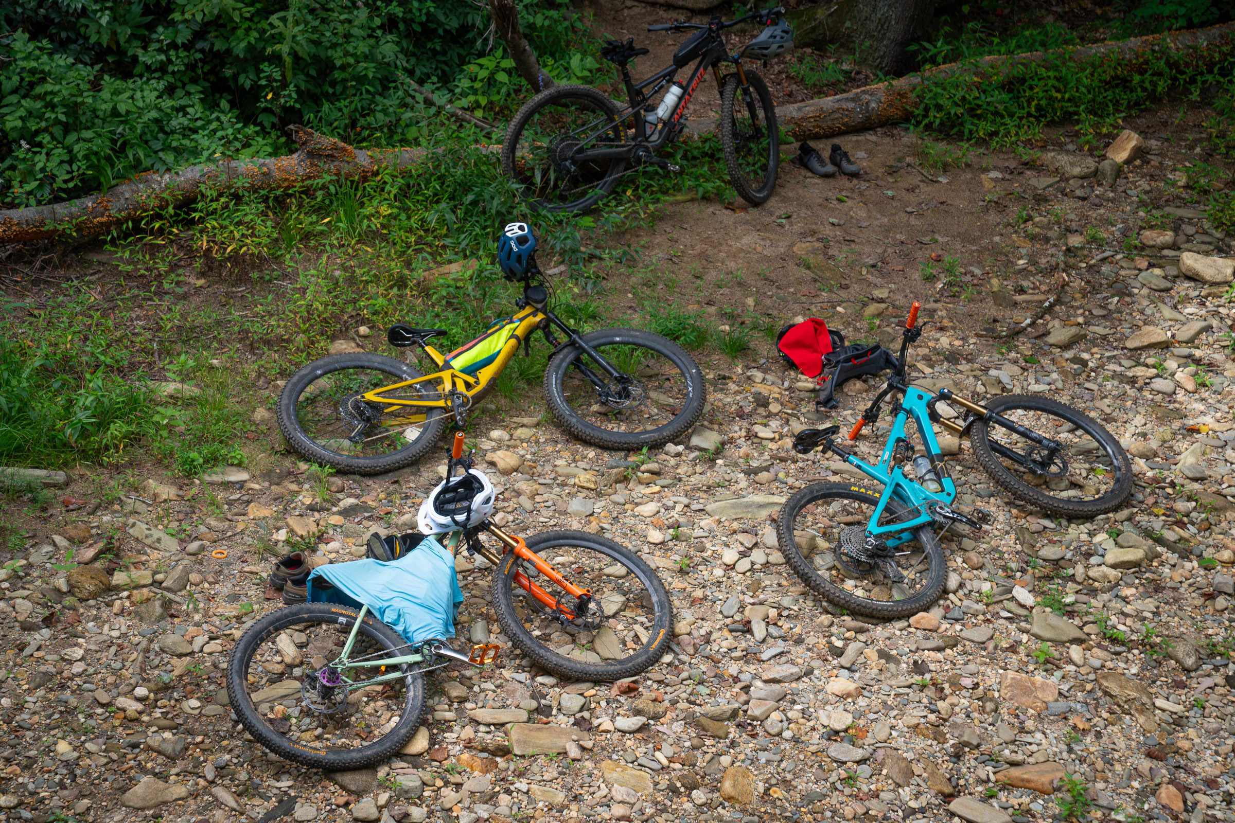
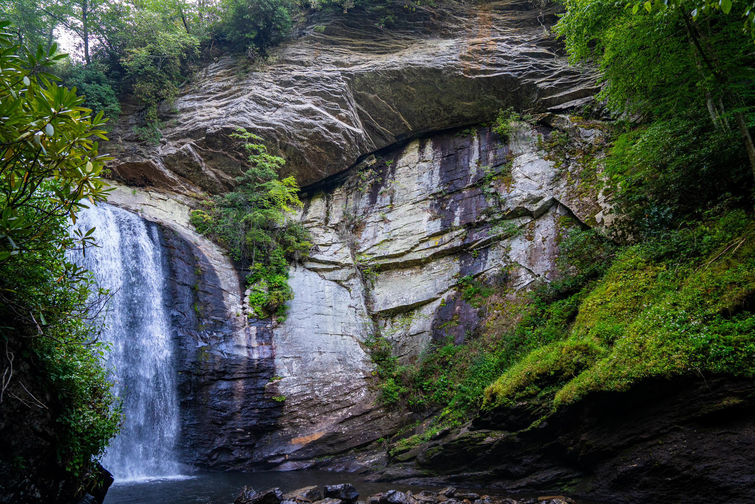
Many popular hikes start in this zone along Fish Hatchery Road. Looking Glass Rock Trail takes you to the top of the iconic granite dome in the heart of the forest. John Rock is another shorter, popular hike with incredible views. And if it’s waterfalls you seek, check out Cove Creek and Daniel Ridge Falls, located a couple of miles west of the fish hatchery.
More great rides in the Hatchery zone
If you’re looking for another ride after Butter Gap, or want a more challenging and raw trail experience, there are more great loops to explore in this part of Pisgah National Forest. Just be prepared: mileage and even elevation rarely tell the whole story in Pisgah. It’s a good idea to add an hour or more to your ride-time estimates, even if you consider yourself an advanced rider. And be sure to save some energy for two more great rides on day three!
Cove Creek – Daniel Ridge Loop: The Cove Creek Trail offers a nice climb along the eponymous stream before jumping over to Cove Creek Road via the Cove Creek Connector trail. Follow Cove Creek to the Daniel Ridge Trail where you can choose from two descents: go right for a rockier, spicier descent or left for a smoother ride. Either way, it’s a ripping descent back down to the parking lot.
Farlow Gap Trail: Considered one of the more challenging descents in Pisgah National Forest, you’ll climb — and climb, and climb — on gravel until you reach the start of the Farlow Gap descent. It’s washed out, steep, rooty, and rocky — sometimes all at once — and includes border-strewn creek crossings that require shouldering your bike.
Where to stay near Pisgah National Forest
Brevard and the town of Pisgah Forest sit directly east of Pisgah National Forest and offer visitors plenty of lodging options. In town and along Highway 64, you’ll find both boutique and big-box hotels, along with short-term rentals throughout the area. Camping is available inside the forest at the newly renovated Davidson River Campground, which is now open.
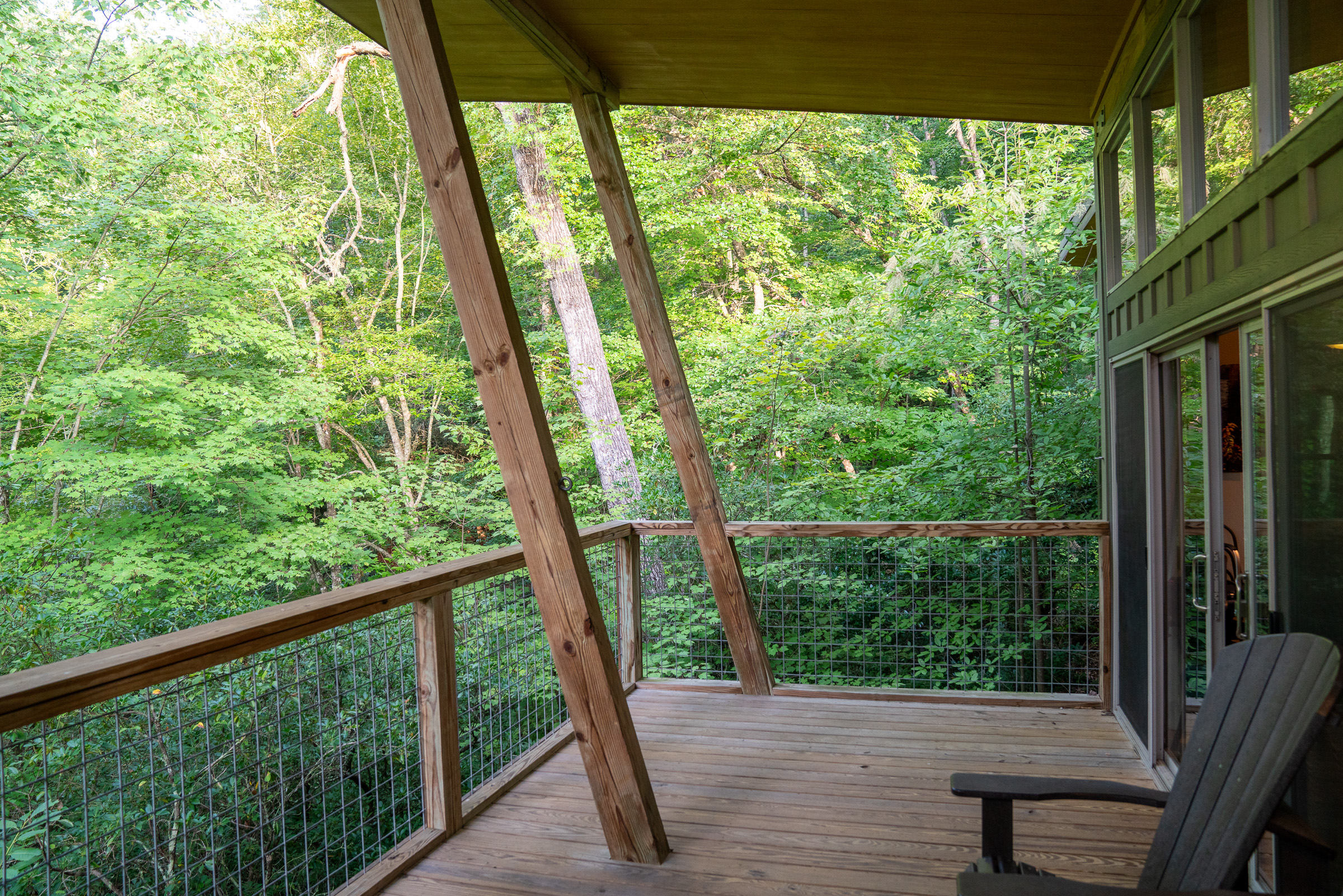
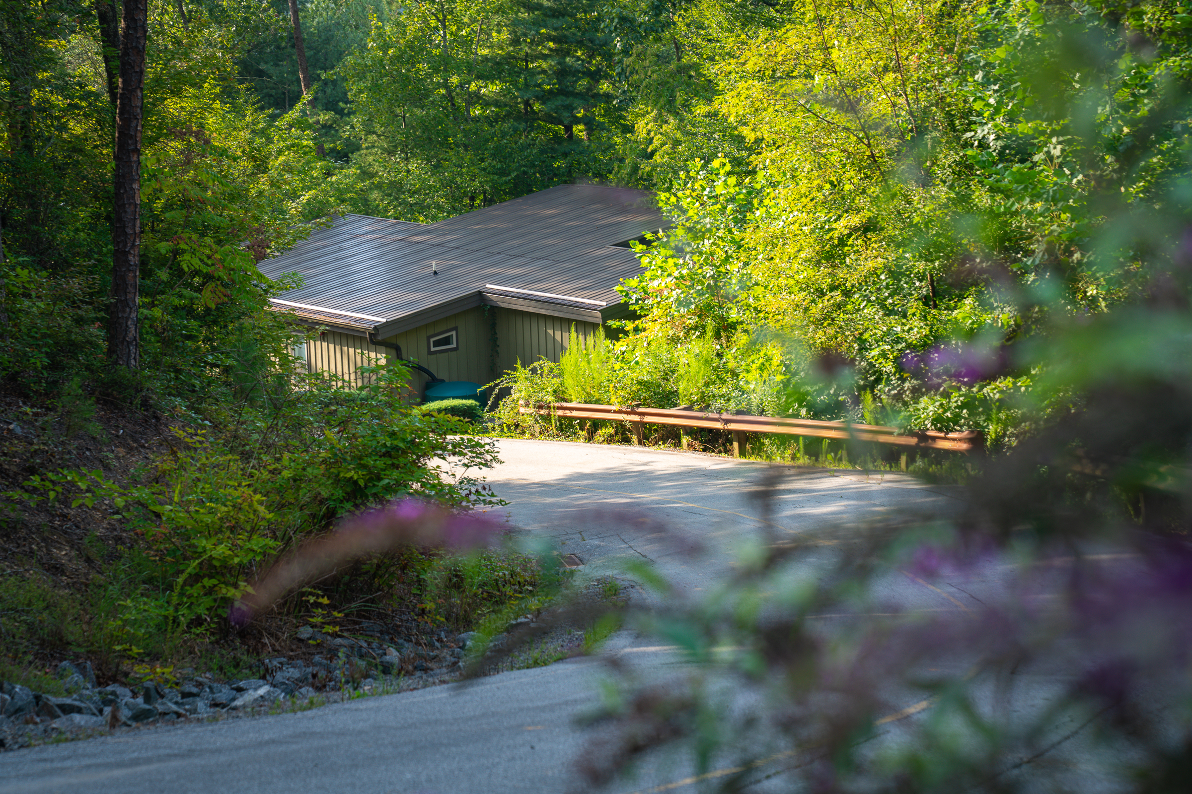
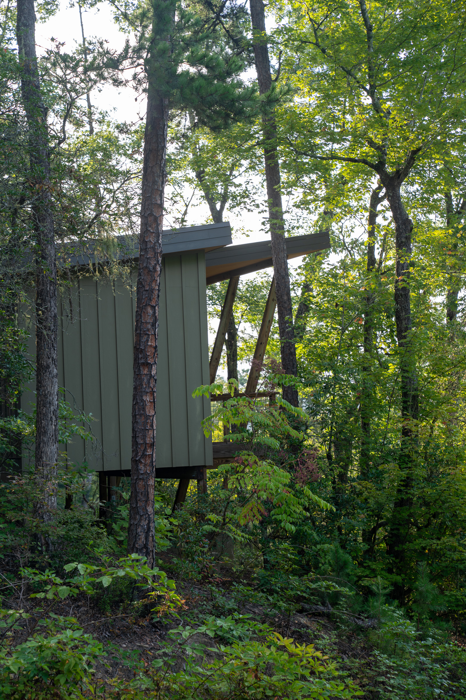
Many mountain bikers choose to rent a cabin while in town, and Pilot Cove is a popular choice thanks to its location adjacent to The Hub and the entrance to the forest. Modern efficiency, one-bedroom, and two-bedroom cabins are available to rent year-round, and guests are free to explore private trails on the property.
Day 3: Bracken Preserve and Avery Creek
Admittedly, this is an ambitious three-day mountain bike itinerary for most riders. If you can add a half day on either end of your Pisgah trip, consider moving either of these Day 3 rides to another day. As with the other recommended rides on this list, you can make these shorter or longer, depending on your preferences and timing.

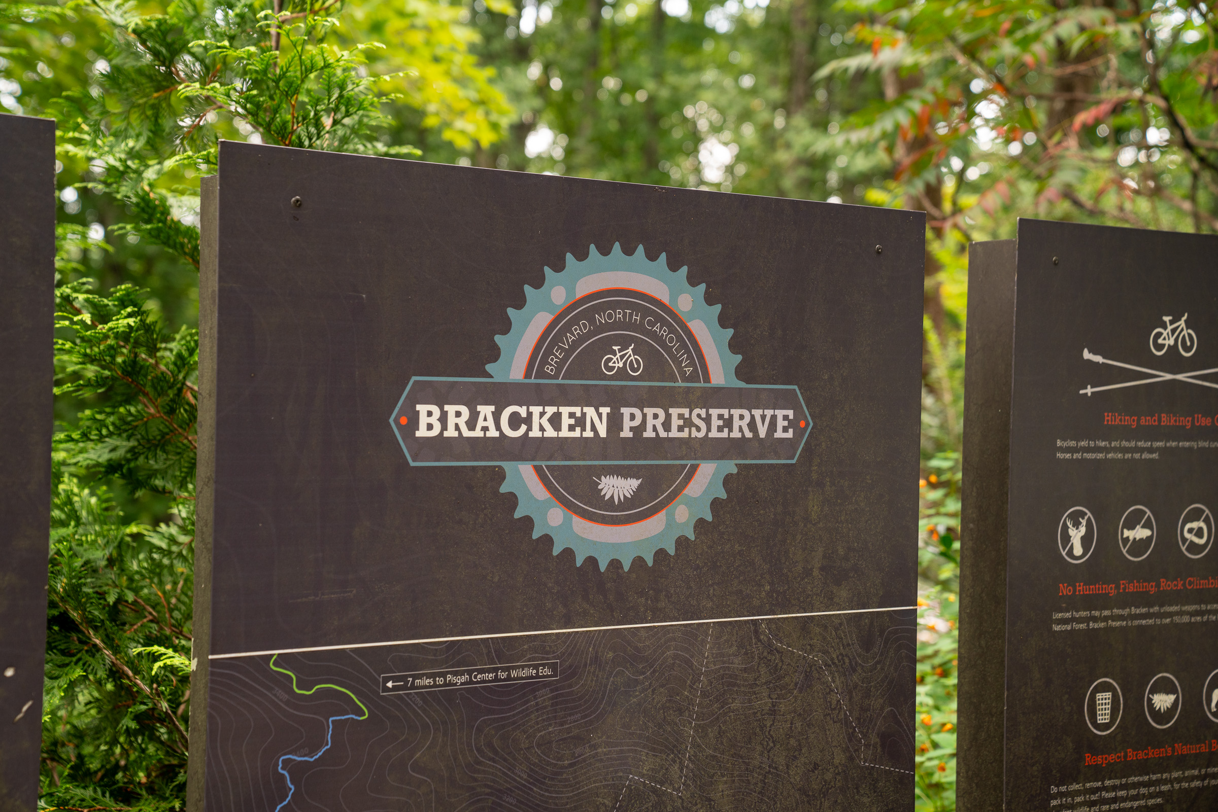
Bracken Preserve from the Brevard Lumberyard
The Brevard Lumberyard is a former industrial area tucked a few blocks from Main Street, home to the 185 King Street music venue and Noblebraü Brewing, along with Squatch Bikes and Morning Social. Park on the street and grab a cup of coffee at Morning Social, then pedal (or drive) up to the Bracken Preserve trailhead.
E-bikes are not allowed on singletrack trails in Pisgah
Within Pisgah National Forest, electric mountain bikes are not permitted on singletrack trails. However, if a gravel road is not gated and is open to vehicles, e-bikes are allowed. eMTBs are strictly prohibited on all trails and gravel roads within DuPont State Forest.
Bracken isn’t technically part of Pisgah National Forest, but as soon as you enter the preserve, you feel like you’re far, far away from town. Two miles of new trails were added to the small trail network in July, 2026, bringing the total mileage to a little over seven miles. Though that might not seem like a lot, the trails gain a surprising amount of elevation despite the network’s proximity to town.
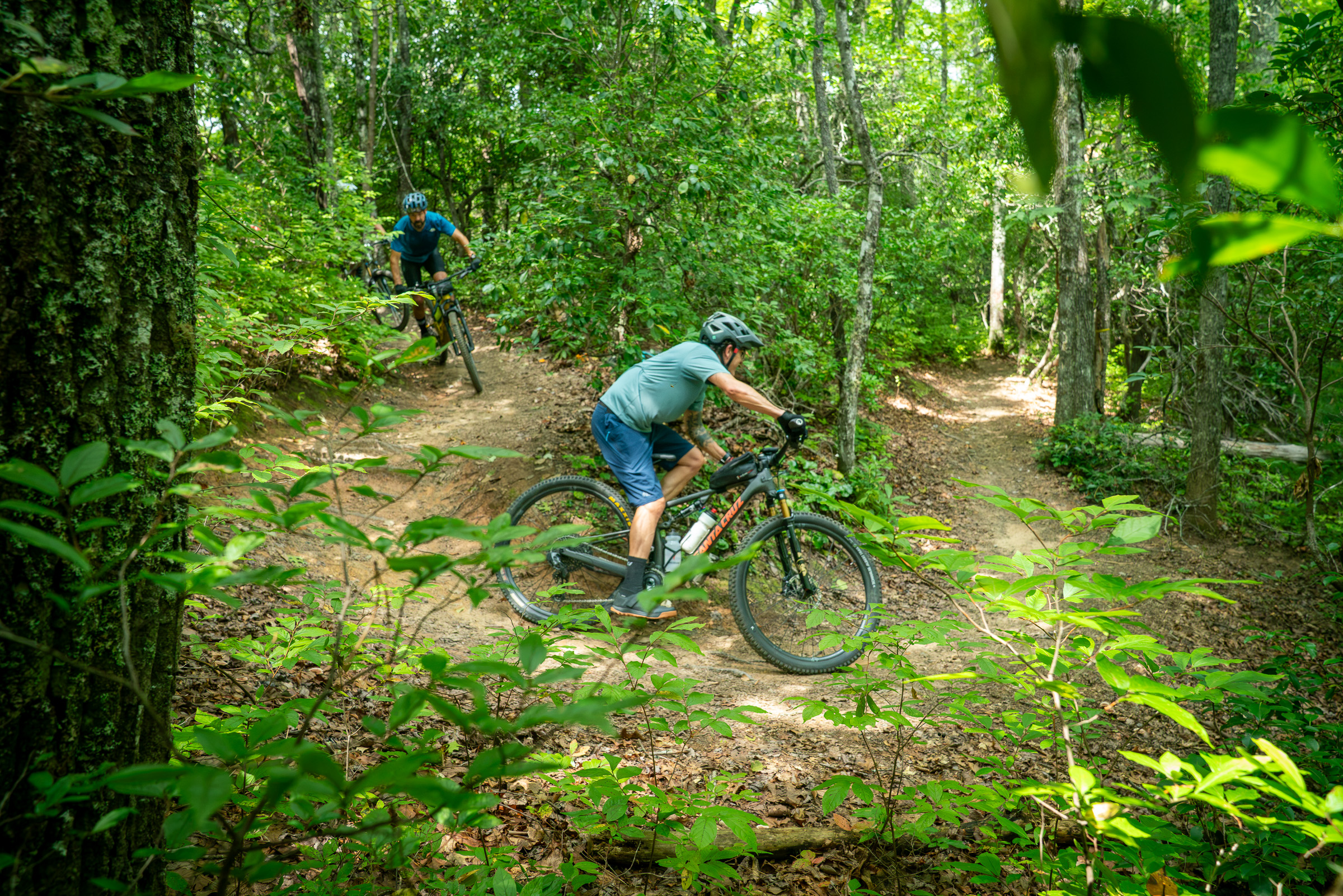
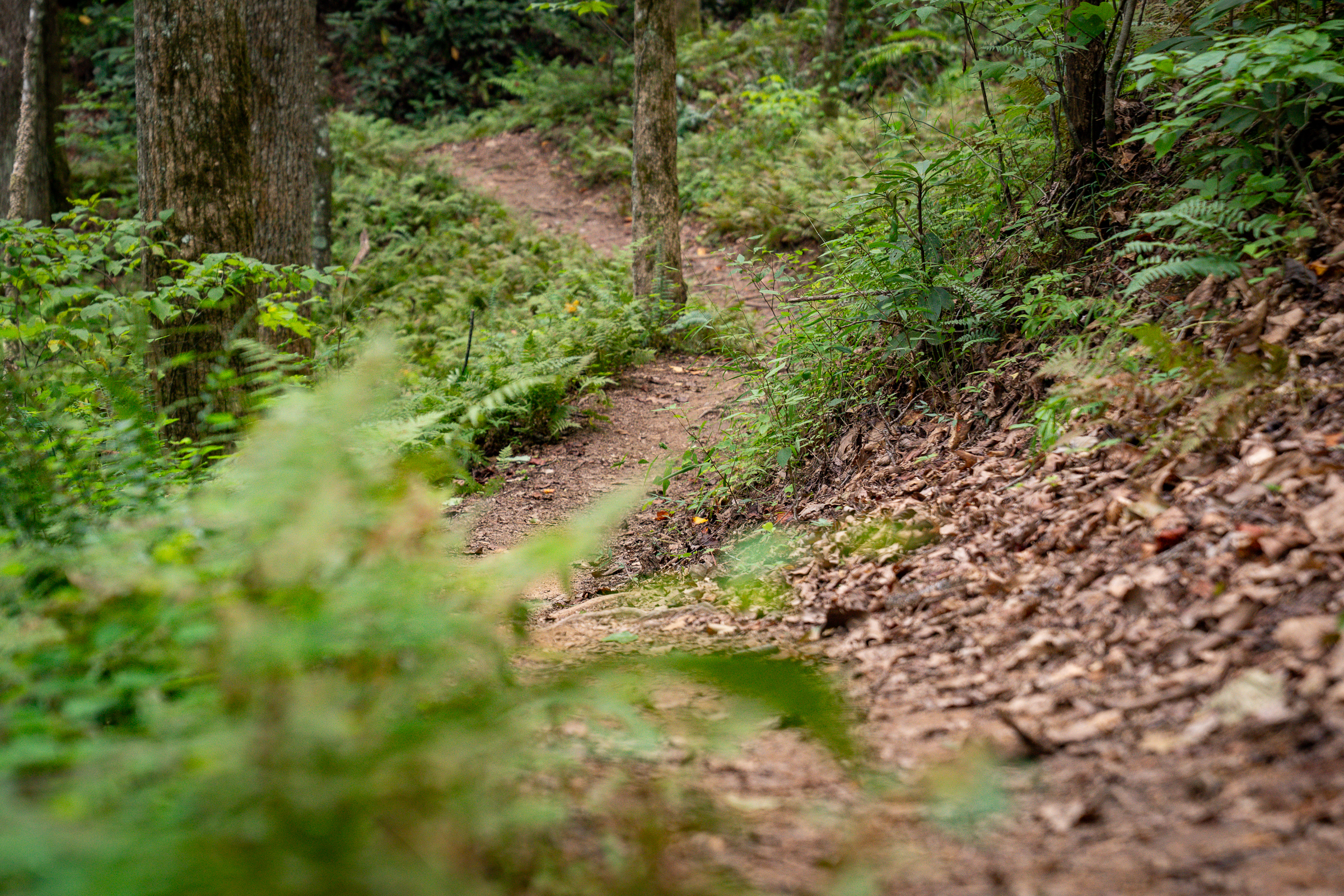
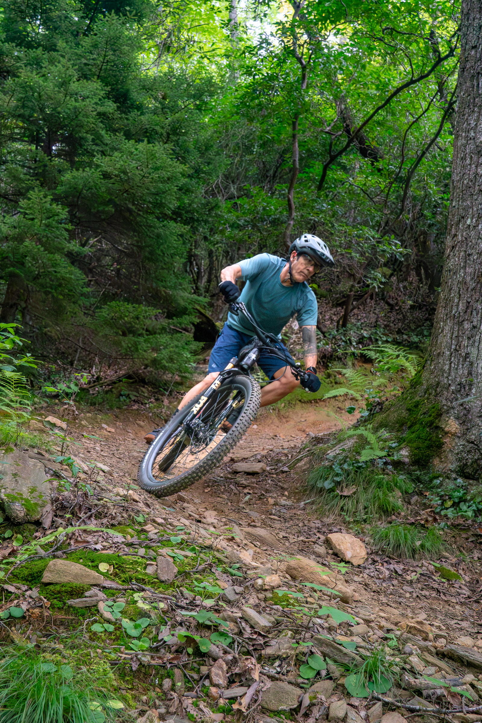
Oak and poplar trees tower over quiet coves. Laurel dominates the mid-canopy while ferns and mosses creep past the edge of the singletrack. The machine-cut trails are decidedly rideable, though there’s no mistaking the work it takes to reach the top of Pinnacle Trail.
At this point, most will choose to point their bikes back down toward town and refreshments, though riders can continue into the National Forest for a true all-day adventure. However, most choose to start the ride in the National Forest and finish down Bracken. A popular route takes riders from town into Pisgah National Forest on the Estatoe trail and climbs up Joel Branch Road, a gravel road leading to the top of Bracken.
The descent down the Bracken Mountain Trail is an absolute hoot. Keep your speed up to catch a little air off the grade reversals and take advantage of the wide-open sight lines as you zoom toward the bottom. A few steep spots and sharp turns will keep you on your toes and make for a wildly entertaining downhill.
From the end of the trail, it’s a fast ride on pavement to the Lumberyard District and town for food and drinks.
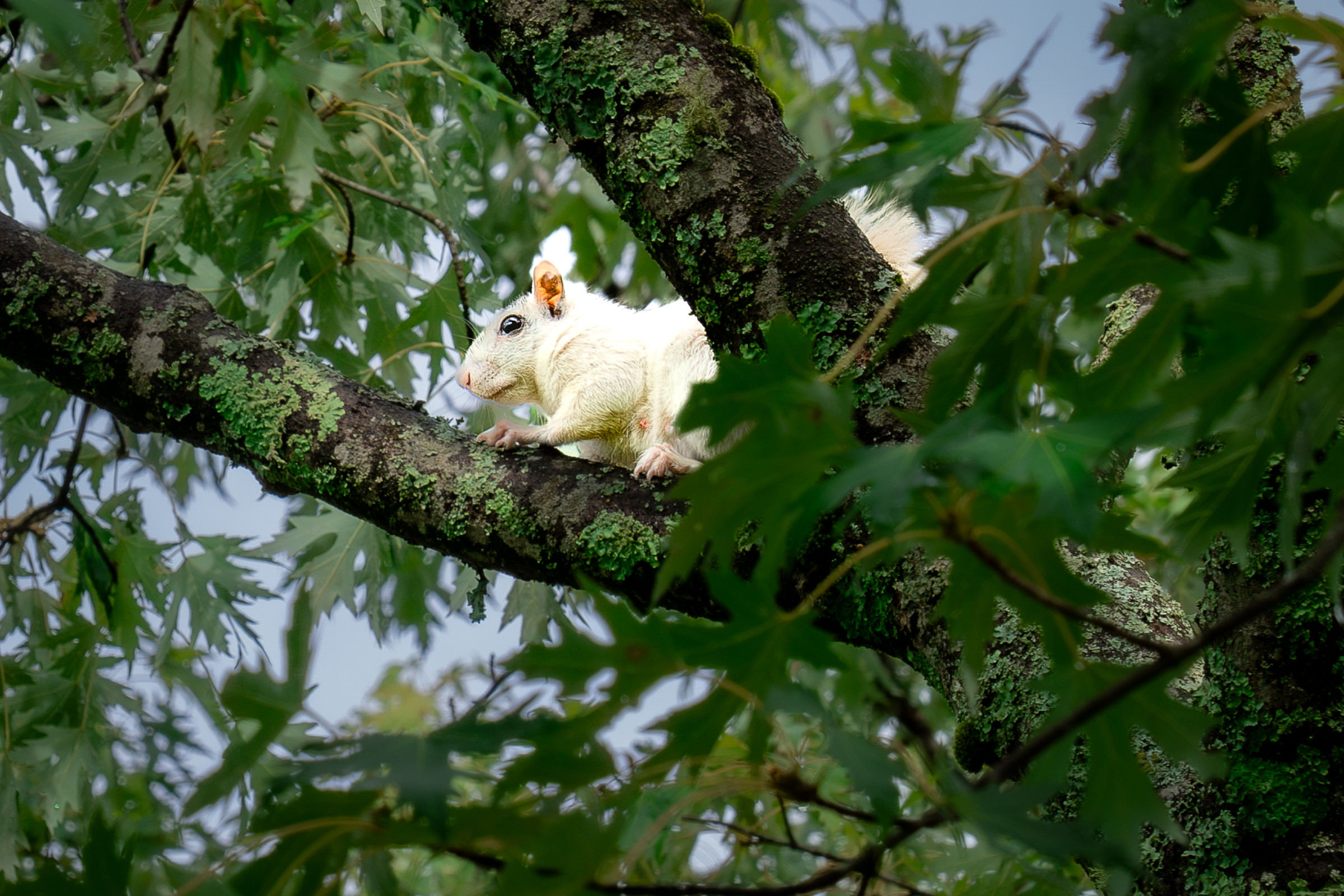
Back in town, pedal through the Lumberyard District and onto Main Street to Earth Mountain Bikes for a pint or a can and to pick up a dozen farm-fresh eggs. Grab some lunch and dip into Silvermont Park or the Brevard College campus for a chance to see a white squirrel. Rumor has it the all-white squirrels came to town as pets, and one later escaped. (A second one was said to have been let go.)
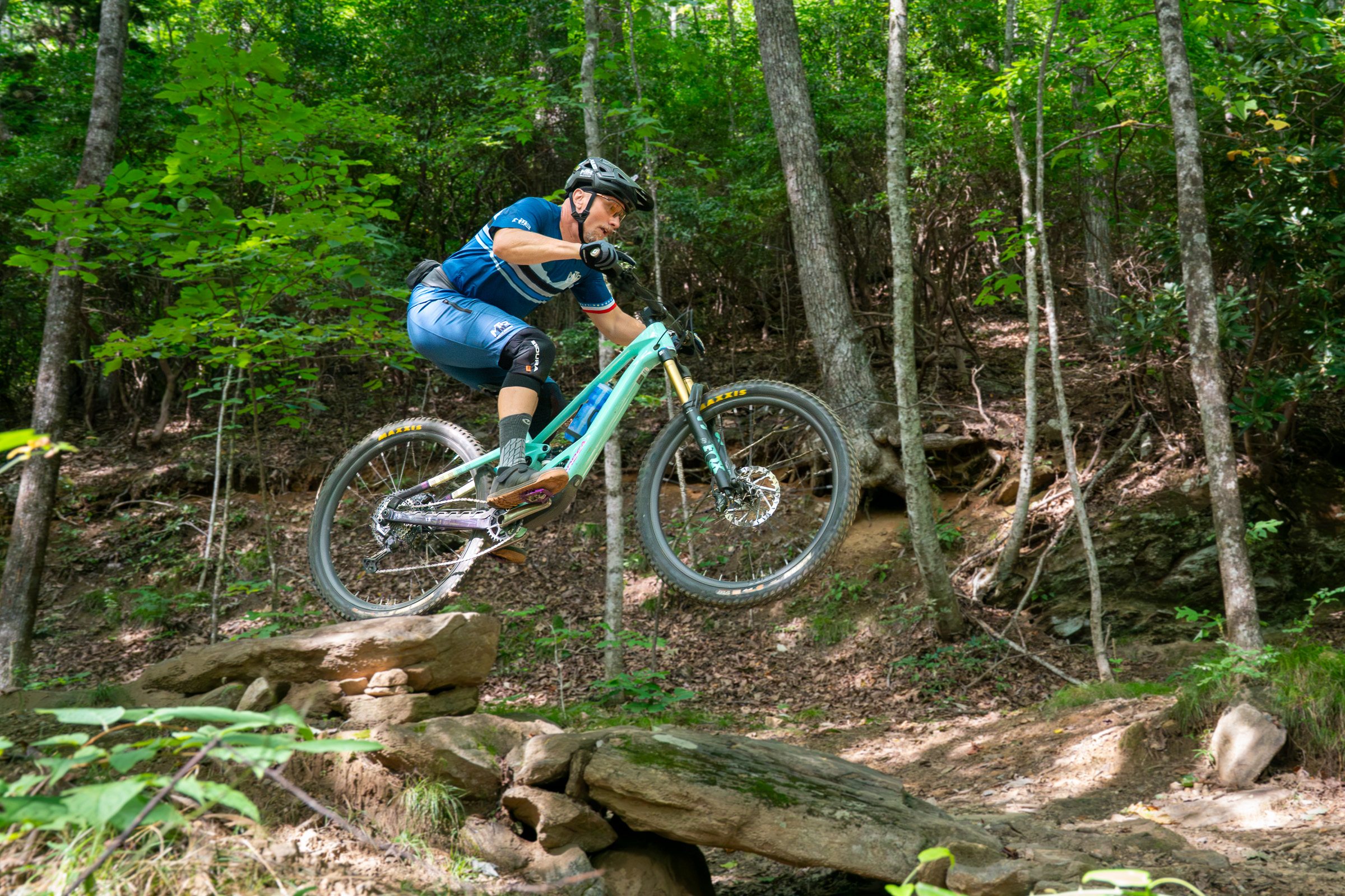
Let ‘er rip on the Avery Creek Trail
Hopefully you had a good lunch after the ride at Bracken Preserve because the Avery Creek loop is a big, fun ride. Pisgah Area SORBA says, “Avery Creek Trail is generally rated advanced/black diamond, not intermediate. It’s a common next step trail for solid intermediate riders looking to level up, but it rides harder than its mileage suggests.” If you were comfortable on the Black Mountain and Butter Gap rides, you’ll have a blast riding Avery Creek.
“It’s got a good combination of some different challenges,” Josh Whitmore, mountain bike coach and founder of MTB Skills Factory, says. Riders will find “Pisgah-signature roots with some rock in there too. […] One of the things I like about it is it’s got some alternate options down the trail corridor. You can choose whether to gap from this rock to that rock, or ride around it.”
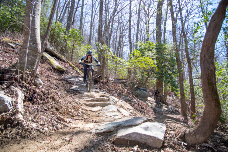
The Avery Creek trail descends nearly 1,700 feet and has optional rock features like the “diving board” that expert riders will enjoy sessioning. Root and rock drops that might look intimidating are generally rollable, though maintaining your speed is the name of the game. Work has been done to the Avery Creek trail to improve the rutted singletrack near the top, with rock-armored singletrack in its place.
Getting to Brevard
The Asheville Airport is about 30 minutes from Brevard and offers nonstop flights from 26 US destinations. By car, Brevard is a two-and-a-half-hour drive from Charlotte, about three hours from Atlanta, and six-and-a-half hours from Cincinnati.
Toward the bottom, the Avery Creek Trail traces a stream that gathers momentum as it cascades down the mountain. Bridged creek crossings get riders up close before the stream drops off into a canyon and disappears to the side, only to return again at another bend in the trail.
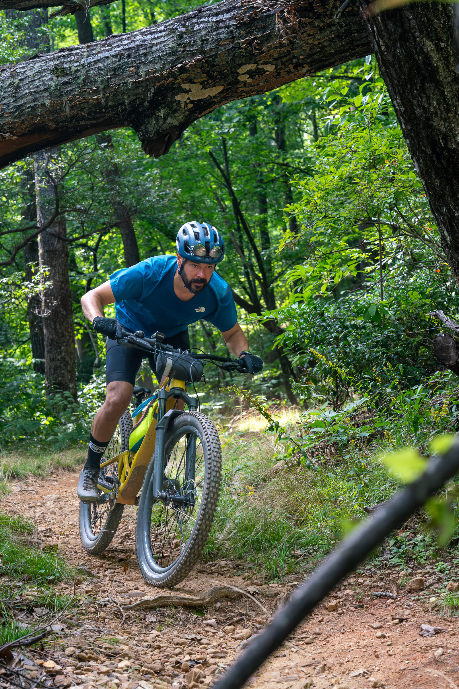
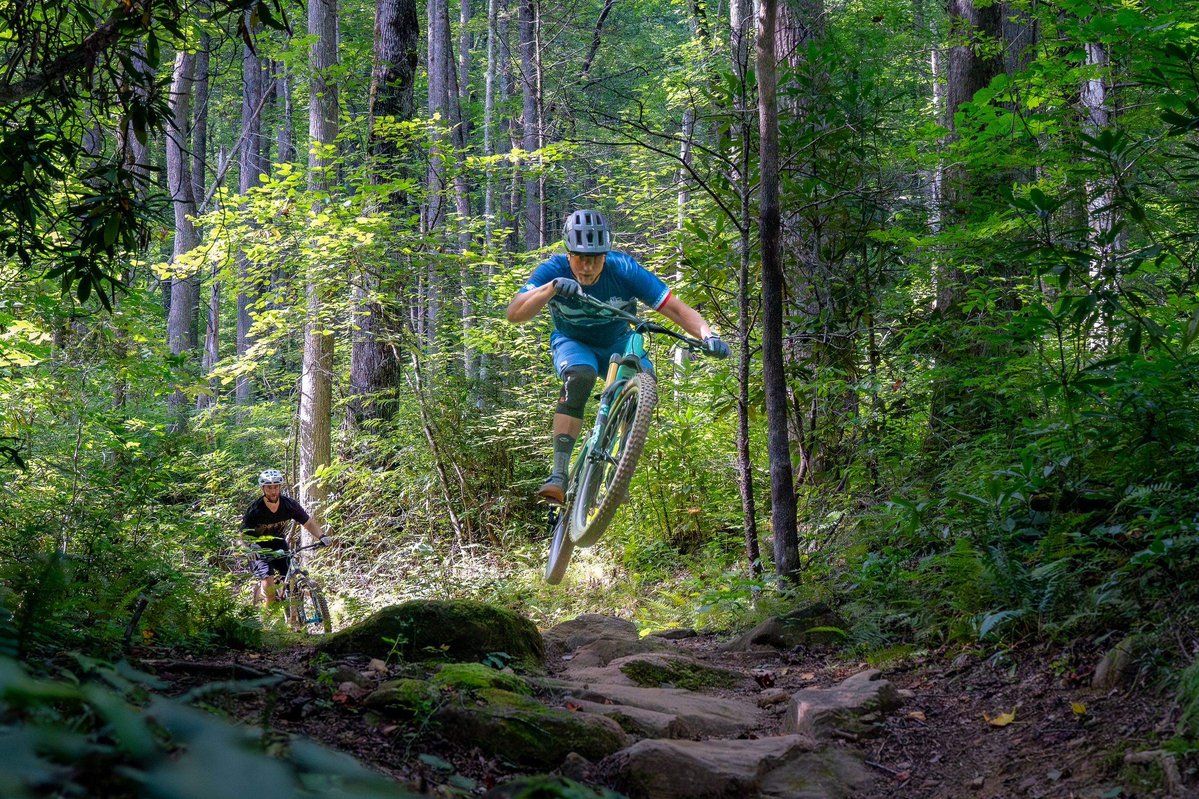
Whitmore notes that Avery Creek is in particularly good shape right now thanks to rehab work completed by Pisgah Area SORBA a couple of years ago. “It’s kind of worn back in, and rocks have come back out,” he said.
Riding the Avery Creek trail as a loop involves a roughly five-mile, 1,200-foot climb up a gravel road, which some riders choose to shuttle using two vehicles. MTB Skills Factory and other providers offer commercial shuttle services. Note, however, that the road may close to vehicles due to weather conditions. Whether you shuttle or ride up, you’ll still need to pedal up Club Gap Trail to the top of Avery Creek Trail and the beginning of the descent. Club Gap Trail climbs over 400 feet in less than a mile, and it’s definitely worth the effort.
Just one more trail — and there’s always one more!
Looking for one last challenge? The Bennet Gap Trail offers a big one adjacent to the Avery Creek Trail. Instead of taking a left onto the gravel road at the end of the Avery Creek Trail to return to the stables, hang a right and climb back up until you reach the Bennet Gap Trail. Hang a left here and continue climbing.
The trail follows a ridge that’s hemmed in by thick laurel bushes and trees. Unlike many rides in the forest, there are a couple of spots with excellent views along this stretch of trail.
Brevard-area bike races and events
Races and events are a great way to experience some of the best trails and community in the Brevard area! Check the official event websites linked below for upcoming dates and availability.
- Pisgah Stage Race: April 8-10, 2027
- Pisgah Mountain Bike Adventure Race (PiMBAR): May 1, 2027
- Pisgah SORBA WNC Bike Fest: May 16-17, 2027
- Pisgah Enduro Race: August 8, 2027
Once the trail drops off the ridge, riders will encounter a steep rock feature that is not for the faint of heart. Most will choose to walk this section after taking a look at it. However, for a skilled rider, it is rideable. I recommend going with someone who has ridden the feature before and watching them before attempting it yourself.
Realistically, fully experiencing all the mountain biking Pisgah has to offer would take a week or more of daily riding. Advanced riders in particular will want to return to tackle some of the more challenging trails on a future trip.
Now is the time to visit Brevard and mountain bike Pisgah National Forest
There isn’t a better time to mountain bike Pisgah National Forest than this fall. Here, you’ll find exciting and challenging trails in a lush mountain environment that feels worlds away from everyday life. Whether you’re looking to level up or seeking your next adventure, Brevard and Pisgah deliver an unforgettable experience that will have you planning your return trip before you even leave. Pack your bags and get ready to discover why mountain bikers from all over North America are flocking to this part of Western North Carolina.
Keep up with the latest mountain bike news by adding Singletracks as a preferred source on Google.




0 Comments