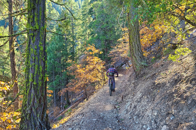
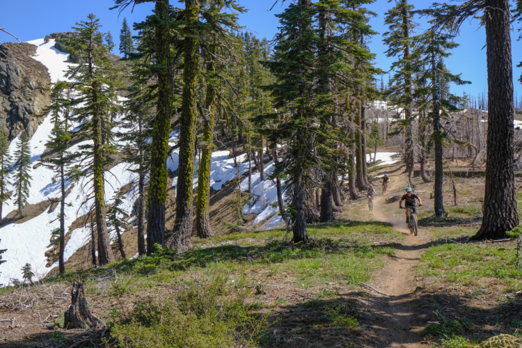
Mt. Hough rises above downtown Quincy in California's Lost Sierra, offering an impressive 80 miles of shuttle-served singletrack that's open to bikes, motos, and e-bikes. The crown jewel is the epic 12-mile top-to-bottom descent that drops about 4,200 vertical feet with less than 400 feet of climbing required — a flowy, intermediate-friendly trail largely bereft of technical features, save for one spicy alt line at the summit. Swooping and flowing through the pines while dropping over 4,000 feet of vert in this remote corner of the Sierras is just downright fun, and it has the added bonus of ending at a shockingly-cold swimming hole — perfect for 90-degree mid-summer days.
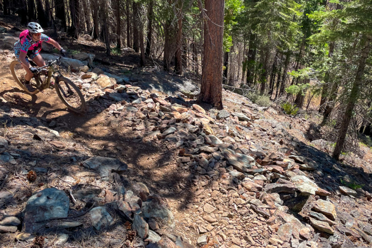
The mountain now features three distinct top-to-bottom runs, each offering different character and terrain variety. The newer Indian Falls Ridge Trail presents rockier terrain compared to the original Hough trail, though riders shouldn't expect dedicated downhill runs or jump trails, as all trails are built to accommodate two-way traffic including motorcycles. Additional trails on the lower mountain provide several different options for ending runs, creating multiple route combinations across the system's extensive network.
All trails on Mt. Hough are located in the Plumas National Forest and open to motorized travel, making them e-bike legal by extension. Despite being moto-legal, trail conflict isn't really an issue — you'll see some motos and hear some motos, but there's just so much terrain out there that it doesn't seem to be a thing. The system also features a 13-mile singletrack connection from Quincy to Taylorsville, marking the first singletrack connection between two communities in the Lost Sierra and opening up even more riding possibilities in this expanding mountain bike destination.
-Greg Heil
 | Acorn Grotto | 3.6 mi | |
| Indian Falls Ridge | 5.6 mi | |
| Mt. Hough Trail | 11 mi | |
| Quincy Taylorsville Connector | 6.5 mi | |
| Tollgate Trail | 10 mi |


 2
2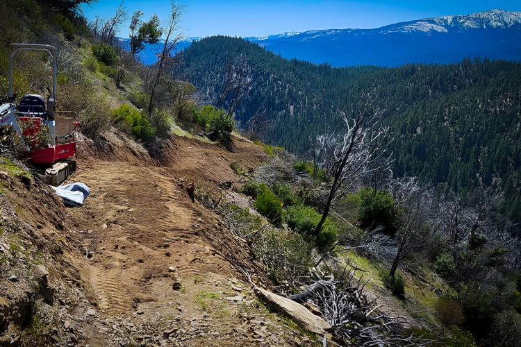

Great trail
| ThankI rode this on my hardtail last week and it felt pretty good