
While South Carolina is home to a few major mountain bike trail systems, such as FATS, the state hasn’t seen significant MTB trail development in recent years. That’s all changing with South Carolina’s first major trail opening in years: an all-new 20-mile trail system known as the “Saluda Confluence Recreation Area” (SCRA).
Forget dealing with public approvals — let’s just make this happen
The SCRA is located just 20 minutes north of Greenville, SC, and about five minutes from the small town of Travelers Rest on a 900-acre tract of private land. Nathan and Mary Beth Galbreath began acquiring land near the confluence of the North, South, and Middle Saluda rivers to protect the land from planned housing developments and to provide recreational opportunities. The Galbreaths began acquiring property in the area in 2020, and since then, mountain biking has come to the forefront as the primary recreational use they want to support.
“They have three kids, two of whom were heavily involved in NICA, the local biking team. They’ve always been into various outdoor things, but mountain biking, particularly, kind of rose up for them, based on their kids’ interests,” Matthew Hudson-Flege, Executive Director of the Upstate Greenways & Trails Alliance (UGATA), explained.
The Galbreaths also founded UGATA in 2019, with the organization gaining serious momentum in 2022. Since then, UGATA has mostly been working on urban trail projects like the Rad Rabbit Trail. The SCRA is their first major backcountry-style trail network.
Two other significant players in this ambitious project are Chandler and Giselle Weekes, who founded a trail building company to build the bulk of the network. The Weekes hired Jay Koehn to be the primary builder for their company, Carolina Trailworks.
While UGATA has done some fundraising for the project via grant applications, “the overwhelming majority” of the funding for the SCRA was “from these individuals who are passionate about acquiring the land and building the trails,” according to Hudson-Flege.
Conservation at the forefront
The SCRA is part of a nationwide trend where wealthy individuals are bypassing bureaucracy by purchasing land and funding their own trail development. This trend is most common in the Eastern USA, where there is less public land. Hudson-Flege noted that while there are land conservancies in the region that are involved in protecting key parcels of land from development, in many cases, those conservancies are constrained by the state and federal funding they receive.
Oftentimes, those conservancies are “really hamstrung to only pay appraised value for land. You have to wait months and months for grant applications. So, it takes a special landowner to be willing to wait on that, or a low-demand area where you don’t have a ton of buyers,” he explained. “Greenville is one of the fastest-growing counties in the country, and so, if I’ve got 50 acres that I put on the market, I’m going to have multiple offers from you-name-it home builder like tomorrow. So by being independent, [the Galbreaths have been able to] lock down some things that otherwise no typical land conservancy would ever have been able to have a shot at.”
Some of the land the Galbreaths purchased had already been subdivided for housing development at a delicate point in the watershed, due to the confluence of the rivers. “If not for the Galbreaths purchasing this land, it would probably be 800 homes [in] subdivisions right now, and all kind of clay running off into the river,” said Hudson-Flege.
What will riders find on the new SCRA trails?
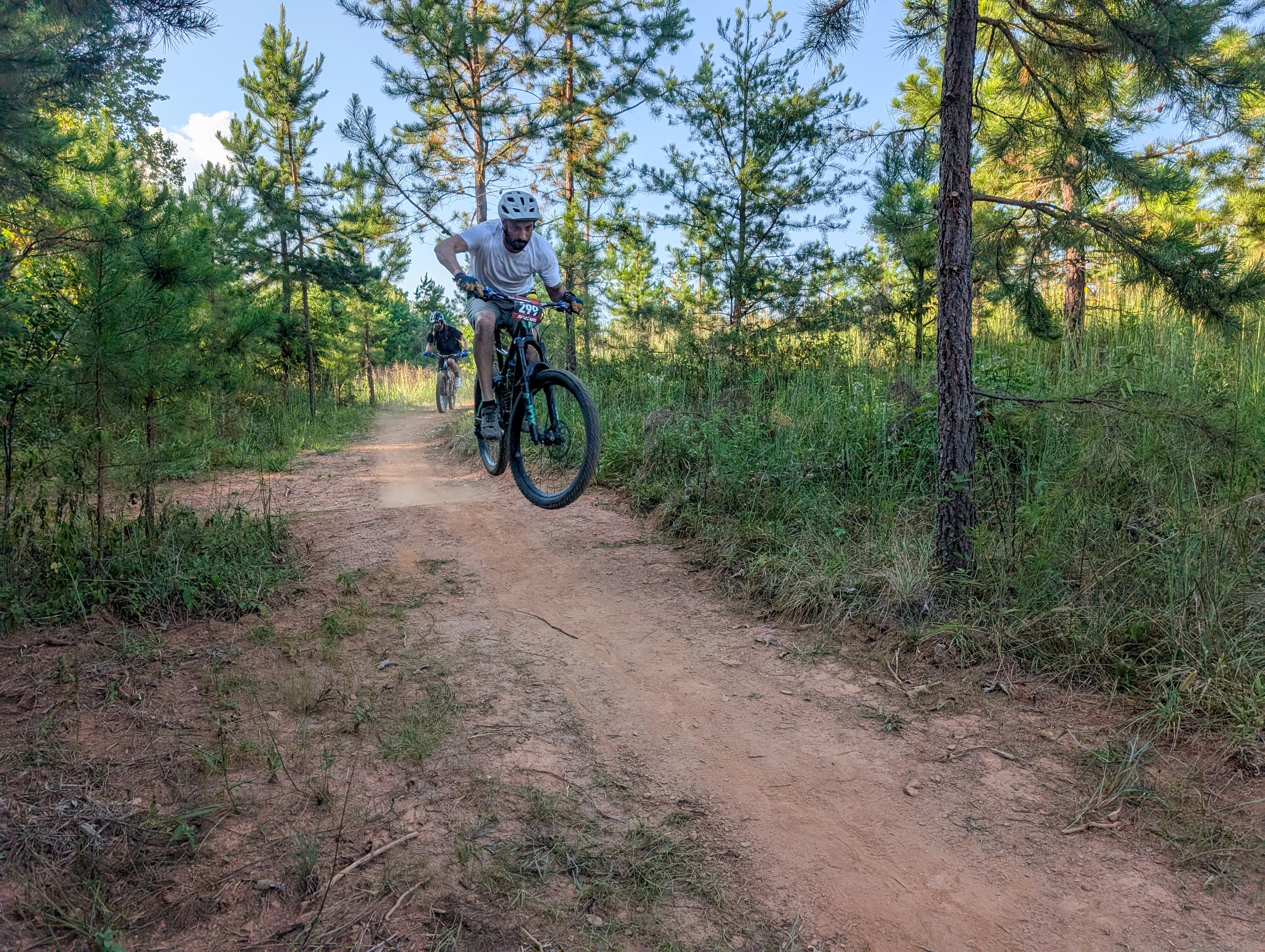
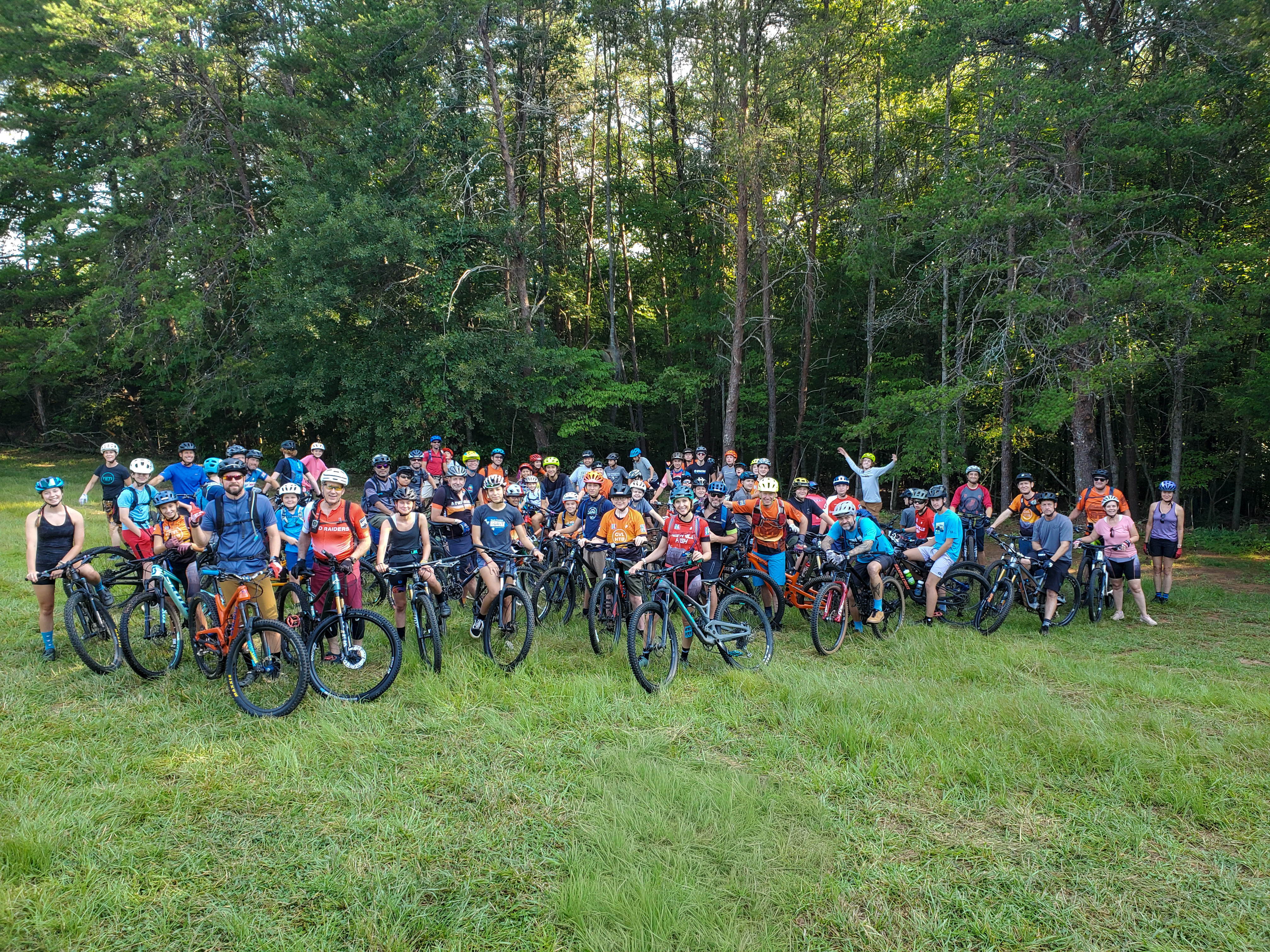
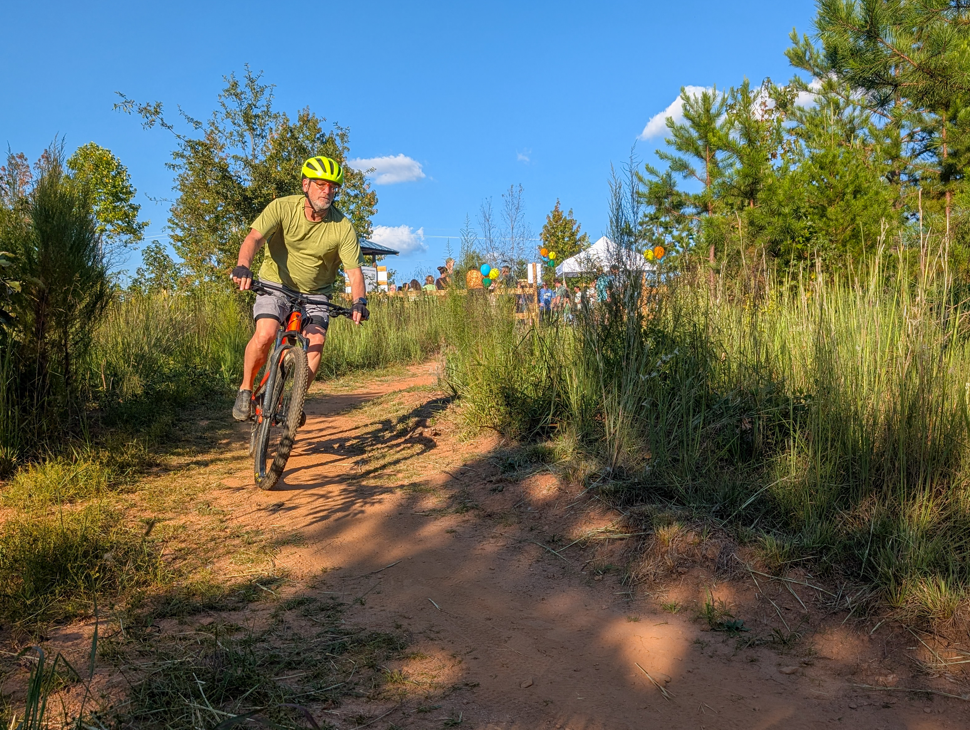
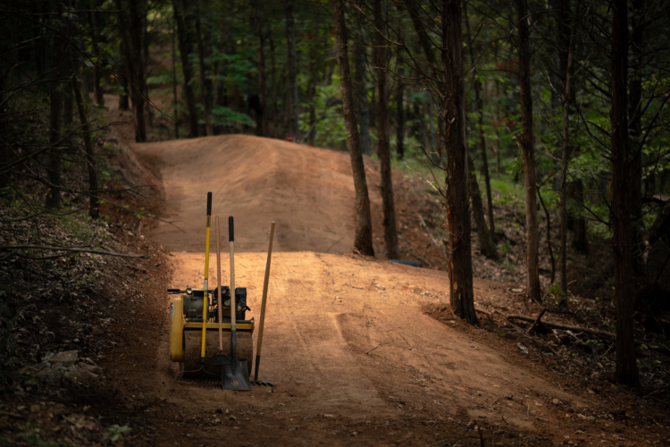
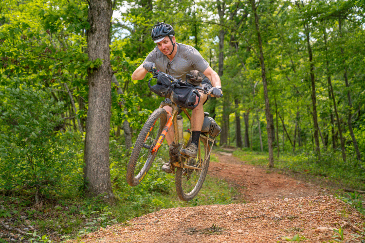
The brand-new 20-mile network at the SCRA has officially opened to the public on September 18, 2025. Despite being privately funded and built on private land, the trails are free to ride, although riders are encouraged to make a donation to support the trails.
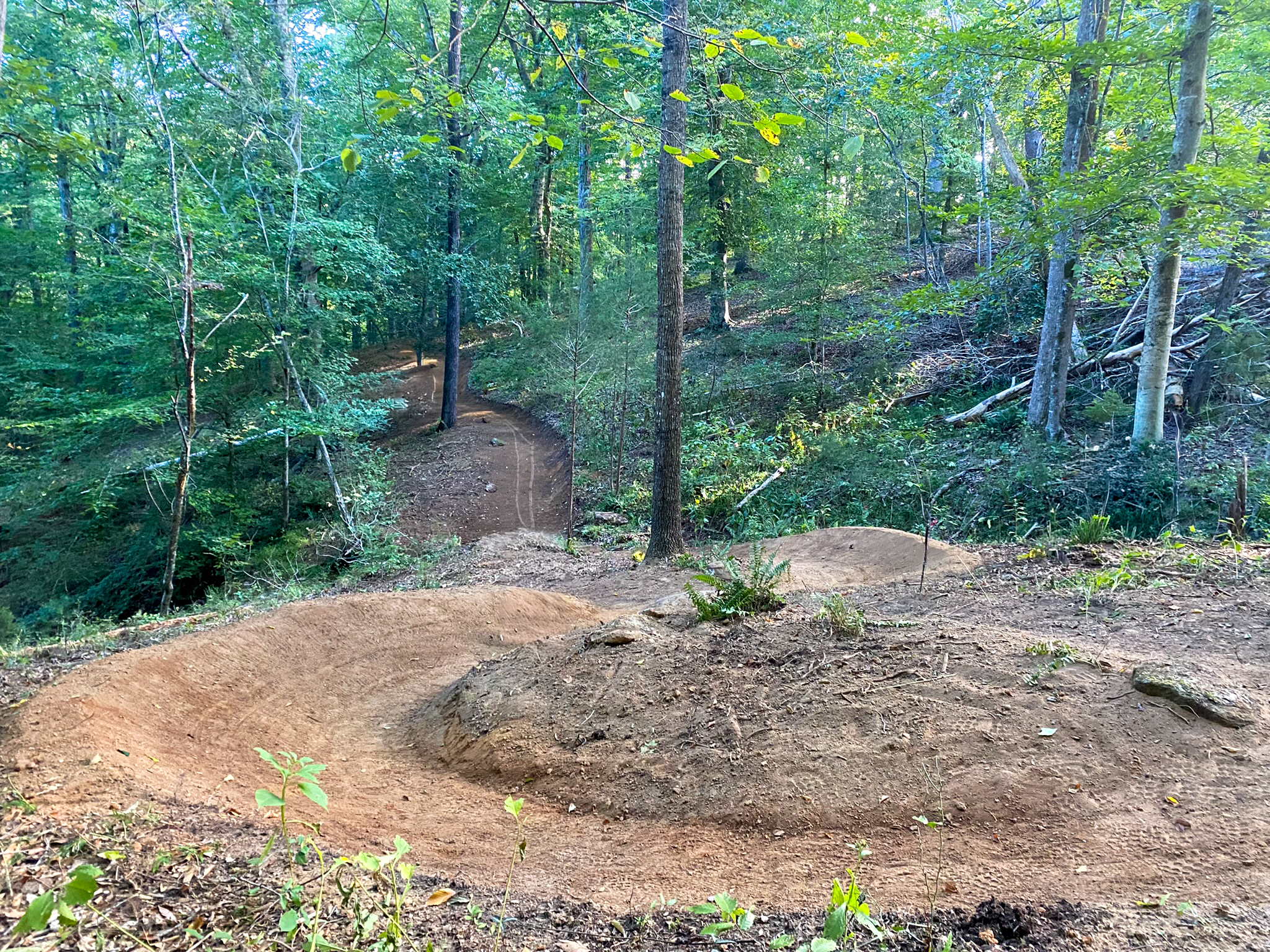
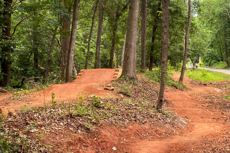
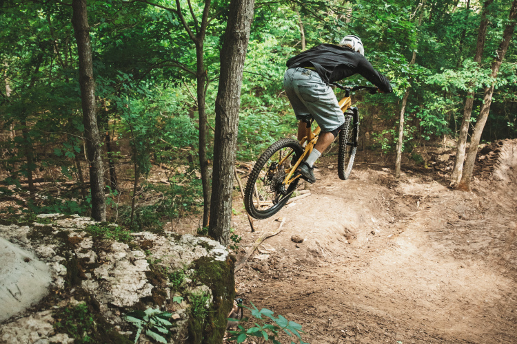
The trail system has been sustainably machine-built, and it primarily provides “well-groomed” flow-oriented beginner and intermediate trails. The focus was on easier trails, as the Greenville region already offers several fairly gnarly MTB rides. However, there is a dedicated downhill zone with five different descents: one green, two blues, and two blacks.
The one-way downhill trails make the most of the land’s 200 feet of vertical drop. “The blacks and blues are more sort of rake and ride, [with] lots of rocks and roots and natural features,” Hudson-Flege added.
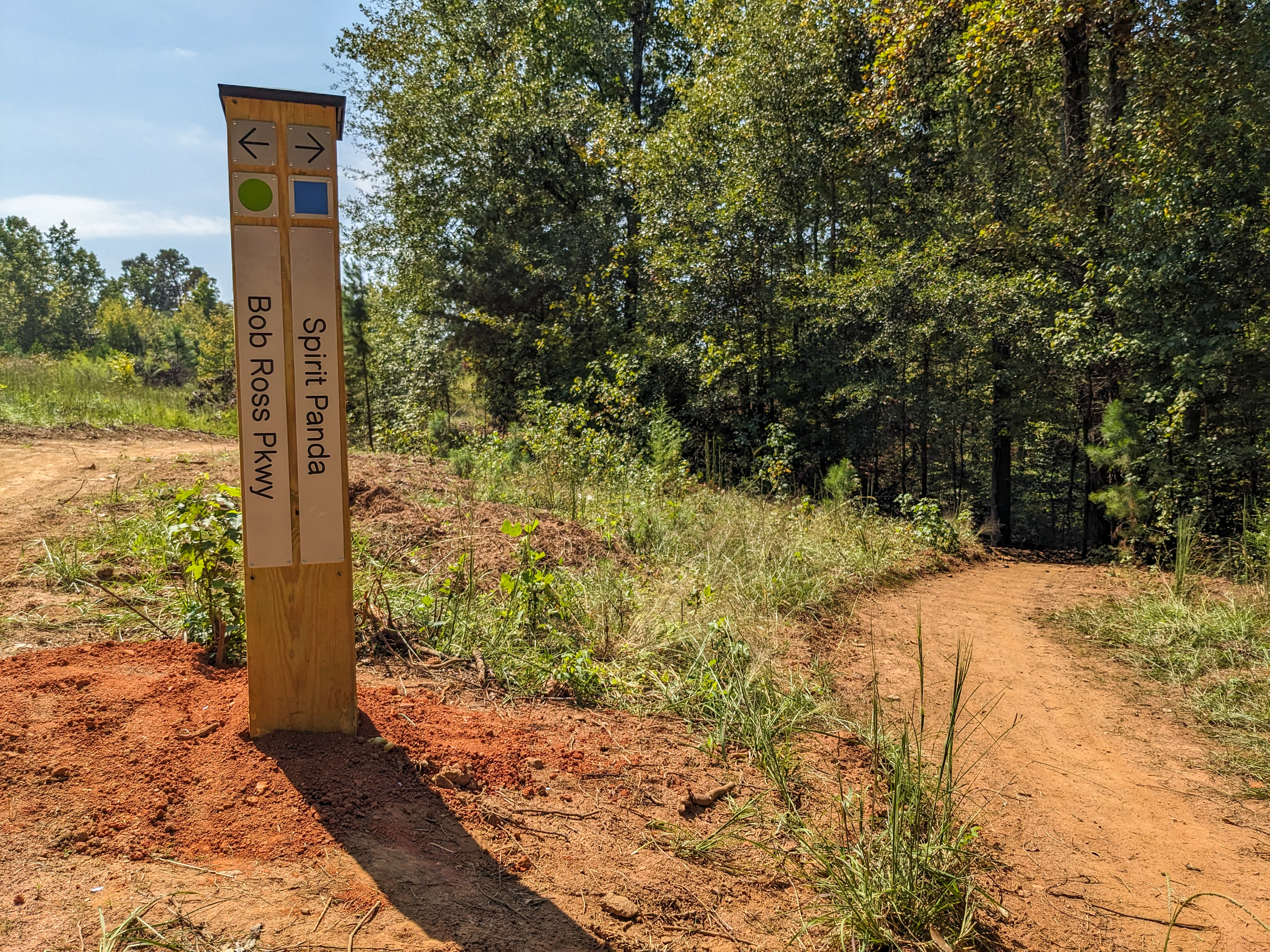
Part of the beauty of the network is that it’s been designed so riders can easily string together a long, uninterrupted ride, with minimal backtracking required. The majority of the trails are one-way directional or feature an alternating day schedule, so riders can “let it rip” when they’re going downhill, without worrying about someone coming the other way.
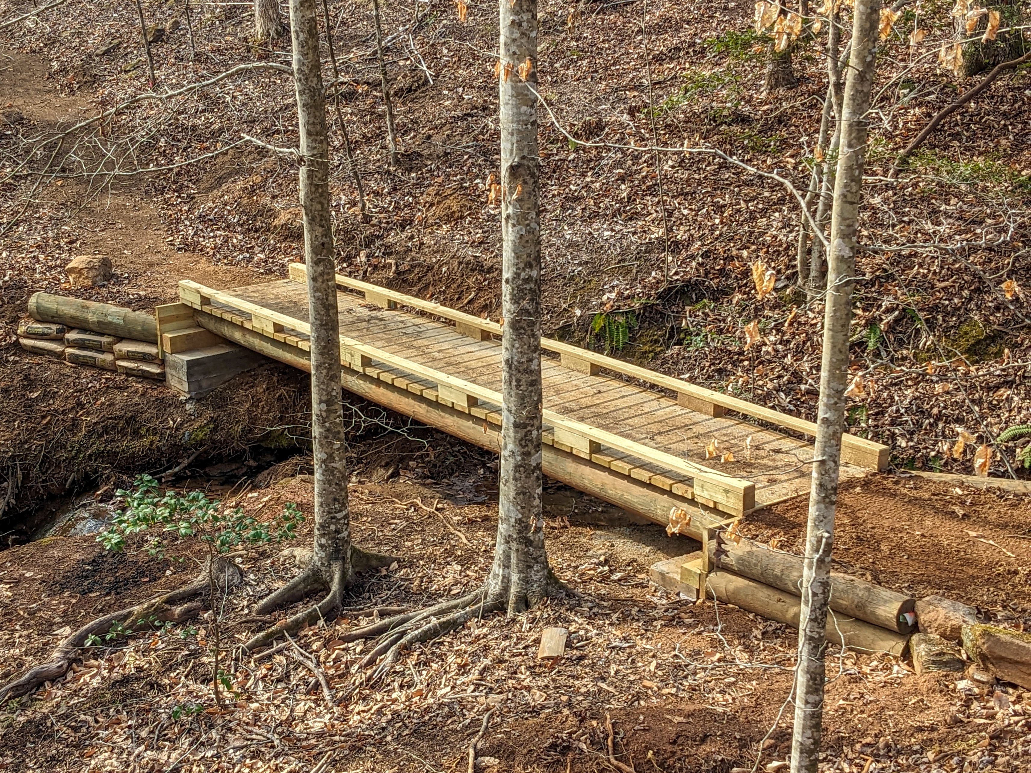
In addition to the trails themselves, the natural beauty of the landscape is a big draw. Several streams flow through the trails, and “there’s great shoals on the Saluda River,” according to Hudson-Flege.
This new trail development will help resolve trail conflicts
The Greenville metro area is home to roughly one million residents, and it only has one true mountain bike trail system: Paris Mountain State Park. Unfortunately, everyone in Greenville wants to go ride — and hike and run — at Paris Mountain, making it extremely congested on the weekends.
“That park is just utterly slammed in the summer,” said Hudson-Flege. Despite having hundreds of parking spots, the park routinely closes on Saturdays because the lots are completely full. “There’s a lot of user conflict” between bikers and walkers, he added. “It’s beautiful, but it’s just really, really overburdened for how our city has grown. So there was a real need for something kind of close in.” Hopefully, the addition of the Saluda Confluence Recreation Area will help alleviate some of the trail congestion.
While the mountain bike trails at the SCRA have been built specifically for mountain biking, the trails are also open to hikers and runners — but equestrians are not allowed. E-bikes are currently permitted on a trial basis.
The Saluda Confluence could eventually offer 50 miles of singletrack
While the SCRA has just opened with 20 miles of brand-new singletrack, the builders aren’t done yet. Hudson-Flege told me that they have about 10 more miles already flagged for development. And once they can build bridges to span the Saluda River, there’s plenty of room on the other side for more trails.
“At the end of the day, with the land that is already owned or potentially able to come online, we envision a 50+ mile trail network, eventually,” he concluded.


2 Comments
Sep 30, 2025
Oct 1, 2025
I will stop here again on my way up in 3 weeks.