×

|
Rate it:
Tags:
Level: Intermediate
Length: 16 mi (25.7 km)
Surface: Other
Configuration: Network
Elevation: +777/ -1,087 ft
Total: 20 riders
Mountain Biking Wilson Creek Area
#52 of 335 mountain bike trails in Idaho
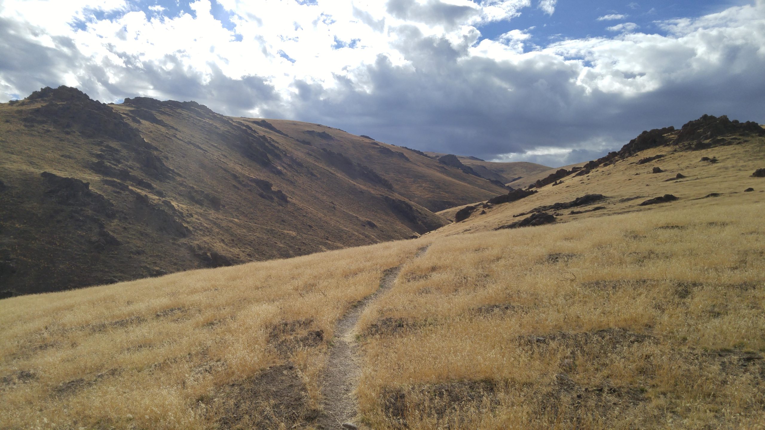
A network of dirt road, doubletrack and singletrack in the Wilson Creek Area of the Owyhee Front. A lot of sagebrush, with some spectacular views and canyons. Singletrack includes: Bingos, China wall, Reynolds Creek Canyon, and more. The trails are NOT marked by name but by BLM trail number. HOT in summer.
First added by dauw on Oct 14, 2008. Last updated May 2, 2020. → add an update
Before you go
- Drinking water: unknown
- Lift service: unknown
- Night riding: unknown
- Pump track: unknown
- Restrooms: unknown
- Fat bike grooming: unknown
- E-bikes allowed: unknown
- Fee required: unknown
This trail information is user-generated. Help improve this information by suggesting a correction.
From Nampa, ID take ID-45 south for 18 miles to ID-78. Take ID-78 (Marsing-Murphy Rd.) north for 3 miles to Wilson Creek Road. Take a left on Wilson Creek Road and drive past the feedlot to the parking lot and kiosk on the right at about 3 miles from ID-78.
System trails (1)


DO NOT ATTEMPT!!
| ThankImpassable. F’real. Fallen trees, brush, and washouts. May look okay at top and bottom, but is truly decommissioned.
Lots of miles to be had out here, most of it exposed in the dry hills. Most of the trails are just hardpack or sandy cruising with plenty of climbs up the big rounded hills, but there are a few segments or stretches that get technical enough to keep you on your toes. Overall, I found this system not particularly interesting relative to other area options. The worst part is that there is a huge feedlot close to the trailhead and you are breathing the stench for most of the available mileage, even as you get further away.
| ThankWilson Creek is best in the spring and fall when the temps are cooler and dirt conditions are better. There are plenty of natural obstacles and technical riding, but since these trails are unmaintained, conditions do change.
All in all, this is one of my favorite trail systems in the valley and a good alternative to the foothills if you want to avoid people.
| ThankGreat trails, lots of route options. This is a good alternative when the Boise foothills are wet or snowy. The "China ditch" section along Reynolds Creek is particularly cool terrain.
| ThankI used to ride this trail in high school and in college. I don't think I've been out there since 2002 though, it used to be a lot of fun and could be technically challenging at times due to obstacles and climbing. If I'm ever home again and have my bike id love to ride it again; especially Reynolds Creek Canyon.
| Thank