×

|
Rate it:
Tags:
Level:
Length: 7 mi (11.3 km)
Surface: Singletrack
Configuration: Out & Back
Elevation: -
Total: 0 riders
Mountain Biking West Fork Trail #94
#412 of 436 mountain bike trails in Arizona
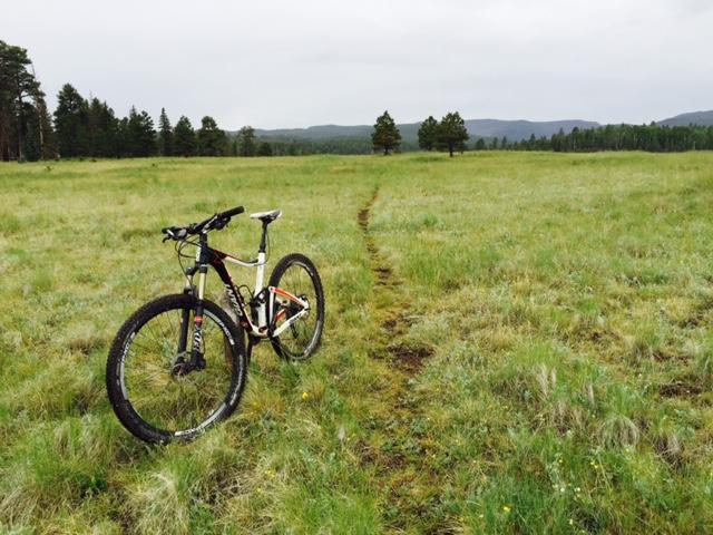
West Fork Trail travels through a checkerboard of forest and meadows. source: fs.usda.gov
First added by searsandrewj on Oct 21, 2014. Last updated Apr 27, 2020. → add an update
Before you go
- Drinking water: unknown
- Lift service: unknown
- Night riding: unknown
- Pump track: unknown
- Restrooms: unknown
- Fat bike grooming: unknown
- E-bikes allowed: unknown
- Fee required: unknown
This trail information is user-generated. Help improve this information by suggesting a correction.
From the Eagar stoplight, travel west on AZ Highway 260 for 9.6 miles to AZ Highway 373. Turn left (south) on AZ Highway 373 for 4.3 miles. Turn right on Osborne Road. The trailhead is .2 mile on the left. Limited (1-2 cars)