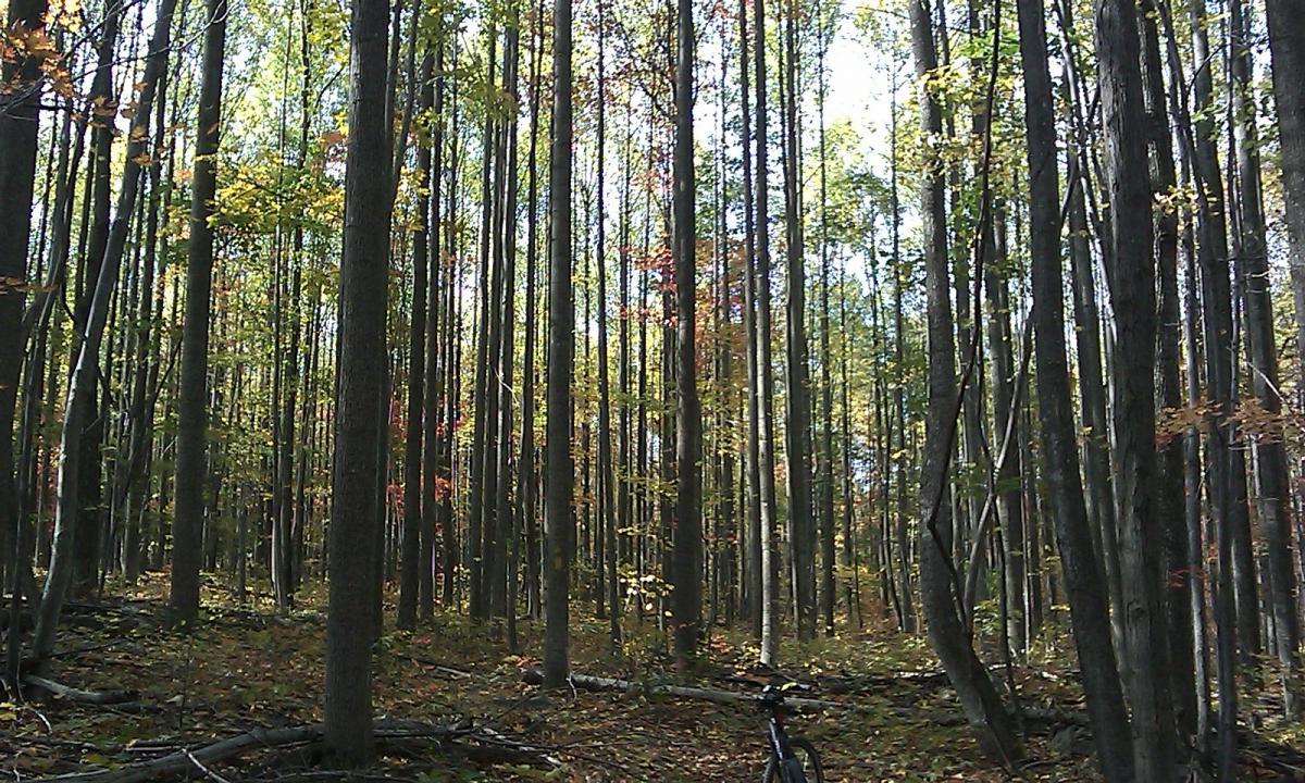
This is a great bike trip where you will encounter many different types of obstacles. Test your skills as you cross many rocky streams, climb your way over numerous fallen logs, and end with a wet, muddy trail that crosses a stream several times. This trip is recommended for intennediaLe to advanced mountain bikers. Start out the trip traveling up the right fork of the forest road for 0.4 miles and turn left down a gradual descent. Less than one tenth of a mile later, you will pass a gate and continue down the trail and over a concrete bridge. Immediately after the bridge, veer left up the hill. At 0.75 miles, take a sharp left (there may be an old culvert on the right). At 0.9 miles you will begin a very hard climb. There is a very technical uphill section at mile 2.1. At 2.46 miles, take a right at a ìTî intersection. Ride past a game clearing and immediately turn left (mile 2.6). If you continue straight, the trail will take you back to the forest service road, There is a large group of tulip poplars blown down at mile 3.3 which have been cleared from the trail. At about mile 4.1 you will cross two tank traps(large dirt mounds) and take an immediate right turn. You will ride over several more tank traps as you descend, At about mile 5, you will reenter the forest road and begin a hair- raising descent. At about mile 6, you will pass a gate and switch to a gravel road. Immediately, you will take a right turn and then a quick left turn past another gate. FollQw the yellow blazed trail that crosses Paddy Run several times and ends near the concrete bridge that you crossed near the beginning of the trip. Travel back to the forest road and continue to your vehicle. The total trip length is 8.14 miles. Expert riders might finish this trail in about 90 minutes and intermediate riders in about two hours


This trail is kind of out of the way and it can be a real pain to find. The directions posted do work but it is just a poorly marked trail head and trail. Once you find the trail it is not that great. The weeds are over grown and there are no challenging areas. The trail could be good but is clearly not ridden enough. This trail is only worth doing if you have no other options or it is very local. One point, it says no road use until July something 2007 (for natural resource conservation), which means you have to ride down and back up a gravel fire road until then.
| Thank