×

|
Rate it:
Tags:
Level: Advanced
Length: 2 mi (3.2 km)
Surface: Singletrack
Configuration: One-way
Elevation: +13/ -533 ft
Total: 1 riders
Mountain Biking Thunder Mountain Historic Trail
#114 of 335 mountain bike trails in Idaho
Thunder Mountain Trail is primitive, steep and poorly marked. Follow the main tread and look for old blazes on trees.
The upper portion of Thunder Mtn Trail ends at the Lake Creek Road (#028). Ride this road to the north to connect to Henry Creek Trail.
There is a segment of Thunder Mtn Trail that continues below the road toward Williams Lake but it is even more primitive. Another continues west from Moyer Peak to Moyer Creek but we have yet to explore this one...let us know what you find out!
First added by chukt on Aug 6, 2013. Last updated Apr 28, 2020. → add an update
Before you go
- Drinking water: unknown
- Lift service: unknown
- Night riding: unknown
- Pump track: unknown
- Restrooms: unknown
- Fat bike grooming: unknown
- E-bikes allowed: unknown
- Fee required: unknown
This trail information is user-generated. Help improve this information by suggesting a correction.
From Williams Creek summit go south on the Ridge Road (#020) 6.3 miles. Go left on Iron Creek Road (#045) for about 1/4 mile. At the crest of a hill and in a large meadow go left toward the gravesite. The trail starts just before the gravesite.

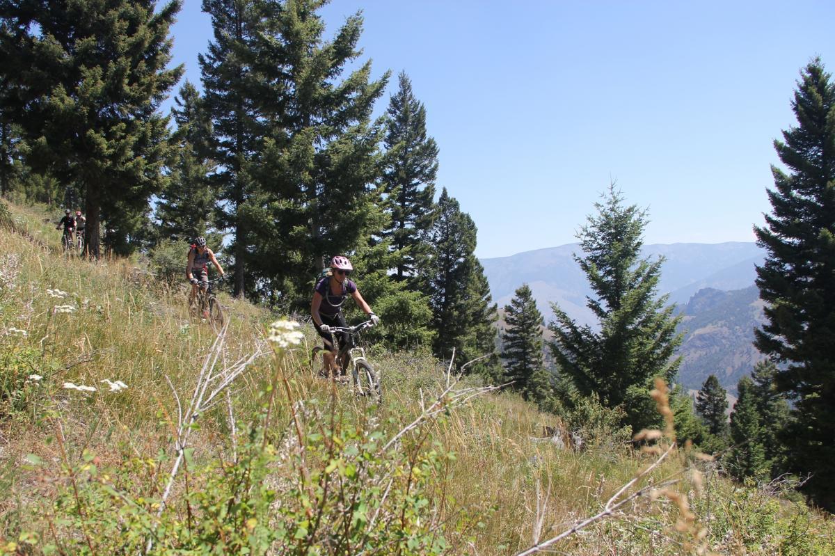

If you like primitive trail with route finding, this is the trail for you. It makes a good add on to the Henry Creek Trail for more added vertical since this trail segment is only about two miles long. It also facilitates a shuttle on better road. A copy of the gpx file is recommended since the trail is not well defined in places. This is a fun trail for the advanced or expert rider who has good route finding abilities with a gps.
| Thank