×

|
Rate it:
Tags:
Level:
Length: 4 mi (6.4 km)
Surface: Fire Road
Configuration: Out & Back
Elevation: -
Total: 0 riders
Mountain Biking Terahee Truck Trail
#291 of 302 mountain bike trails in New York
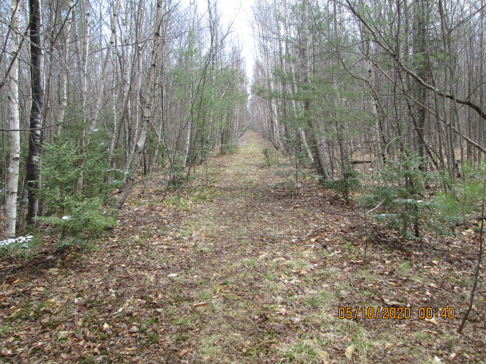
.4 miles from the gate on a jeep trail to the Burnt Hill State Forest sign. The trail begins just behind the sign over an embankment. A well maintained trail which is approx. two miles of sustained climbing to a T. It is best to turn around at the T and enjoy the ride out.
First added by Doleman on May 17, 2020. Last updated May 17, 2020. → add an update
Before you go
- Drinking water: unknown
- Lift service: unknown
- Night riding: yes
- Pump track: unknown
- Restrooms: unknown
- Fat bike grooming: yes
- E-bikes allowed: unknown
- Fee required: unknown
This trail information is user-generated. Help improve this information by suggesting a correction.
Pup Hill Rd. to Maggy Rd. in the town of Saranac. Gate is on left