×

|
Rate it:
Tags:
Level: Intermediate
Length: 13 mi (20.9 km)
Surface: Singletrack
Configuration: Figure 8
Elevation: +174/ -198 ft
Total: 16 riders
Mountain Biking Tahoe Donner various
#494 of 1,005 mountain bike trails in California
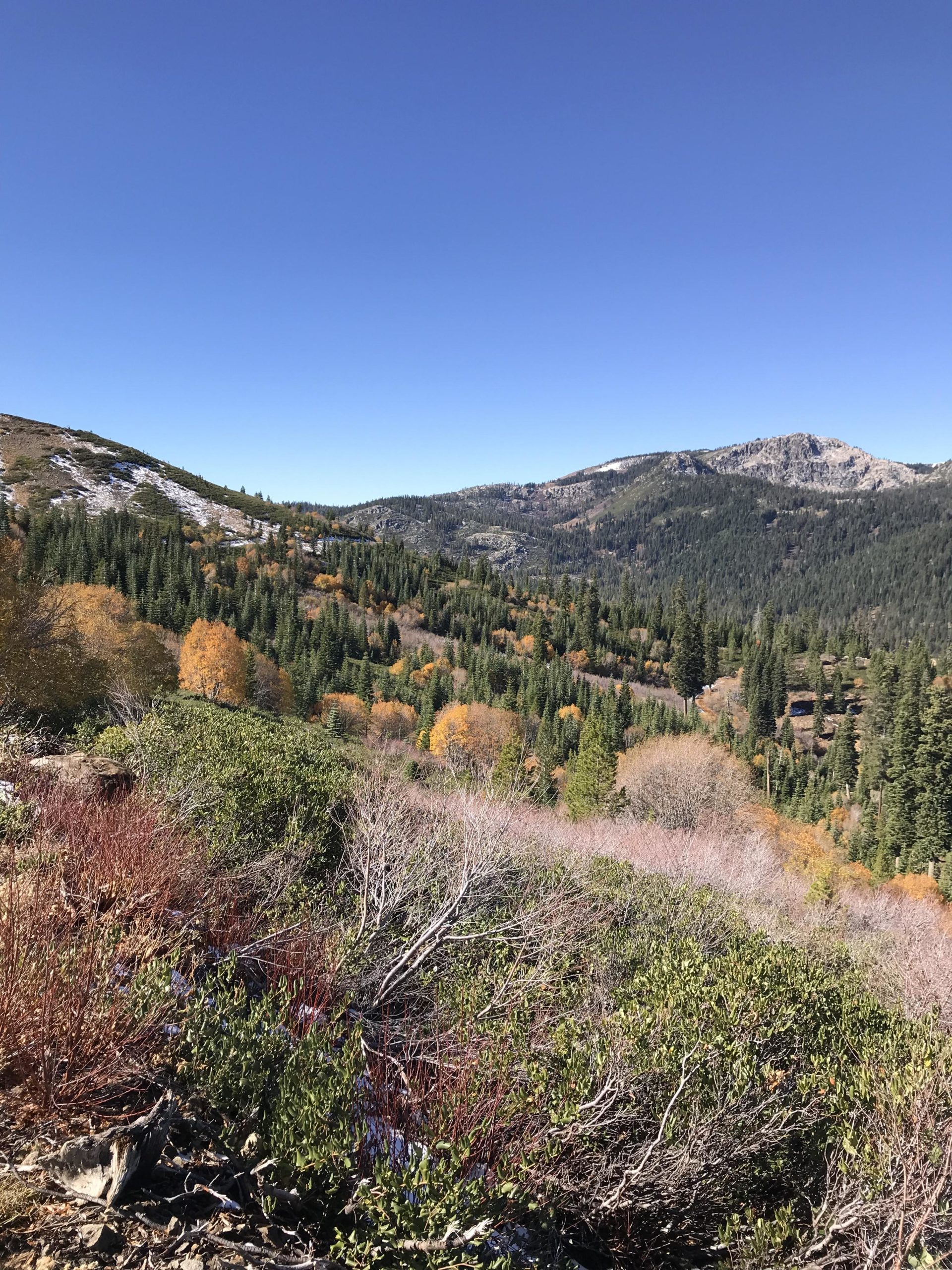
This is a loop that takes you down nice flow trails into Euer Valley and the across and up the ride he on the other side. Route taken was steep up and should be ridden in other direction. Finish coming out of the valley back up to parking lot where you started.
First added by searsandrewj on Aug 28, 2017. Last updated Apr 19, 2020. → add an update
Before you go
- Drinking water: unknown
- Lift service: unknown
- Night riding: unknown
- Pump track: unknown
- Restrooms: unknown
- Fat bike grooming: yes
- E-bikes allowed: unknown
- Fee required: unknown
This trail information is user-generated. Help improve this information by suggesting a correction.
XC / Adventure Center.


Loading reviews...View more