Most people come to this ride for the view of Sycamore Canyon at the overlook, but the scenery along the way is worth the trip, too. The ride starts out in a ponderosa pine forest where big pines and bright green Gambel oaks stand in clumps by the roadside. Farther into the ride, the trees give way to broad grasslands dotted with alligator junipers. These squat, spreading trees have been pruned into bizarre shapes by years of cattle browsing, creating a landscape that looks like something straight out of Africa.
At road's end, the view is spectacular. Sycamore Canyon with its buff cliffs of Coconino Sandstone drops precipitously at your feet. To the north, San Francisco Peaks seem to rise right out of the upper reaches of this chasm, creating a landscape that encompasses 8,000 feet of elevation change, from canyon floor to mountain summit. Mingus Mountain and the Verde Valley complete the panorama to the south.
The Sycamore Point Ride follows FR 110 out and back to the scenic overlook. This road is used by a moderate amount of motorized traffic, so be prepared to share the road with vehicles. The road surface is reasonably smooth with no steep grades. There is no possibility of a loop ride, although you could start a ride at White Horse Lake and use a different return route from the Sycamore Point Road Intersection. source: fs.usda.gov


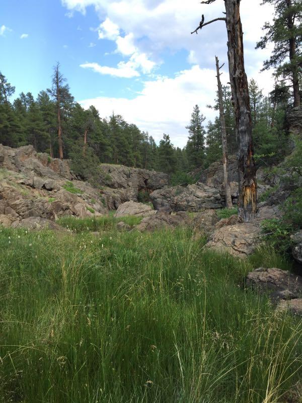

This is a very technical trail. If you are a beginner this is not the trail for you unless you want to carry your bike a lot. Starts off easy until you climb to the top. The trail descends into a river bed with lots of boulders that continue on and off until you get to the Rim. The rest of the trail is consistently rocky. Some fallen trees will force you to dismount. Beautiful pine tress all around and the views are worth every mile. The loop all the way around is more like 11 miles. So be prepared to spend a few hours.
| Thank