×

|
Rate it:
Tags:
Level: Beginner
Length: 6 mi (9.7 km)
Surface: Singletrack
Configuration: Lariat
Elevation: +177/ -106 ft
Total: 8 riders
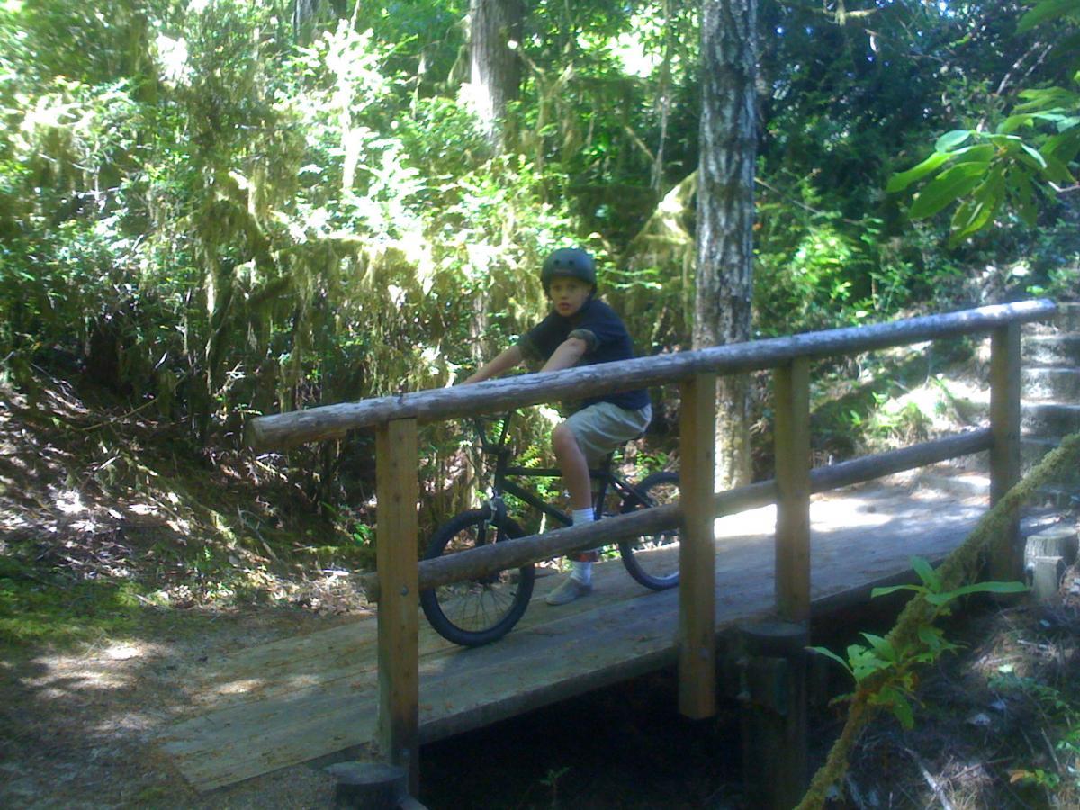
Mountain Biking Sutton Creek Trails
#105 of 321 mountain bike trails in Oregon
The trail system at Sutton Creek State Park is my favorite place to ride on the Oregon Coast. I have been exploring this trail system for almost ten years, and the scenery never gets old. The best ride is starting at the trailhead on the map, and when you reach the pavement in the camp grounds, stay to the right to re-enter the trail system, all the way to to loop at the end. Reverse your route on the way out, and it seems like a whole new trail. Enjoy!
First added by tannahill on Jul 10, 2009. Last updated May 6, 2020. → add an update
Before you go
- Drinking water: unknown
- Lift service: unknown
- Night riding: unknown
- Pump track: unknown
- Restrooms: unknown
- Fat bike grooming: unknown
- E-bikes allowed: unknown
- Fee required: unknown
This trail information is user-generated. Help improve this information by suggesting a correction.
(see map)


No bike allowed on this trailsystem. As we have ben there completely off season without any people on the trails... was fun
| ThankThis trail was recently posted for hiking only, no bikes. I live in Florence and used to like to bike out there. Florence needs more off road bike trails.
* Review edited 7/17/2010
| ThankThis trail is an official trail to ride your bike on.
| ThankThere should be a sign that says bikes allowed.It is a fun easy trail. 7 miles north of the bridge on hwy101
I live in Florence and use this trail to run on. However, this trial is not permitted for Trail Riding. This trail is permitted for foot traffic, human foot traffic and all animals, specifically dogs need to be tethered on a leash no longer than six feet at all time. This trail is a great example of the coastal trail systems.
| Thank