×

|
Rate it:
Tags:
Level: Advanced
Length: 6.2 mi (10 km)
Surface: Singletrack
Configuration: Out & Back
Elevation: +324/ -224 ft
Total: 41 riders
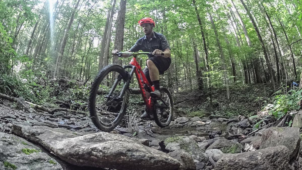
Mountain Biking Squirrel Gap
#83 of 554 mountain bike trails in North Carolina
As a loop, this trail is a series of several other trails which are (in order that you take them); Mullinax, Squirrel Gap, Buckhorn Gap, Black Mountain (lots of hiking!!), Turkey Pen Gap. Do not do this trail alone. Make sure to bring lots of water.
First added by jlsalani on Apr 9, 2011. Last updated Apr 28, 2020. → add an update
Before you go
- Drinking water: unknown
- Lift service: unknown
- Night riding: unknown
- Pump track: unknown
- Restrooms: unknown
- Fat bike grooming: unknown
- E-bikes allowed: unknown
- Fee required: unknown
This trail information is user-generated. Help improve this information by suggesting a correction.
take route 280 out of Asheville towards Mills River. Go through Mills river and take Turkey pen road on the west side of 280. Turkey Pen is a dirt road that is about 1 mile to trail head


I absolutely love riding this trail! Most of the climbs in this trail are not bad compared to the rest of pisgah. There are a rocky sections but they are rideable for the most part. This trail is pretty fast for pisgah in my opinion as long as you can navigate roots and off camber sections well. The section that leads you down to the Mullinax trailhead has probably gotten some work done because holy crap that is flowy and fast.
| ThankOne of the best trails in Pisgah national forest
| ThankClimb isn't that bad but reward is mediocre for the work. Squirrel is more up and down then the normal pisgah long heavy climb to long down.
| ThankTech-gnar supreme! This trail is a challenge for any rider. If you can clean the whole thing, you are an exceptional badass mountain biker.
| ThankGnar...gnar....GNAR. The roots are evil...they will try to kill you. If you can ride everything here...you win. Tech city...lots of climbs...lots of roots.
| ThankOne of the top trails in the Ranger District of Pisgah. Recommended route is starting at Turkeypen Trailhead - SMR trail to Mullinax to Squirrel, out and back. Can be anywhere from an hour to 3 and linked to numerous other trails in the forest. Technical roots and great bench cut single track. Taxing to ride slow but has a lot of flow once you get in the groove.
| ThankThis trail was only part of a ride done recently that tested us to our limits. There many technical sections to keep you interested climbing and descending plus the apparently common wet condition.
We started at Turkey Pen parking area and linked up to Squirrel then descended back to Mullinax and hiked back to the parking lot.
The original plan was to reach Black Mountain and follow the ridge but conditions did not allow.
Will head back out and do this right but under better conditions. Bring provisions for an all day ride and highly recommend riding with others.
| ThankAn epic loop that taxed both physical and mental limits. The first half of the ride was very enjoyable even after making a stupid mistake and riding off the side of the cliff on the tight eastern, biker/hiker only section of Squirrel. The ascent out of the valley from South Mills River up Mullinax was merely a sample of the torture that lied ahead on Black Mt. The rest of Squirrel Gap, the right turn on South Mills, and the left onto Buckhorn were certainly the sweet part of the day for me. Fun riding with good flow and a little technical challenge thrown in for good measure. Then reality struck. Whoever decided to it would be fun hike up the unrideable section of Black Mt and then come back down Turkeypen Gap was a sadistic individual. It was all the lung busting hike a bike of Black Mt without much of the enjoyable downhill reward that you normally get when you stay on Black Mt. Turkeypen was an overgrown beast that was not a lot of fun after an already exhausting 4 hour ride/hike to get that far into the loop. With a bit of pruning it would have been a lot more tolerable and I at least wouldn't look like I got in a fight with a 300 lb alley cat. The fall weather and changing leaves were beautiful but I think I'd prefer this loop in the early spring when the trails were naturally pruned by the winter's chill.
| Thank