×

|
Rate it:
Tags:
Level: Beginner
Length: 6 mi (9.7 km)
Surface: Singletrack
Configuration: Network
Elevation: +861/ -343 ft
Total: 14 riders
Mountain Biking Sherburne Trails
#33 of 148 mountain bike trails in Vermont
Machine made single track with great use of rock features and pretty view of Kent pond in the back.
First added by Josh Harris on Nov 2, 2017. Last updated Apr 30, 2020. → add an update
Before you go
- Drinking water: unknown
- Lift service: unknown
- Night riding: unknown
- Pump track: unknown
- Restrooms: unknown
- Fat bike grooming: unknown
- E-bikes allowed: unknown
- Fee required: unknown
This trail information is user-generated. Help improve this information by suggesting a correction.
Turn off 4, just across from the Killington Access Road, onto 100N. The trails are on the right marked with a national park sign saying "Sherburne Trails"
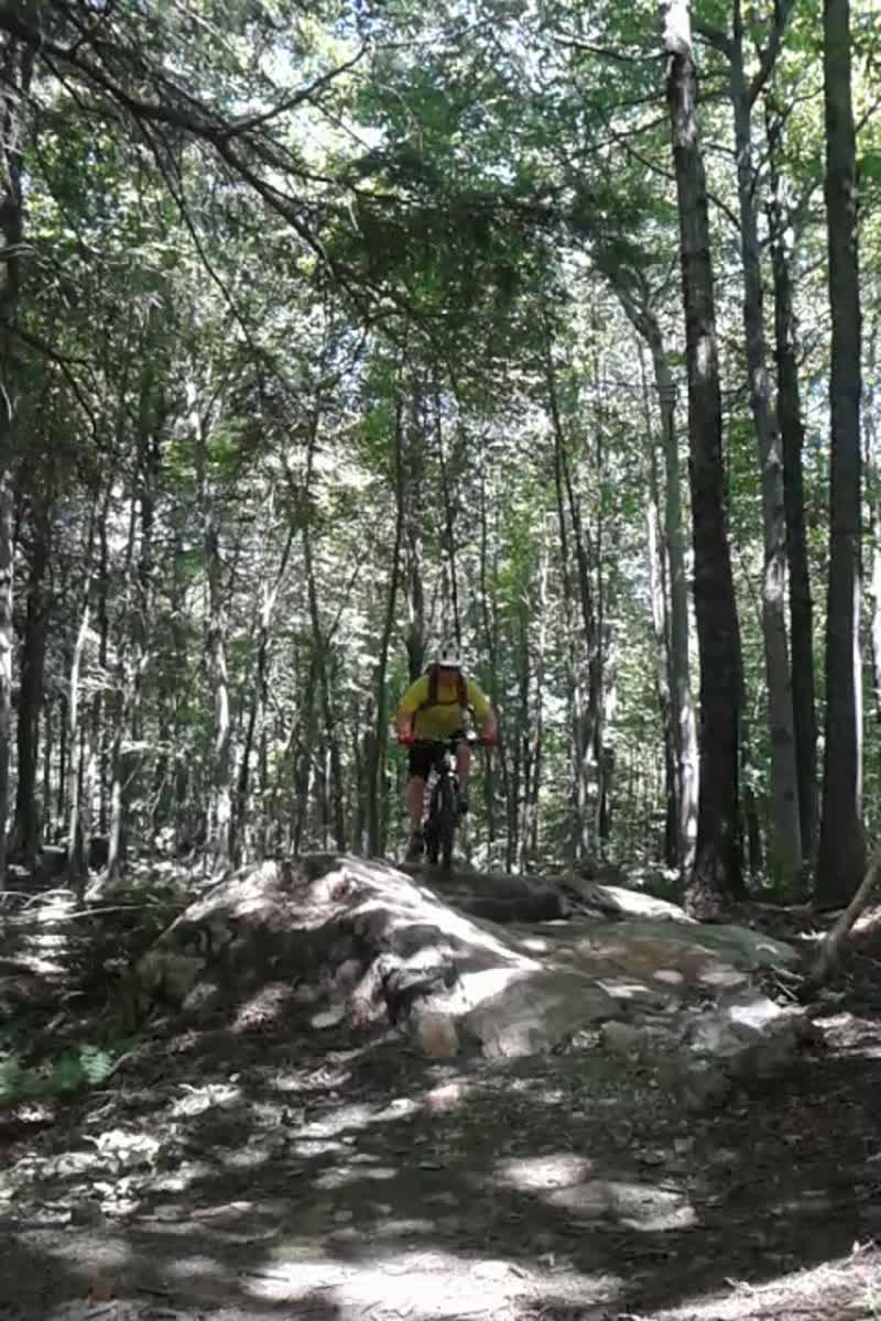


I liked this place in 2018 when i reviewed it here and yesterday i sampled the new trails at Sherburne Trails. Wow, now you have a whole new advanced element to the place. Rugged Vermont style XC riding: Roots, stones, narrow trees and chutes along Hutchings Hill and Betty. Then look out for Archie Baker trail(who is he??) that one is a monster with all kinds of strange Vermont geological abnormalities along with a hand full of man made rock drops/rollers. So cool!
| ThankI really dig this set of trails near the base of Killington, and now they have expanded it to really pack a 2-3 hour punch. Get down there.
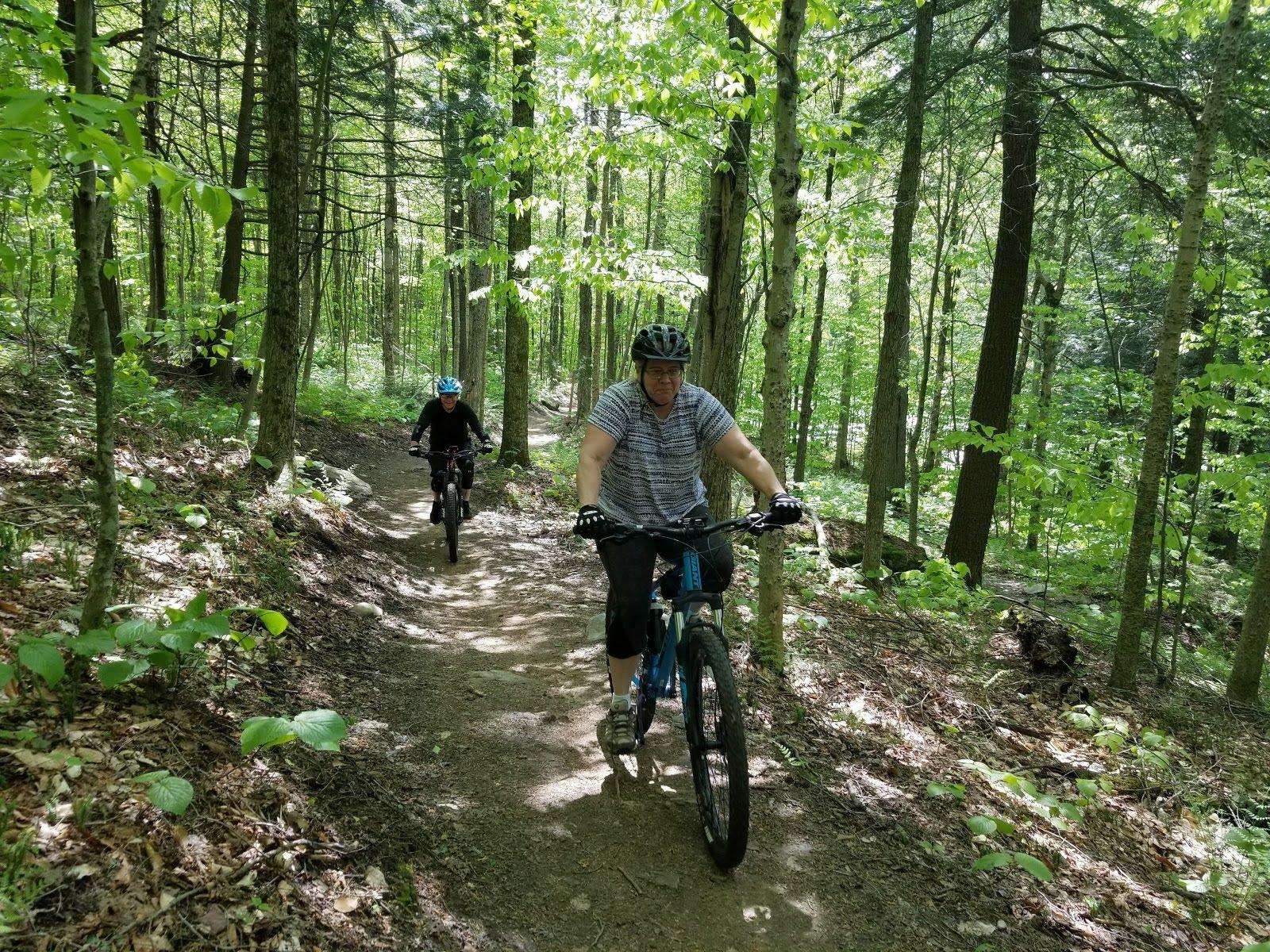
I love these trails and try to hit them at least once every time I visit Vermont. They are wonderfully fast, purpose built MTB trails that are just made to flow up and down the mountain side. There is very little in the way of technical material, but the ride is made enjoyable by the twists and turns going up and down the trails.
| ThankGreat ride and the trails are in great shape.
| ThankSuper fun for beginners. Single track with bermed corners, and technical sections. Hills aren't bad but you definitely want to go Paca to Ohly to Mind. Well maintained and impossible to get lost.
| ThankWow, Get down to Sherburne, Vt near Killington and ride these trails!
| ThankStopped here on a three day trip to ride near Killington, and GMT. Camped nearby at Gifford Woods. Tried a bunch of Killington's bars and restaurants after a day of whacking out lines on all the local trails.
I was not prepared for how smooth Sherburne trails are. very nice flow, lots of fun in a small easy to do package. nice job they have done here.
Check it out, no entry fee, close to all the local beers and amenities and you are not too far from the Green Mountain Trails. Excellent.