×

|
Rate it:
Tags:
Level:
Length: 300 mi (482.8 km)
Surface: Other
Configuration: One-way
Elevation: -
Total: 16 riders
Mountain Biking Sheltowee Trace
#12 of 108 mountain bike trails in Kentucky
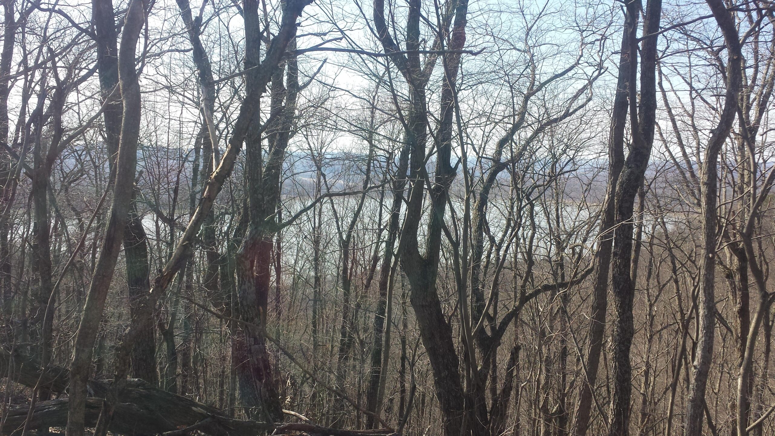
The Sheltowee Trace is Kentucky's longest trail. It runs 300 miles from north of Morehead into Tennessee. It spans the Daniel Boone National Forest as a multi-use trail for most of its length. Some sections are closed to mountain biking and many sections allow horses and ATVs as well.
First added by Ascentionist on Sep 24, 2013. Last updated Apr 28, 2020. → add an update
Before you go
- Drinking water: unknown
- Lift service: unknown
- Night riding: yes
- Pump track: unknown
- Restrooms: unknown
- Fat bike grooming: unknown
- E-bikes allowed: unknown
- Fee required: unknown
This trail information is user-generated. Help improve this information by suggesting a correction.
Southern terminus (new) at Leatherwood TH in Big South Fork NRRA (300 miles) or Pickett State Park, TN (old terminus and shorter)
Northern terminus on KY 377 (Cranston Rd) in far northern Rowan County
System trails (11)


Trail gets better near the lake. Beautiful scenery but the trail was mediocre. Ok beginner trail with a few intermediate dips.
| ThankThis is a fun trail however it is not marked very well. I rode an hour out and back and was able to cover about 14 miles on an unfamiliar trail. You will definitely need your low speed skills around the street crossing areas, great riding in those areas. Make sure you use trail forks or MtB project to find your turns.
This trail is used by dirt bikes as well, so there are a few sections that have their challenges.
| ThankGreat ride! I was traveling from Atlanta to Cincinnati and planned a stop here. This is a fast and flowing trail with nothing that needs much skill. I paired this trail up with the sheltowee sec 26(N) trail. You need to be an advanced rider to tackle this section. This has plenty of Rock gardens (I like rock)and obstacles. Awesome ride to do both together. Well worth my time to get off the highway!
| ThankThis is a great trail ..for hiking. I wish I'd read the reviews on here before I attempted riding it. I had a pack on , planning to camp overnight but the extra weight made the very difficult trail that much harder. It was a beautiful trail and I would love to go back and hike it. Warnings if you decide to try it: rocks and lots of them , rock staircases ( they all seem to be uphill) stinging nettles ..all throughout the trail by the river.
| ThankFrom the trailhead at the intersection of 92/1193, the Sheltowee Trail 100 (next to the big wooden notification board) takes 4 mi. exactly to Holly Bay boat launch/campground. It starts narrow & a little techical, then after 1.5 mi. gets wider with great flow. GORGEOUS views along the water most of the way.
| ThankFor December 29 and after a major wind and rain storm a day or two earlier the trail was a fantastic visit. We cleaned up some trail debris but a chainsaw is needed for at least 7 large trees across the trail, otherwise its in excellent shape.
| ThankGreat Trail. Beautiful Ride! plenty of technical areas along with some easy ride areas for beginners. Plenty of places to drop in or get out to limit the miles you ride.
| ThankLoved this trail! most mountain bikers won't like it. but if you like back country exploring, don't mind a little hike a bike and love a challenge then this trail is for you! Trail isn't maintain well, expect mud holes and ruts, downed trees, etc. to me though, that just adds to the adventure. in between the hike a bike and trees, there are some fun downhills, tricky climbs and fun creek crossings.
| Thankrode this trial and also cane creek yesterday, had a blast! Trail is fairly easy technically. very fun and flowing. doesn't seem to rough and rooty compared to other trails i have ridden. Being from northern indiana, the hills were a challenge towards the end of ride. I loved riding along the lake. It's similar to brown county trails, but it is more single track and a little more technical climbs. It was a 5 hour drive and we will be back.
| ThankIt has been a long time since I rode this trail. I forgot to post a review. Not a bad trail system, i started in the middle are and rode a few miles in during a light drizzle. Rockss and roots were slippery but provide a great amount of reasonable terrain for a enjoyable ride. Great scenery, with waterfalls and bridges. Some pretty cool man made obsticles to encounter as well. I was on a quick mission so I was only able to push out about 5 miles of the trail, but it was fun. Seemed like I was further from the lake, so I didn't see a soul while there. I think it is a nice trail system if you are in the area and have time to explore it, I wouldn't make a special trip to ride it, but it was nice to get on a trail while in the area on business.
| ThankI think some other reviewers are talking about another trail. Definitely go out of your way to ride this trail! Park at 192 and 1193 and ride south towards the lake. You probably won't see anybody else on the trail, maybe some hikers. It doesn't get used that much so debris will be on the trail, like branches piles of leaves, and hidden roots and rocks. On my ride yesterday I cleared a ton of crap off the trail and used a folding saw on bigger stuff.
| ThankThe ride itself is top biking with rolling hills and fast speed. Some technical sections with some man made obstacles, but one is falling apart so use at own risk. Always be on the lookout for small stumps that can catch a pedal, this is the wilderness.
I wouldn't recommend riding past the dam, that's more for hiking. I got a tick there yesterday. Very rugged past that point and a washed out creek crossing that can barely be crossed on foot. After the creek crossing there are downed trees everywhere and the terrain is dangerous.
I rode about 5 miles or so one way. I ask a local bike rider on the trail how long it was from the trail head to the dam, he said about 11 miles. That was too much for me, lots of up and down hills, it was a great workout for me. It seems like it could get dangerous in some spots. I drove almost an hour to get there, and wasn't disappointed. Great ride great people in the area, I'd recommend this trail. Watch out for hikers! I only seen 1 though.
| Thank6-7-15 #1 rated Mt Bike trail in KY lol what a joke not worth the trouble 2 mile by the lake is it , not even a trail map at the TH at the Y
| ThankGreat Appalachian Ky Mtb riding for all Levels. Lake trail is easy, flows well & has good climbs but Cane Creek is a whole other beast. Rock gardens, trees to carry your bike over water falls & some very technical areas. Plenty of trail & miles for days. I can't ask for more the portions of downhill are a thrill. I'd be careful how far you get out, there are sections from the trails that have no Strava segments & you can get lost in those woods. I really recommend you hit the trail w/ someone that knows the area or you may end up in Tennessee. There are some creek crossings, bridges & downhill to uphill switch backs that can stop you in your tracks if you've failed to switch gears on time. I have put in 30 plus miles in 2 days & for the most part there where some parts that I round tripped but then found other trail segment to divert from. I would have to say this is better than green river by far...
| Thank2nd Review, hit this trail again lately and A LOT of improvements have been made, added structures and tree clearing has made this a really fun ride. It is still very technical and still has a few hike-a-bike sections but well worth it for the beautiful scenery. I suggest riding down to Cane Creek, hike the bike over the bridge and up past Van Hook Falls (approx. 1/8 mile hike) then ride the Rockcastle Narrows Loop then back (*see map pics*). Good Stuff going on here, keep up the improvements.
| ThankTerrible trail that is just a big mud pit. Horses ruined it.
| ThankGreat little trail network in the area. Park at the Y and head north for some really scenic technical riding (lots of waterfalls) out and back or south and go around the lake. Go on past the dam a few miles on the trail for some great stuff, too. It gets kinda sketchy for about a mile after about 12 miles, but if you can leave a car at the Mouth of Laurel Boat Ramp its a nice point to point ride.
| ThankThis trail just keeps getting better and better. It is being maintained and some obstacles have even been added to make the trail interesting to us mtn bikers. You can keep your speed up for most of the trail so that even the flat parts become fun
| ThankI enjoyed this trail. But it shouldn't be ranked #201. That is what it is asw I write this review. I would consider this a trail that would be great for locals. Don't go way out of your way to ride it.
| ThankI am so glad I read this review. I rode the part around the lake and loved it. When I saw you could go all way to the falls I wanted to ride that also. Then I read this review I decided to hike it 1st. I'm so glad I did. It was a tough hike I couldn't imagine having to drag my bike through that also. By all means do this trail because it's one of the prettiest I've seen but leave your bike at home for this one.
| Thank