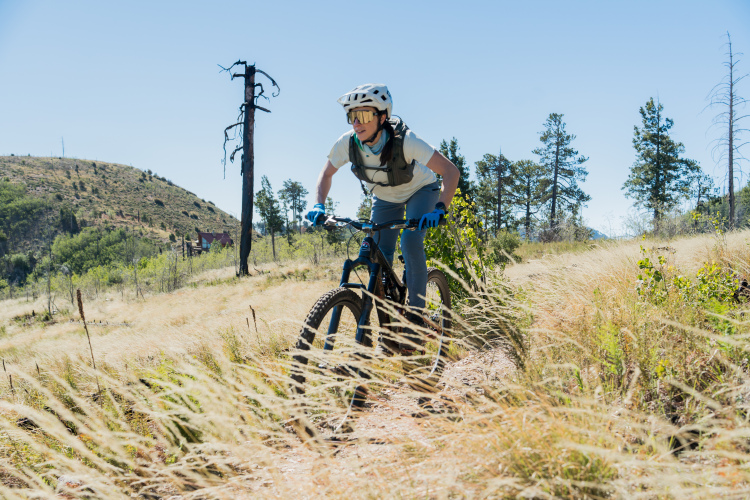
19 Trails in Queen Creek, Arizona
| Trail Name | Difficulty | Length (mi) | Rating | City |
|---|---|---|---|---|
| Usery Mountain Regional Park |  |
20.0 | Mesa | |
| Secret, Tech & K (Cloudview) |  |
9.0 | Gold Canyon | |
| San Tan |  |
10.0 | Queen Creek | |
| Ridge Trail (Hawes Trail System) | |
2.0 | Mesa | |
| Prospector Loop | |
5.0 | Apache Jct | |
| Pass Mountain (Usery Mountain Regional Park) | |
8.0 | Mesa | |
| Moon Rock Loop (Usery Mountain Regional Park) | |
3.0 | Mesa | |
| Lost Goldmine & Cougar Loop (Cloudview) | |
4.0 | Gold Canyon | |
| Lost Dutchman State Park | |
5.0 | Apache Junction | |
| Levee Loop (Usery Mountain Regional Park) |  |
7.0 | Mesa | |
| K-trail & Vortex (Cloudview) | |
10.0 | Gold Canyon | |
| Holy Hill And Gila Monster (Cloudview) | |
7.0 | Gold Canyon | |
| Hawes Trail System | |
12 | Mesa | |
| Gila Monster-Diamondback-K-Trail | |
11.0 | Gold Canyon | |
| East Maricopa Floodway |  |
8.0 | Mesa | |
| Cloudview | |
20.0 | Gold Canyon | |
| Cat Peaks Via Ruidoso (Usery Mountain Regional Park) | |
5.0 | Mesa | |
| Cat Peaks - Blevin - Moonrock | |
6.0 | Mesa | |
| Blevins Via Meridian (Usery Mountain Regional Park) | |
5.0 | Mesa |
Know of a new mountain bike trail not listed here? Please tell us about it using this form. Find mountain bike trails near you or for even more trail inspiration and how we ranked the mountain bike trails, see this list of the best mountain bike trails in the world.